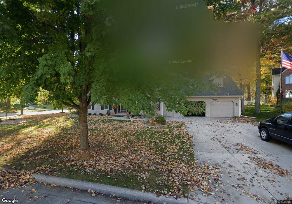
622 Doe Trail Ct Green Bay, WI 54313
Westside NeighborhoodEstimated Value: $441,902 - $530,000
3
Beds
3
Baths
1,348
Sq Ft
$353/Sq Ft
Est. Value
About This Home
This home is located at 622 Doe Trail Ct, Green Bay, WI 54313 and is currently estimated at $476,226, approximately $353 per square foot. 622 Doe Trail Ct is a home located in Brown County with nearby schools including MacArthur Elementary School, Lombardi Middle School, and Southwest High School.
Ownership History
Date
Name
Owned For
Owner Type
Purchase Details
Closed on
Nov 15, 2005
Sold by
Eldredge Ronald T and Eldredge Nancy W
Bought by
Harris Frederick E and Harris Cheryl A
Current Estimated Value
Home Financials for this Owner
Home Financials are based on the most recent Mortgage that was taken out on this home.
Original Mortgage
$192,000
Outstanding Balance
$102,036
Interest Rate
6.04%
Mortgage Type
Fannie Mae Freddie Mac
Estimated Equity
$374,190
Purchase Details
Closed on
Jan 13, 1998
Sold by
Adams Kevin P and Adams Tami J
Bought by
Eldredge Ronald T and Eldredge Nancy W
Home Financials for this Owner
Home Financials are based on the most recent Mortgage that was taken out on this home.
Original Mortgage
$171,600
Interest Rate
7.08%
Mortgage Type
Balloon
Create a Home Valuation Report for This Property
The Home Valuation Report is an in-depth analysis detailing your home's value as well as a comparison with similar homes in the area
Home Values in the Area
Average Home Value in this Area
Purchase History
| Date | Buyer | Sale Price | Title Company |
|---|---|---|---|
| Harris Frederick E | $240,000 | Land Office Title Corp | |
| Eldredge Ronald T | $214,500 | -- |
Source: Public Records
Mortgage History
| Date | Status | Borrower | Loan Amount |
|---|---|---|---|
| Open | Harris Frederick E | $192,000 | |
| Previous Owner | Eldredge Ronald T | $171,600 |
Source: Public Records
Tax History
| Year | Tax Paid | Tax Assessment Tax Assessment Total Assessment is a certain percentage of the fair market value that is determined by local assessors to be the total taxable value of land and additions on the property. | Land | Improvement |
|---|---|---|---|---|
| 2025 | $7,171 | $356,900 | $53,800 | $303,100 |
| 2024 | $6,817 | $356,900 | $53,800 | $303,100 |
| 2023 | $6,551 | $356,900 | $53,800 | $303,100 |
| 2022 | $6,376 | $356,900 | $53,800 | $303,100 |
| 2021 | $5,185 | $221,500 | $55,600 | $165,900 |
| 2020 | $5,214 | $221,500 | $55,600 | $165,900 |
| 2019 | $5,065 | $221,500 | $55,600 | $165,900 |
| 2018 | $4,940 | $221,500 | $55,600 | $165,900 |
| 2017 | $4,858 | $221,500 | $55,600 | $165,900 |
| 2016 | $4,786 | $221,500 | $55,600 | $165,900 |
| 2015 | $4,871 | $221,500 | $55,600 | $165,900 |
| 2014 | $5,055 | $221,500 | $55,600 | $165,900 |
| 2013 | $5,055 | $221,500 | $55,600 | $165,900 |
Source: Public Records
Map
Nearby Homes
- 905 Red Fox Dr
- 2919 Hornsby Way
- 2610 Sumac Place
- 1000 Rolling Green Dr
- 1437 Baumgart Rd
- 120 Stonebridge Ct
- 1327 Sandstone Place
- 3089 Ferndale Dr
- 209 E Trillium Cir
- 3096 S Sandstone Ct
- 4179 Hillcrest Dr
- 1935 E Telemark Cir
- 1945 Everbreeze Rd
- 2439 W Point Rd
- 1789 Maidstone Cir
- 1274 S Sedona Cir
- 1940 Renaissance Ct
- 510 Lambeau St
- 0 Packerland Dr Unit 50252275
- 0 Packerland Dr Unit 50159218
- 614 Doe Trail Ct
- 709 Antelope Trail
- 709 Antelope Tr
- 703 Antelope Trail
- 623 Doe Trail Ct
- 2839 Doe Trail
- 2847 Doe Trail
- 2831 Doe Trail
- 617 Antelope Trail
- 605 Doe Trail Ct
- 2819 Doe Tr
- 2814 Doe Trail
- 617 Doe Trail Ct
- 2819 Doe Trail
- 2851 Antler Tr
- 2851 Antler Trail
- 2839 Antler Trail
- 2855 Antler Trail
- 2831 Antler Trail
- 2855 Antler Tr
Your Personal Tour Guide
Ask me questions while you tour the home.