Estimated Value: $192,000 - $380,000
Studio
--
Bath
1,443
Sq Ft
$196/Sq Ft
Est. Value
About This Home
This home is located at 622 McAndy Ln, Many, LA 71449 and is currently estimated at $283,103, approximately $196 per square foot. 622 McAndy Ln is a home located in Sabine Parish with nearby schools including Many Junior High School and Many High School.
Ownership History
Date
Name
Owned For
Owner Type
Purchase Details
Closed on
Nov 28, 2017
Sold by
Britt Dale Gordon and Britt Dale Gordon
Bought by
Peterson Joseph Williams and Peterson Chstity Hunter
Current Estimated Value
Home Financials for this Owner
Home Financials are based on the most recent Mortgage that was taken out on this home.
Original Mortgage
$216,015
Outstanding Balance
$179,284
Interest Rate
3.94%
Mortgage Type
FHA
Estimated Equity
$103,819
Create a Home Valuation Report for This Property
The Home Valuation Report is an in-depth analysis detailing your home's value as well as a comparison with similar homes in the area
Purchase History
| Date | Buyer | Sale Price | Title Company |
|---|---|---|---|
| Peterson Joseph Williams | $220,000 | None Available |
Source: Public Records
Mortgage History
| Date | Status | Borrower | Loan Amount |
|---|---|---|---|
| Open | Peterson Joseph Williams | $216,015 |
Source: Public Records
Tax History
| Year | Tax Paid | Tax Assessment Tax Assessment Total Assessment is a certain percentage of the fair market value that is determined by local assessors to be the total taxable value of land and additions on the property. | Land | Improvement |
|---|---|---|---|---|
| 2025 | $651 | $15,031 | $1,813 | $13,218 |
| 2024 | $579 | $15,031 | $1,813 | $13,218 |
| 2023 | $279 | $11,179 | $1,596 | $9,583 |
| 2022 | $938 | $11,179 | $1,596 | $9,583 |
| 2021 | $1,009 | $11,179 | $1,596 | $9,583 |
| 2020 | $1,096 | $11,179 | $1,596 | $9,583 |
| 2019 | $1,060 | $11,168 | $1,585 | $9,583 |
| 2018 | $794 | $7,943 | $1,363 | $6,580 |
| 2017 | $777 | $7,807 | $1,227 | $6,580 |
| 2016 | $773 | $7,807 | $1,227 | $6,580 |
| 2015 | $28 | $7,792 | $1,212 | $6,580 |
| 2014 | $32 | $7,830 | $1,217 | $6,613 |
Source: Public Records
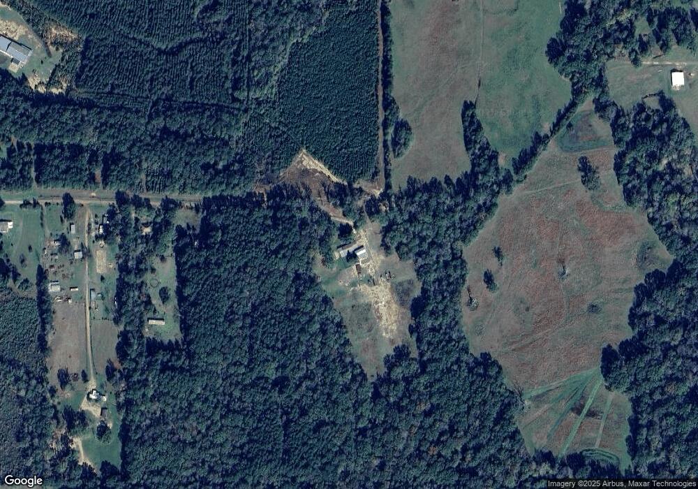
Map
Nearby Homes
- 1521 Petty Rd
- 0 Rabbit Run Rd
- 2348 Natchitoches Hwy
- 365 Monk Dr
- 222 Rae Rd
- 1113 Alieze St
- 295 Pine St
- 18692 Louisiana 175 Unit Tract 4
- 910 Ponder St Unit 27
- 805 Trace St
- 295 Highland Ave
- 765 N Capitol St
- 0 Chasin Fin Dr Unit 6
- 0 Chasin Fin Dr Unit 5
- 0 Chasin Fin Dr Unit 4
- 0 Commercial Park Dr Unit 10931381
- 00 Chasin Fin Dr Unit 2
- 0 Chasin Fin Dr Unit 7
- 00 Chasin Fin Dr Unit 3
- 825 Shreveport Hwy
- 446 McAndy Ln
- 410 McAndy Ln
- 85 Carolyn Dr
- 180 Carolyn Dr
- 326 McAndy Ln
- 1283 Cb Byrd Rd
- 260 McAndy Ln
- 228 McAndy Ln
- TBD Cb Byrd Rd
- 0 C B Byrd Rd Unit 1B 11545504
- 0 C B Byrd Rd Unit 1A 11545475
- 1 C B Byrd Rd
- 0 C B Byrd Rd
- 1144 Cb Byrd Rd
- 91 McAndy Ln
- 3086 Marthaville Rd
- 2994 Marthaville Rd
- 194 Simpson Dr
- 1374 Cb Byrd Rd
- 2926 Marthaville Rd
Your Personal Tour Guide
Ask me questions while you tour the home.