622 Mt Evans Rd Golden, CO 80401
Mount Vernon NeighborhoodEstimated Value: $934,201 - $1,099,000
4
Beds
3
Baths
2,647
Sq Ft
$390/Sq Ft
Est. Value
About This Home
This home is located at 622 Mt Evans Rd, Golden, CO 80401 and is currently estimated at $1,032,800, approximately $390 per square foot. 622 Mt Evans Rd is a home located in Jefferson County with nearby schools including Ralston Elementary School, Bell Middle School, and Golden High School.
Ownership History
Date
Name
Owned For
Owner Type
Purchase Details
Closed on
Jul 13, 2020
Sold by
Dufford Andrew Philip
Bought by
Andrew Dufford Trust
Current Estimated Value
Purchase Details
Closed on
Apr 28, 2016
Sold by
Plaut Frank and Plaut Linda
Bought by
Dufford Andrew Phillip
Home Financials for this Owner
Home Financials are based on the most recent Mortgage that was taken out on this home.
Original Mortgage
$458,850
Outstanding Balance
$358,922
Interest Rate
3.71%
Mortgage Type
New Conventional
Estimated Equity
$673,878
Create a Home Valuation Report for This Property
The Home Valuation Report is an in-depth analysis detailing your home's value as well as a comparison with similar homes in the area
Home Values in the Area
Average Home Value in this Area
Purchase History
| Date | Buyer | Sale Price | Title Company |
|---|---|---|---|
| Andrew Dufford Trust | -- | None Available | |
| Dufford Andrew Phillip | $580,000 | Heritage Title |
Source: Public Records
Mortgage History
| Date | Status | Borrower | Loan Amount |
|---|---|---|---|
| Open | Dufford Andrew Phillip | $458,850 |
Source: Public Records
Tax History
| Year | Tax Paid | Tax Assessment Tax Assessment Total Assessment is a certain percentage of the fair market value that is determined by local assessors to be the total taxable value of land and additions on the property. | Land | Improvement |
|---|---|---|---|---|
| 2024 | $7,660 | $56,300 | $18,994 | $37,306 |
| 2023 | $7,660 | $56,300 | $18,994 | $37,306 |
| 2022 | $6,721 | $47,452 | $17,218 | $30,234 |
| 2021 | $6,857 | $48,818 | $17,714 | $31,104 |
| 2020 | $6,060 | $42,408 | $11,141 | $31,267 |
| 2019 | $5,053 | $42,408 | $11,141 | $31,267 |
| 2018 | $4,713 | $38,584 | $10,103 | $28,481 |
| 2017 | $4,406 | $38,584 | $10,103 | $28,481 |
| 2016 | $2,711 | $30,595 | $11,770 | $18,825 |
| 2015 | $2,948 | $30,595 | $11,770 | $18,825 |
| 2014 | $2,948 | $31,466 | $13,580 | $17,886 |
Source: Public Records
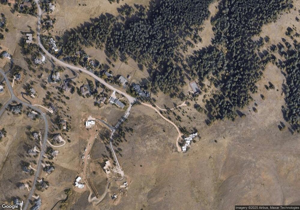
Map
Nearby Homes
- 25997 Mountain View Rd
- 350 Tower Hill Cir
- 26400 Columbine Glen Ave
- 16 S Mt Vernon Country Club Rd
- 36 S Mt Vernon Country Club Rd
- 25833 Gateway Dr
- 25924 Gateway Dr
- 27407 Upper Cold Spg Gulch Rd
- 17222 Little Shadow Trail
- 000 Upper Moss Rock Rd
- 671 Trailside Dr Unit 671
- 980 Twisted Pine Rd
- 24999 Grandview Ave
- 22901 Pinecrest Rd
- 23860 Genesee Village Rd
- 23846 Genesee Village Rd
- 23666 Pondview Place Unit H
- 23660 Pondview Place Unit E
- 23979 High Meadow Dr
- 23624 Pondview Place Unit G
- 632 Mt Evans Rd
- 642 Mt Evans Rd
- 624 Chickadee Rd
- 615 Chickadee Rd
- 614 Chickadee Rd
- 593 Mt Evans Rd
- 631 Range View Trail
- 650 Range View Trail
- 594 Chickadee Rd
- 0 Range View Trail
- 560 Range View Trail
- 608 Kinnikinnik Hill
- 552 Mt Evans Rd
- 618 Kinnikinnik Hill
- 00 Range View Trail W
- 570 Range View Trail
- 628 Kinnikinnik Hill
- 680 Range View Trail
- 551 Range View Trail
- 588 Kinnikinnik Hill
Your Personal Tour Guide
Ask me questions while you tour the home.