622 Playground Rd Walhalla, SC 29691
Estimated Value: $230,179 - $249,000
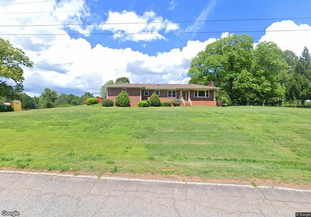
About This Home
This home is located at 622 Playground Rd, Walhalla, SC 29691 and is currently estimated at $241,795, approximately $176 per square foot. 622 Playground Rd is a home located in Oconee County with nearby schools including Walhalla Elementary School, Walhalla Middle School, and Walhalla High School.
Ownership History
We collect this data history from publicly available records. To have your information removed, we recommend requesting removal directly through your county’s website.
Purchase Details
Purchase Details
Purchase Details
Home Values in the Area
Average Home Value in this Area
Purchase History
We collect this data history from publicly available records. To have your information removed, we recommend requesting removal directly through your county’s website.
| Date | Buyer | Sale Price | Title Company |
|---|---|---|---|
| -- | None Listed On Document | ||
| -- | -- | ||
| -- | None Listed On Document | ||
| -- | None Listed On Document |
Tax History
We collect this data history from publicly available records. To have your information removed, we recommend requesting removal directly through your county’s website.
| Year | Tax Paid | Tax Assessment Tax Assessment Total Assessment is a certain percentage of the fair market value that is determined by local assessors to be the total taxable value of land and additions on the property. | Land | Improvement |
|---|---|---|---|---|
| 2025 | $651 | $6,214 | $548 | $5,666 |
| 2024 | $651 | $6,214 | $548 | $5,666 |
| 2023 | $1,769 | $5,411 | $548 | $4,863 |
| 2022 | $1,769 | $5,411 | $548 | $4,863 |
| 2021 | $303 | $5,035 | $438 | $4,597 |
| 2020 | $338 | $0 | $0 | $0 |
| 2019 | $338 | $0 | $0 | $0 |
| 2018 | $1,118 | $0 | $0 | $0 |
| 2017 | $303 | $0 | $0 | $0 |
| 2016 | $303 | $0 | $0 | $0 |
| 2015 | -- | $0 | $0 | $0 |
| 2014 | -- | $4,887 | $603 | $4,284 |
| 2013 | -- | $0 | $0 | $0 |
Map
- Tract B Bobolink Dr
- 225 Meadowlark Dr
- 235 Meadowlark Dr
- 185 Earlestead Dr
- 606 N Poplar St
- 223 N Dogwood Dr
- 301 Playground Rd
- Lot 7a Hunters Run Annex
- Lot 30/31 Den Ridge Dr
- Lot 33 Den Ridge Dr
- Lot 32 Den Ridge Dr
- 199 Leaf Shadow Ln
- Lots 22 & 21A Cub Cove Dr
- 221 Cub Cove Dr
- 229 Cub Cove Dr
- 323 Fox Run Rd
- 304 Capps Rd
- 00 Abbott Ln
- 858 Robinhood Dr
- 804 W North Broad St
- 101 Peach Dr
- 603 Playground Rd
- 105 Peach Dr
- 600 Playground Rd
- 105 Bobolink Dr
- 00 Playground Rd Unit Rocky Knoll Road
- 00 Playground Rd
- L2 Playground Rd
- 631 Playground Rd
- 528 Playground Rd Unit Bobolink
- 528 Playground Rd
- 111 Bobolink Dr
- 706 N Poplar St
- 112 Bobolink Dr
- 000 Bobolink Dr
- 01-03 Bobolink Dr
- 00 Bobolink Dr
- Lot 10 Sec 2 Bobolink Dr
- 526 Playground Rd
- 104 Bobolink Dr
Ask me questions while you tour the home.