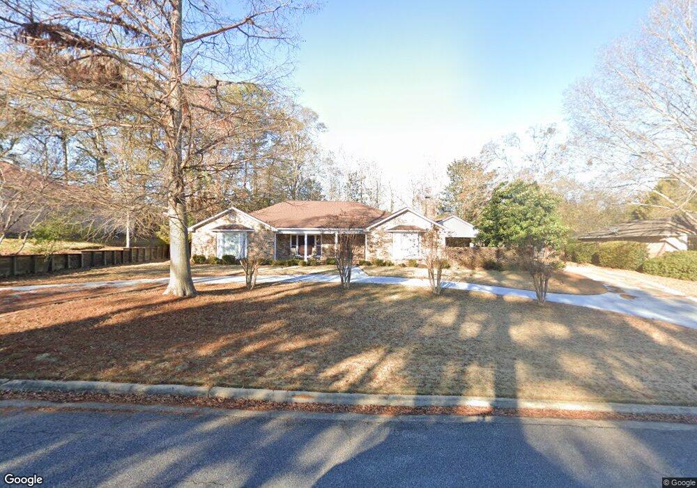
6235 Cape Cod Dr Columbus, GA 31904
North Columbus NeighborhoodEstimated Value: $432,191 - $502,000
4
Beds
4
Baths
3,000
Sq Ft
$157/Sq Ft
Est. Value
About This Home
This home is located at 6235 Cape Cod Dr, Columbus, GA 31904 and is currently estimated at $471,798, approximately $157 per square foot. 6235 Cape Cod Dr is a home located in Muscogee County with nearby schools including River Road Elementary School, Double Churches Middle School, and Northside High School.
Ownership History
Date
Name
Owned For
Owner Type
Purchase Details
Closed on
Oct 25, 2019
Sold by
Kennon Realty Svcs Inc
Bought by
Lee Bradford W and Lee Christina M W
Current Estimated Value
Home Financials for this Owner
Home Financials are based on the most recent Mortgage that was taken out on this home.
Original Mortgage
$280,000
Outstanding Balance
$180,067
Interest Rate
3.6%
Estimated Equity
$291,731
Purchase Details
Closed on
Oct 17, 2018
Sold by
Cook Corrinne
Bought by
Kennon Realty Svcs Inc
Purchase Details
Closed on
May 27, 2011
Sold by
Cook Corrinne H
Bought by
Cook Corrinne
Create a Home Valuation Report for This Property
The Home Valuation Report is an in-depth analysis detailing your home's value as well as a comparison with similar homes in the area
Home Values in the Area
Average Home Value in this Area
Purchase History
| Date | Buyer | Sale Price | Title Company |
|---|---|---|---|
| Lee Bradford W | $350,000 | -- | |
| Kennon Realty Svcs Inc | -- | -- | |
| Cook Corrinne | -- | -- |
Source: Public Records
Mortgage History
| Date | Status | Borrower | Loan Amount |
|---|---|---|---|
| Open | Lee Bradford W | $280,000 |
Source: Public Records
Tax History
| Year | Tax Paid | Tax Assessment Tax Assessment Total Assessment is a certain percentage of the fair market value that is determined by local assessors to be the total taxable value of land and additions on the property. | Land | Improvement |
|---|---|---|---|---|
| 2025 | $4,928 | $187,228 | $25,296 | $161,932 |
| 2024 | $4,927 | $187,228 | $25,296 | $161,932 |
| 2023 | $4,263 | $187,228 | $25,296 | $161,932 |
| 2022 | $5,138 | $147,984 | $25,296 | $122,688 |
| 2021 | $5,132 | $139,068 | $25,296 | $113,772 |
| 2020 | $5,133 | $139,068 | $25,296 | $113,772 |
| 2019 | $4,108 | $117,968 | $25,296 | $92,672 |
| 2018 | $1,157 | $117,968 | $25,296 | $92,672 |
| 2017 | $1,162 | $117,968 | $25,296 | $92,672 |
| 2016 | $1,168 | $81,212 | $11,158 | $70,054 |
| 2015 | $469 | $81,212 | $11,158 | $70,054 |
| 2014 | $470 | $81,212 | $11,158 | $70,054 |
| 2013 | -- | $81,212 | $11,158 | $70,054 |
Source: Public Records
Map
Nearby Homes
- 6333 Cape Cod Dr
- 6390 Cape Cod Dr
- 6686 Glenmore Way
- 6101 River Rd Unit 13
- 6101 River Rd Unit 2
- 6101 River Rd Unit 5
- 6771 Mobley Rd
- 6400 Green Island Dr Unit 42
- 6400 Green Island Dr Unit 2
- 5602 Morris Ave
- 304 Woodstream Dr
- 1045 King Place Dr
- 280 Zachary Ct
- 268 Woodstream Dr
- 831 53rd St
- 7015 Spring Walk Dr
- 6801 River Rd Unit 406
- 6801 River Rd Unit 407
- 5333 Morris Ave
- 248 Woodstream Dr
- 6301 Cape Cod Dr
- 6227 Cape Cod Dr
- 6218 Seminary Rd
- 6226 Seminary Rd
- 6238 Cape Cod Dr
- 6309 Cape Cod Dr
- 6228 Cape Cod Dr
- 6219 Cape Cod Dr
- 6210 Seminary Rd
- 6244 Seminary Rd
- 6218 Cape Cod Dr
- 6310 Cape Cod Dr
- 6317 Cape Cod Dr
- 2 Milton Ct
- 6219 Seminary Rd
- 6201 Cape Cod Dr
- 6229 Seminary Rd
- 6202 Seminary Rd
- 6208 Cape Cod Dr
- 6252 Seminary Rd
Your Personal Tour Guide
Ask me questions while you tour the home.