62387 Singleton Rd Roseland, LA 70456
Estimated Value: $140,000 - $177,000
Studio
--
Bath
1,240
Sq Ft
$129/Sq Ft
Est. Value
About This Home
This home is located at 62387 Singleton Rd, Roseland, LA 70456 and is currently estimated at $159,715, approximately $128 per square foot. 62387 Singleton Rd is a home located in Tangipahoa Parish with nearby schools including Amite Elementary Magnet School, Amite Westside Middle Magnet, and Amite High Magnet.
Ownership History
Date
Name
Owned For
Owner Type
Purchase Details
Closed on
May 7, 2008
Sold by
Weaver Samuel Richard
Bought by
Alford Amanda Christi
Current Estimated Value
Create a Home Valuation Report for This Property
The Home Valuation Report is an in-depth analysis detailing your home's value as well as a comparison with similar homes in the area
Purchase History
| Date | Buyer | Sale Price | Title Company |
|---|---|---|---|
| Alford Amanda Christi | -- | None Available |
Source: Public Records
Tax History
| Year | Tax Paid | Tax Assessment Tax Assessment Total Assessment is a certain percentage of the fair market value that is determined by local assessors to be the total taxable value of land and additions on the property. | Land | Improvement |
|---|---|---|---|---|
| 2025 | $615 | $7,493 | $1,193 | $6,300 |
| 2024 | $612 | $7,493 | $1,193 | $6,300 |
| 2023 | $556 | $7,205 | $1,105 | $6,100 |
| 2022 | $556 | $7,205 | $1,105 | $6,100 |
| 2021 | $555 | $7,205 | $1,105 | $6,100 |
| 2020 | $555 | $7,205 | $1,105 | $6,100 |
| 2019 | $556 | $7,205 | $1,105 | $6,100 |
| 2018 | $556 | $7,205 | $1,105 | $6,100 |
| 2017 | $556 | $7,205 | $1,105 | $6,100 |
| 2016 | $556 | $7,205 | $1,105 | $6,100 |
| 2015 | -- | $7,471 | $1,105 | $6,366 |
| 2014 | $2 | $7,471 | $1,105 | $6,366 |
Source: Public Records
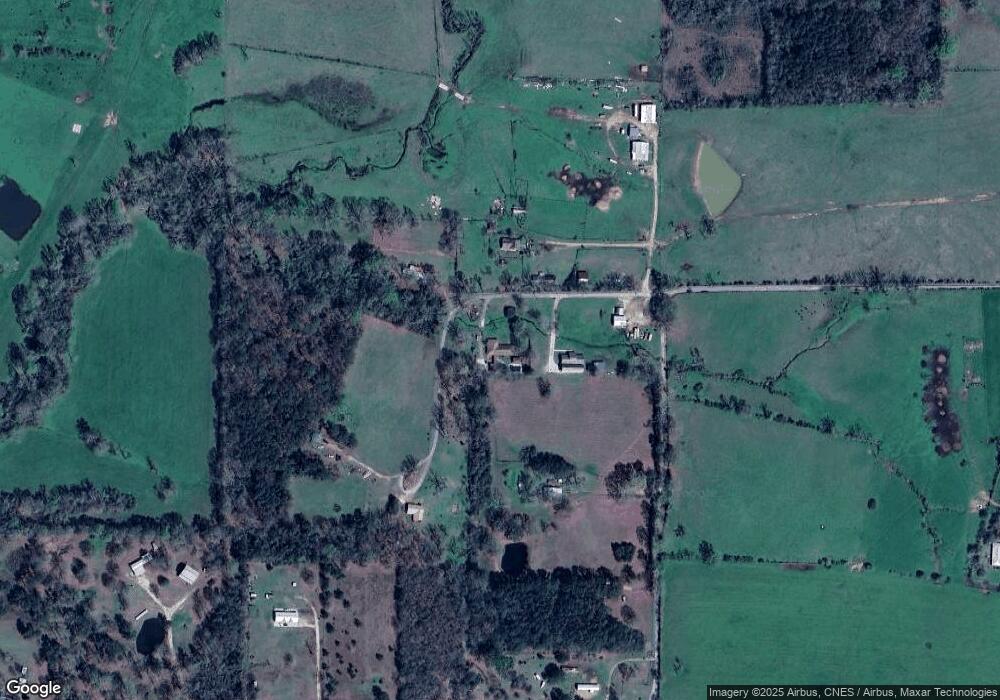
Map
Nearby Homes
- 01 Bobcat Trail
- 02 Louisiana 1046
- 0 Tbd Seibert Rd
- 1899 Highway 1046
- 03 Louisiana 1047
- 122 Charles Davis Ln
- 3.50 ACRES Bennett Rd
- TBD Boomerang Rd
- Tract B Boomerang Rd
- Tract C Boomerang Rd
- Conrad Hebert Rd Unit LotWP001
- 0 S Roseland Ave Unit 2501645
- 61064 Highway 1046
- 0 Hwy 1045 Hwy Unit LotWP004 24553809
- 0 Hwy 1045 Hwy Unit LotWP003 24553811
- 10082 Highway 1045
- 255 Jp Thomas Rd
- 255 J P Thomas Rd
- 12558 Central Ave
- 62369 Singleton Rd
- 62329 Singleton Rd
- 62267 Singleton Rd
- 62251 Singleton Rd
- 63391 Bennett Rd
- 62397 Singleton Rd
- 62181 Smart Rd
- 10002 Rhody Rd
- 10058 Rhody Rd
- 751 Bobcat Trail
- 751 Bobcat Trail
- 63278 Bennett Rd
- 649 Bobcat Trail
- 62333 Smart Rd
- 525 Bobcat Trail
- 63459 Bennett Rd
- 62380 Smart Rd
- 63521 Bennett Rd
- 63278 Bennett Rd
- 63260 Bennett Rd
Your Personal Tour Guide
Ask me questions while you tour the home.