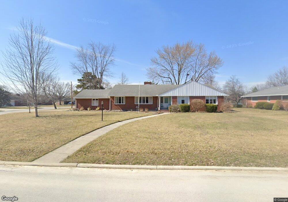
624 E Circle Dr Findlay, OH 45840
Estimated Value: $287,000 - $318,000
4
Beds
3
Baths
2,113
Sq Ft
$144/Sq Ft
Est. Value
About This Home
This home is located at 624 E Circle Dr, Findlay, OH 45840 and is currently estimated at $303,355, approximately $143 per square foot. 624 E Circle Dr is a home located in Hancock County with nearby schools including Wilson Vance Elementary School, Whittier Elementary School, and Donnell Middle School.
Ownership History
Date
Name
Owned For
Owner Type
Purchase Details
Closed on
Nov 30, 2015
Bought by
Brandeberry Karl G and Brandeberry Susan E
Current Estimated Value
Home Financials for this Owner
Home Financials are based on the most recent Mortgage that was taken out on this home.
Interest Rate
3.95%
Create a Home Valuation Report for This Property
The Home Valuation Report is an in-depth analysis detailing your home's value as well as a comparison with similar homes in the area
Home Values in the Area
Average Home Value in this Area
Purchase History
| Date | Buyer | Sale Price | Title Company |
|---|---|---|---|
| Brandeberry Karl G | $135,000 | -- |
Source: Public Records
Mortgage History
| Date | Status | Borrower | Loan Amount |
|---|---|---|---|
| Open | Brandeberry Susan E | $51,000 | |
| Previous Owner | Brandeberry Karl G | -- |
Source: Public Records
Tax History
| Year | Tax Paid | Tax Assessment Tax Assessment Total Assessment is a certain percentage of the fair market value that is determined by local assessors to be the total taxable value of land and additions on the property. | Land | Improvement |
|---|---|---|---|---|
| 2024 | $2,915 | $82,050 | $13,260 | $68,790 |
| 2023 | $2,919 | $82,050 | $13,260 | $68,790 |
| 2022 | $2,909 | $82,050 | $13,260 | $68,790 |
| 2021 | $2,996 | $73,620 | $13,280 | $60,340 |
| 2020 | $2,996 | $73,620 | $13,280 | $60,340 |
| 2019 | $2,587 | $73,620 | $13,280 | $60,340 |
| 2018 | $2,243 | $60,360 | $12,080 | $48,280 |
| 2017 | $1,122 | $60,360 | $12,080 | $48,280 |
| 2016 | $2,212 | $60,360 | $12,080 | $48,280 |
| 2015 | $2,949 | $67,440 | $13,260 | $54,180 |
| 2014 | $3,033 | $67,440 | $13,260 | $54,180 |
| 2012 | $2,584 | $67,440 | $13,260 | $54,180 |
Source: Public Records
Map
Nearby Homes
- 1308 Greendale Ave
- 630 Winterhaven Dr
- 631 Winterhaven Dr
- 1020 Country Club Dr
- 1125 Glen Meadow Dr
- 1209 Heather Dr
- 1450 Fostoria Ave
- 1108 Glen Meadow Dr
- 1724 Queenswood Dr Unit 10 (2-C)
- 100 Warrington Ave
- 1331 Countryside Dr
- 1825 Greendale Ave
- 1828 Queenswood Dr
- 439 Carnahan Ave
- 1642 Cherry Ln
- 300 W Sawmill Rd
- 626 Central Ave
- 1312 Bernard Ave
- 309 Huron Rd
- 400 Chase Rd
- 625 W Circle Dr
- 700 E Circle Dr
- 701 W Circle Dr
- 621 E Circle Dr
- 601 E Circle Dr
- 631 E Circle Dr
- 611 E Circle Dr
- 600 W Circle Dr
- 710 E Circle Dr
- 707 W Circle Dr
- 701 E Circle Dr
- 630 W Circle Dr
- 620 W Circle Dr
- 610 W Circle Dr
- 1521 Greendale Ave
- 1520 South Ct
- 700 W Circle Dr
- 715 W Circle Dr
- 720 E Circle Dr
- 711 E Circle Dr
Your Personal Tour Guide
Ask me questions while you tour the home.