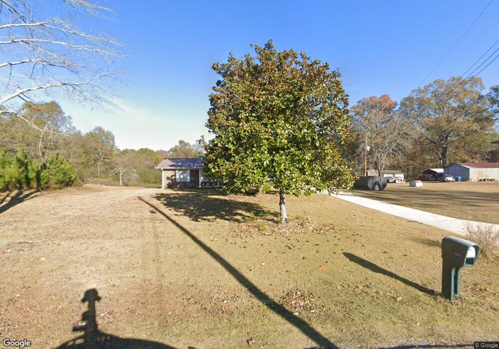
626 Koa Rd Riverside, AL 35135
Estimated Value: $181,000 - $262,000
About This Home
This home is located at 626 Koa Rd, Riverside, AL 35135 and is currently estimated at $216,091, approximately $130 per square foot. 626 Koa Rd is a home located in St. Clair County.
Ownership History
We collect this data history from publicly available records. To have your information removed, we recommend requesting removal directly through your county’s website.
Purchase Details
Home Financials for this Owner
Home Financials are based on the most recent Mortgage that was taken out on this home.Home Values in the Area
Average Home Value in this Area
Purchase History
We collect this data history from publicly available records. To have your information removed, we recommend requesting removal directly through your county’s website.
| Date | Buyer | Sale Price | Title Company |
|---|---|---|---|
| $145,000 | None Listed On Document |
Mortgage History
We collect this data history from publicly available records. To have your information removed, we recommend requesting removal directly through your county’s website.
| Date | Status | Borrower | Loan Amount |
|---|---|---|---|
| Open | $116,000 |
Tax History
We collect this data history from publicly available records. To have your information removed, we recommend requesting removal directly through your county’s website.
| Year | Tax Paid | Tax Assessment Tax Assessment Total Assessment is a certain percentage of the fair market value that is determined by local assessors to be the total taxable value of land and additions on the property. | Land | Improvement |
|---|---|---|---|---|
| 2025 | $1,068 | $26,040 | $0 | $0 |
| 2024 | $1,068 | $26,042 | $2,640 | $23,402 |
| 2023 | $1,068 | $26,042 | $2,640 | $23,402 |
| 2022 | $945 | $23,042 | $2,280 | $20,762 |
| 2021 | $733 | $23,042 | $2,280 | $20,762 |
| 2020 | $733 | $20,342 | $2,288 | $18,054 |
| 2019 | $728 | $20,192 | $2,288 | $17,904 |
| 2018 | $611 | $16,960 | $0 | $0 |
| 2017 | $301 | $16,960 | $0 | $0 |
| 2016 | $611 | $16,960 | $0 | $0 |
| 2015 | $301 | $8,500 | $0 | $0 |
| 2014 | $301 | $8,360 | $0 | $0 |
Map
- 200 Ellington Way
- 40 Highland View Dr
- 0 Highway 78 Unit 21385331
- 625 Creek Ridge Dr
- 311 Seddon Rd
- 404 Paradise Isle Unit 404
- 403 Paradise Isle
- 363 Mc Kesie St
- 088 McKesie St
- 200 Maplewood Cir
- 242 Deerfield Rd
- 008100 McKesie St
- 2050 Morris Farms Dr
- 10 Seddon Point
- 4308 Cogswell Ave
- 230 Country Club Rd
- 12690 Highway 78
- 00 Lake View Point Unit 53.001
- 500 Avondale Ln
- 455 Avondale Ln
- 629 Koa Rd
- 25 Koa Rd
- 0 Brewster Rd Unit 494131
- 717 Koa Rd
- 63 Brewster Rd
- 87 Brewster Rd
- 310 Koa Rd
- 110 Highland Blvd
- 120 Highland Blvd
- 176 Brewster Rd
- 840 Koa Rd
- 130 Highland Blvd
- 140 Highland Blvd
- 0 Highland Blvd Unit 45 401704
- 0 Highland Blvd Unit 78 387030
- 0 Highland Blvd Unit 45 884738
- 280 Koa Rd
- 200 Highland Blvd
- 105 Highland Blvd
- 115 Highland Blvd
Ask me questions while you tour the home.