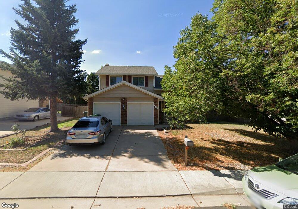
626 S Laredo Cir Aurora, CO 80017
Centre Pointe NeighborhoodEstimated Value: $467,000 - $529,000
About This Home
This home is located at 626 S Laredo Cir, Aurora, CO 80017 and is currently estimated at $499,260, approximately $257 per square foot. 626 S Laredo Cir is a home located in Arapahoe County with nearby schools including Tollgate Elementary School of Expeditionary Learning, Mrachek Middle School, and Gateway High School.
Ownership History
We collect this data history from publicly available records. To have your information removed, we recommend requesting removal directly through your county’s website.
Purchase Details
Home Financials for this Owner
Home Financials are based on the most recent Mortgage that was taken out on this home.Purchase Details
Home Financials for this Owner
Home Financials are based on the most recent Mortgage that was taken out on this home.Purchase Details
Home Financials for this Owner
Home Financials are based on the most recent Mortgage that was taken out on this home.Purchase Details
Home Financials for this Owner
Home Financials are based on the most recent Mortgage that was taken out on this home.Purchase Details
Purchase Details
Purchase Details
Home Values in the Area
Average Home Value in this Area
Purchase History
We collect this data history from publicly available records. To have your information removed, we recommend requesting removal directly through your county’s website.
| Date | Buyer | Sale Price | Title Company |
|---|---|---|---|
| $134,700 | North American Title | ||
| -- | -- | ||
| $129,900 | North American Title | ||
| $126,900 | Land Title | ||
| -- | -- | ||
| -- | -- | ||
| -- | -- |
Mortgage History
We collect this data history from publicly available records. To have your information removed, we recommend requesting removal directly through your county’s website.
| Date | Status | Borrower | Loan Amount |
|---|---|---|---|
| Open | $132,873 | ||
| Previous Owner | $122,597 | ||
| Previous Owner | $130,700 |
Tax History
We collect this data history from publicly available records. To have your information removed, we recommend requesting removal directly through your county’s website.
| Year | Tax Paid | Tax Assessment Tax Assessment Total Assessment is a certain percentage of the fair market value that is determined by local assessors to be the total taxable value of land and additions on the property. | Land | Improvement |
|---|---|---|---|---|
| 2026 | $3,404 | $30,979 | -- | -- |
| 2025 | $3,404 | $31,638 | -- | -- |
| 2024 | $3,131 | $33,688 | -- | -- |
| 2023 | $3,131 | $33,688 | $0 | $0 |
| 2022 | $2,506 | $24,958 | $0 | $0 |
| 2021 | $2,587 | $24,958 | $0 | $0 |
| 2020 | $2,451 | $23,538 | $0 | $0 |
| 2019 | $2,438 | $23,538 | $0 | $0 |
| 2018 | $2,189 | $20,700 | $0 | $0 |
| 2017 | $1,904 | $20,700 | $0 | $0 |
| 2016 | $1,585 | $16,867 | $0 | $0 |
| 2015 | $1,530 | $16,867 | $0 | $0 |
| 2014 | -- | $12,314 | $0 | $0 |
| 2013 | -- | $13,250 | $0 | $0 |
Map
- 15875 E Custer Dr
- 15808 E Exposition Dr
- 635 S Joplin St
- 878 S Kalispell Cir Unit 101
- 661 S Jasper St
- 881 S Memphis Way
- 891 S Memphis Way
- 491 S Kalispell Way Unit 305
- 591 S Mobile Place
- 619 S Norfolk Way
- 588 S Mobile Place
- 471 S Kalispell Way Unit 307
- 467 S Memphis Way Unit 17
- 16001 E Alaska Place Unit 7
- 16001 E Alaska Place Unit 1
- 16406 E Kentucky Ave
- 616 S Norfolk Way
- 1067 S Joplin Way
- 1024 S Mobile St
- 1069 S Lewiston Way
- 624 S Laredo Cir
- 628 S Kalispell Way
- 627 S Laredo Cir
- 638 S Kalispell Way
- 619 S Kittredge St
- 629 S Kittredge St
- 610 S Kalispell St
- 639 S Kittredge St
- 625 S Laredo Cir
- 600 S Kalispell St
- 621 S Laredo Cir
- 623 S Laredo Cir
- 658 S Kalispell Way
- 598 S Kalispell St
- 649 S Kittredge St
- 15843 E Exposition Dr
- 618 S Laredo Cir
- 619 S Kalispell St
- 630 S Kittredge St
- 615 S Laredo Cir
Ask me questions while you tour the home.