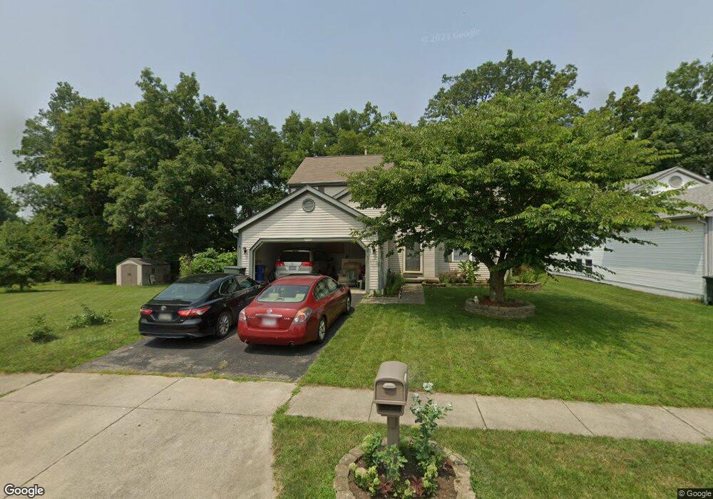
6280 Wrothston Dr Columbus, OH 43228
Wexford-Thornapple NeighborhoodEstimated Value: $352,000 - $384,450
About This Home
This home is located at 6280 Wrothston Dr, Columbus, OH 43228 and is currently estimated at $367,363, approximately $214 per square foot. 6280 Wrothston Dr is a home located in Franklin County with nearby schools including Alton Darby Elementary School, Hilliard Station Sixth Grade Elementary School, and Hilliard Memorial Middle School.
Ownership History
We collect this data history from publicly available records. To have your information removed, we recommend requesting removal directly through your county’s website.
Purchase Details
Purchase Details
Purchase Details
Home Financials for this Owner
Home Financials are based on the most recent Mortgage that was taken out on this home.Purchase Details
Purchase Details
Home Financials for this Owner
Home Financials are based on the most recent Mortgage that was taken out on this home.Home Values in the Area
Average Home Value in this Area
Purchase History
We collect this data history from publicly available records. To have your information removed, we recommend requesting removal directly through your county’s website.
| Date | Buyer | Sale Price | Title Company |
|---|---|---|---|
| -- | None Listed On Document | ||
| -- | Independent | ||
| $138,000 | Chicago Title | ||
| $142,500 | -- | ||
| $127,900 | -- |
Mortgage History
We collect this data history from publicly available records. To have your information removed, we recommend requesting removal directly through your county’s website.
| Date | Status | Borrower | Loan Amount |
|---|---|---|---|
| Previous Owner | $110,000 | ||
| Previous Owner | $77,900 |
Tax History
We collect this data history from publicly available records. To have your information removed, we recommend requesting removal directly through your county’s website.
| Year | Tax Paid | Tax Assessment Tax Assessment Total Assessment is a certain percentage of the fair market value that is determined by local assessors to be the total taxable value of land and additions on the property. | Land | Improvement |
|---|---|---|---|---|
| 2025 | $6,114 | $108,260 | $28,000 | $80,260 |
| 2024 | $6,114 | $108,260 | $28,000 | $80,260 |
| 2023 | $5,580 | $108,255 | $28,000 | $80,255 |
| 2022 | $5,010 | $77,560 | $16,800 | $60,760 |
| 2021 | $5,005 | $77,560 | $16,800 | $60,760 |
| 2020 | $4,993 | $77,560 | $16,800 | $60,760 |
| 2019 | $4,728 | $64,650 | $14,000 | $50,650 |
| 2018 | $4,304 | $64,650 | $14,000 | $50,650 |
| 2017 | $4,515 | $64,650 | $14,000 | $50,650 |
| 2016 | $4,269 | $54,260 | $16,770 | $37,490 |
| 2015 | $3,898 | $54,260 | $16,770 | $37,490 |
| 2014 | $3,905 | $54,260 | $16,770 | $37,490 |
| 2013 | $2,270 | $62,265 | $16,765 | $45,500 |
Map
- 6378 Youngland Dr
- 1386 Marinelli Dr E
- 1388 Marinelli Dr E
- 1390 Marinelli Dr E
- 1387 Marinelli Dr E
- 1395 Marinelli Dr E
- 1379 Brenthaven Place
- 6305 Marinelli Dr N
- 6288 Marinelli Dr N
- 6307 Marinelli Dr N
- 6290 Marinelli Dr N
- 1496 Raley Way
- 6109 Woodsboro Dr
- 6328 Ripken St
- 6334 Ripken St
- 1561 Boes Ct
- 6350 Ripken St
- 6310 Rickwood Trail
- 1471 Koppel Way
- 1361 Deerlick Dr
- 6288 Wrothston Dr
- 6272 Wrothston Dr
- 6264 Wrothston Dr
- 6270 Riverstone Dr
- 6279 Wrothston Dr
- 6279 Riverstone Dr
- 6256 Wrothston Dr
- 6286 Riverstone Dr
- 6265 Riverstone Dr
- 6248 Wrothston Dr
- 6273 Riverstone Dr
- 6294 Riverstone Dr
- 6281 Riverstone Dr
- 1307 Della Place
- 6240 Wrothston Dr
- 6289 Riverstone Dr
- 6300 Riverstone Dr
- 6308 Riverstone Dr
- 1295 Della Place
- 6316 Riverstone Dr
Ask me questions while you tour the home.