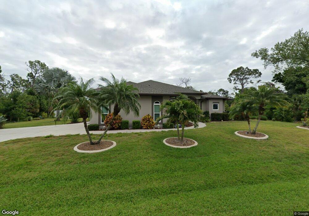
6286 Magee St Englewood, FL 34224
Englewood East NeighborhoodEstimated Value: $359,000 - $442,000
2
Beds
2
Baths
1,809
Sq Ft
$221/Sq Ft
Est. Value
About This Home
This home is located at 6286 Magee St, Englewood, FL 34224 and is currently estimated at $399,931, approximately $221 per square foot. 6286 Magee St is a home located in Charlotte County with nearby schools including Myakka River Elementary School, L.A. Ainger Middle School, and Lemon Bay High School.
Ownership History
Date
Name
Owned For
Owner Type
Purchase Details
Closed on
Sep 7, 2017
Sold by
Crane Arthur and Crane Rebecca
Bought by
Scheuering Robert F and Scheuering Tracy A
Current Estimated Value
Home Financials for this Owner
Home Financials are based on the most recent Mortgage that was taken out on this home.
Original Mortgage
$127,000
Outstanding Balance
$105,631
Interest Rate
3.93%
Mortgage Type
New Conventional
Estimated Equity
$294,300
Purchase Details
Closed on
May 30, 2003
Sold by
Young Marilyn E
Bought by
Crane Arthur and Crane Rebecca
Create a Home Valuation Report for This Property
The Home Valuation Report is an in-depth analysis detailing your home's value as well as a comparison with similar homes in the area
Home Values in the Area
Average Home Value in this Area
Purchase History
| Date | Buyer | Sale Price | Title Company |
|---|---|---|---|
| Scheuering Robert F | $227,000 | Integrity Title Services Inc | |
| Crane Arthur | $2,000 | -- | |
| Crane Arthur | $2,000 | -- |
Source: Public Records
Mortgage History
| Date | Status | Borrower | Loan Amount |
|---|---|---|---|
| Open | Scheuering Robert F | $127,000 |
Source: Public Records
Tax History
| Year | Tax Paid | Tax Assessment Tax Assessment Total Assessment is a certain percentage of the fair market value that is determined by local assessors to be the total taxable value of land and additions on the property. | Land | Improvement |
|---|---|---|---|---|
| 2025 | $4,180 | $266,957 | -- | -- |
| 2023 | $4,163 | $251,877 | $0 | $0 |
| 2022 | $4,018 | $244,541 | $0 | $0 |
| 2021 | $4,008 | $237,418 | $0 | $0 |
| 2020 | $3,876 | $234,140 | $0 | $0 |
| 2019 | $3,762 | $228,876 | $0 | $0 |
| 2018 | $2,873 | $190,421 | $13,603 | $176,818 |
| 2017 | $1,903 | $129,648 | $0 | $0 |
| 2016 | $1,888 | $126,981 | $0 | $0 |
| 2015 | $1,873 | $126,098 | $0 | $0 |
| 2014 | $1,860 | $125,097 | $0 | $0 |
Source: Public Records
Map
Nearby Homes
- 6285 Marcum St
- 6269 Marcum St
- 6278 Marcum St
- 9314 Lucian Ave
- 6160 Pennell St
- 6304 Pennell St
- 6311 Pennell St
- 6168 Pennell St
- 6320 Pennell St
- 9491 Tacoma Ave
- 3441 S Access Rd
- 6270 Spinnaker Blvd
- 6165 & 6173 Blackberry St
- 6254 Spinnaker Blvd
- 9405 Loyola Ave
- 9366 Loyola Ave
- 6343 Brookridge St
- 6312 Brookridge St
- 6264 Brookridge St
- 6359 Brookridge St
Your Personal Tour Guide
Ask me questions while you tour the home.