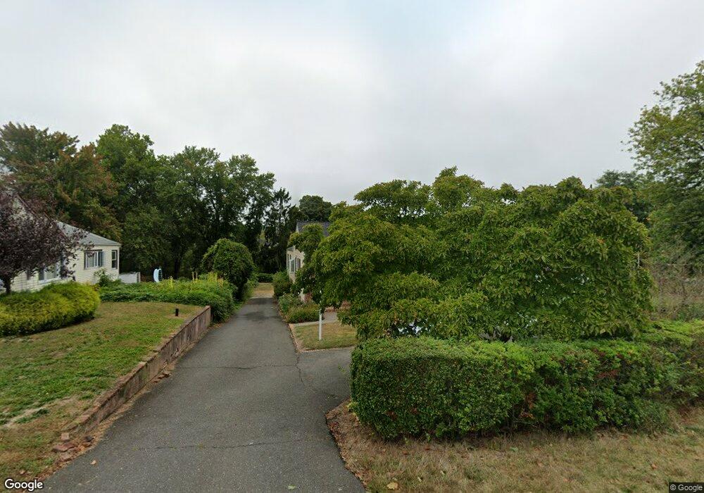
629 Locust Point Rd Rumson, NJ 07760
Estimated Value: $706,000 - $1,312,000
3
Beds
2
Baths
1,485
Sq Ft
$640/Sq Ft
Est. Value
About This Home
This home is located at 629 Locust Point Rd, Rumson, NJ 07760 and is currently estimated at $950,857, approximately $640 per square foot. 629 Locust Point Rd is a home located in Monmouth County with nearby schools including Navesink Elementary School, Bayshore Middle School, and Middletown - South High School.
Ownership History
Date
Name
Owned For
Owner Type
Purchase Details
Closed on
Oct 28, 1991
Bought by
Anderson Paul and Anderson Elizabeth S
Current Estimated Value
Create a Home Valuation Report for This Property
The Home Valuation Report is an in-depth analysis detailing your home's value as well as a comparison with similar homes in the area
Home Values in the Area
Average Home Value in this Area
Purchase History
| Date | Buyer | Sale Price | Title Company |
|---|---|---|---|
| Anderson Paul | -- | -- |
Source: Public Records
Tax History
| Year | Tax Paid | Tax Assessment Tax Assessment Total Assessment is a certain percentage of the fair market value that is determined by local assessors to be the total taxable value of land and additions on the property. | Land | Improvement |
|---|---|---|---|---|
| 2025 | $9,757 | $740,400 | $511,000 | $229,400 |
| 2024 | $9,455 | $593,100 | $367,900 | $225,200 |
| 2023 | $9,455 | $544,000 | $304,800 | $239,200 |
| 2022 | $7,924 | $418,200 | $190,500 | $227,700 |
| 2021 | $7,924 | $393,000 | $190,500 | $202,500 |
| 2020 | $8,148 | $381,100 | $183,100 | $198,000 |
| 2019 | $8,023 | $379,900 | $183,100 | $196,800 |
| 2018 | $8,692 | $401,100 | $213,400 | $187,700 |
| 2017 | $9,559 | $436,700 | $213,400 | $223,300 |
| 2016 | $8,899 | $417,600 | $199,900 | $217,700 |
| 2015 | $8,887 | $414,000 | $199,900 | $214,100 |
| 2014 | $8,191 | $373,000 | $177,400 | $195,600 |
Source: Public Records
Map
Nearby Homes
- 22 Meadowbrook Ave
- 531 Locust Point Rd
- 96 East Ave Unit 82
- 26 King James Ln
- 171 Grand Ave
- 9 King James Ln
- 96 E East Ave Unit 37
- 498 Central Ave
- 502 Central Ave
- 500 Central Ave
- 7100 Prospect Ave
- 6998 Prospect Ave
- 114 Memorial Pkwy
- 1 Central Ave Unit 8
- 241 Monmouth Ave
- 50 Memorial Pkwy
- 254 1st Ave
- 48 Starr Ct
- 104 E Washington Ave
- 119 Chestnut Ave
- 633 Locust Point Rd
- 625 Locust Point Rd
- 621 Locust Point Rd
- 637 Locust Point Rd
- 634 Locust Point Rd
- 628 Locust Point Rd
- 617 Locust Point Rd
- 641 Locust Point Rd
- 638 Locust Point Rd
- 613 Locust Point Rd
- 642 Locust Point Rd
- 645 Locust Point Rd
- 609 Locust Point Rd
- 7 Trovillo Ct
- 650 Locust Point Rd
- 1 Trovillo Ct
- 649 Locust Point Rd
- 9 Trovillo Ct
- 35 Latham Ave
- 605 Locust Point Rd
Your Personal Tour Guide
Ask me questions while you tour the home.