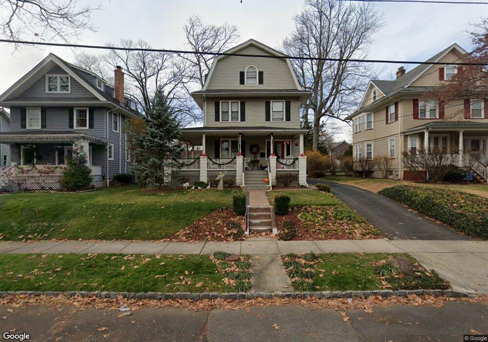
629 Maple St Westfield, NJ 07090
Estimated Value: $1,110,000 - $1,511,000
About This Home
This home is located at 629 Maple St, Westfield, NJ 07090 and is currently estimated at $1,281,078, approximately $605 per square foot. 629 Maple St is a home located in Union County with nearby schools including Wilson Elementary School, Roosevelt Intermediate School, and Westfield Senior High School.
Ownership History
We collect this data history from publicly available records. To have your information removed, we recommend requesting removal directly through your county’s website.
Purchase Details
Home Financials for this Owner
Home Financials are based on the most recent Mortgage that was taken out on this home.Home Values in the Area
Average Home Value in this Area
Purchase History
We collect this data history from publicly available records. To have your information removed, we recommend requesting removal directly through your county’s website.
| Date | Buyer | Sale Price | Title Company |
|---|---|---|---|
| $580,000 | Commonwealth Land Title Insu |
Mortgage History
We collect this data history from publicly available records. To have your information removed, we recommend requesting removal directly through your county’s website.
| Date | Status | Borrower | Loan Amount |
|---|---|---|---|
| Open | $464,000 |
Tax History
We collect this data history from publicly available records. To have your information removed, we recommend requesting removal directly through your county’s website.
| Year | Tax Paid | Tax Assessment Tax Assessment Total Assessment is a certain percentage of the fair market value that is determined by local assessors to be the total taxable value of land and additions on the property. | Land | Improvement |
|---|---|---|---|---|
| 2025 | $14,920 | $662,500 | $470,600 | $191,900 |
| 2024 | $14,615 | $662,500 | $470,600 | $191,900 |
| 2023 | $14,615 | $662,500 | $470,600 | $191,900 |
| 2022 | $14,310 | $662,500 | $470,600 | $191,900 |
| 2021 | $14,330 | $662,500 | $470,600 | $191,900 |
| 2020 | $14,297 | $662,500 | $470,600 | $191,900 |
| 2019 | $14,244 | $662,500 | $470,600 | $191,900 |
| 2018 | $12,244 | $131,700 | $64,800 | $66,900 |
| 2017 | $12,177 | $131,700 | $64,800 | $66,900 |
| 2016 | $11,891 | $131,700 | $64,800 | $66,900 |
| 2015 | $11,654 | $131,700 | $64,800 | $66,900 |
| 2014 | $11,270 | $131,700 | $64,800 | $66,900 |
Map
- 559 Parkview Ave
- 509 Bradford Ave
- 706 Mountain Ave
- 714 E Broad St
- 112 Jefferson Ave
- 564 Highland Ave
- 260 Walnut St Unit 10
- 244 Walnut St
- 424 Colonial Ave
- 532 Kimball Turn
- 200 Wychwood Rd
- 220 Wychwood Rd
- 220 S Euclid Ave
- 617 Lawrence Ave
- 629 Tremont Ave
- 820 E Broad St
- 587 Woodland Ave
- 537 Wychwood Rd
- 590 Woodland Ave
- 734 Woodland Ave
Ask me questions while you tour the home.