6290 Barr Beach Rd Freeland, WA 98249
Estimated Value: $1,864,073 - $2,053,000
3
Beds
3
Baths
2,135
Sq Ft
$908/Sq Ft
Est. Value
About This Home
This home is located at 6290 Barr Beach Rd, Freeland, WA 98249 and is currently estimated at $1,938,768, approximately $908 per square foot. 6290 Barr Beach Rd is a home located in Island County with nearby schools including South Whidbey Elementary School, South Whidbey Middle School, and South Whidbey High School.
Ownership History
Date
Name
Owned For
Owner Type
Purchase Details
Closed on
Dec 20, 2012
Sold by
Amato Frank and Amato Susan
Bought by
Barrs Nest Llc
Current Estimated Value
Purchase Details
Closed on
May 23, 2009
Sold by
Richards Nancy Toland and Lile Catherine
Bought by
Amato Frank and Amato Susan
Home Financials for this Owner
Home Financials are based on the most recent Mortgage that was taken out on this home.
Original Mortgage
$417,000
Interest Rate
4.8%
Mortgage Type
Purchase Money Mortgage
Create a Home Valuation Report for This Property
The Home Valuation Report is an in-depth analysis detailing your home's value as well as a comparison with similar homes in the area
Home Values in the Area
Average Home Value in this Area
Purchase History
| Date | Buyer | Sale Price | Title Company |
|---|---|---|---|
| Barrs Nest Llc | -- | None Available | |
| Amato Frank | $1,078,257 | Stewart South Island Escorw |
Source: Public Records
Mortgage History
| Date | Status | Borrower | Loan Amount |
|---|---|---|---|
| Previous Owner | Amato Frank | $417,000 |
Source: Public Records
Tax History
| Year | Tax Paid | Tax Assessment Tax Assessment Total Assessment is a certain percentage of the fair market value that is determined by local assessors to be the total taxable value of land and additions on the property. | Land | Improvement |
|---|---|---|---|---|
| 2025 | $10,240 | $1,622,635 | $1,300,550 | $322,085 |
| 2024 | $9,349 | $1,433,975 | $1,100,550 | $333,425 |
| 2023 | $9,349 | $1,438,237 | $1,100,550 | $337,687 |
| 2022 | $8,471 | $1,360,188 | $1,050,550 | $309,638 |
| 2021 | $7,305 | $1,073,167 | $800,550 | $272,617 |
| 2020 | $6,853 | $942,029 | $675,550 | $266,479 |
| 2019 | $6,705 | $907,396 | $725,550 | $181,846 |
| 2018 | $7,244 | $883,019 | $700,550 | $182,469 |
| 2017 | $6,621 | $884,186 | $700,550 | $183,636 |
| 2016 | $6,853 | $886,665 | $700,550 | $186,115 |
| 2015 | -- | $889,149 | $700,550 | $188,599 |
| 2013 | -- | $962,545 | $773,946 | $188,599 |
Source: Public Records
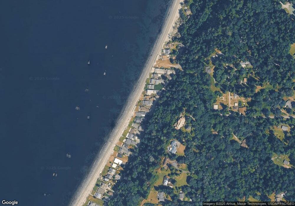
Map
Nearby Homes
- 6321 Baywood Rd
- 6436 Ebb Tide Ln
- 5938 Sundown Ln
- 5947 Sundown Ln
- 0 Shore Ave Unit NWM2476623
- 5848 Mutiny Bay Rd
- 5844 Mutiny Bay Rd
- 5844 & 5848 Mutiny Bay Rd
- 1503 Sockeye Ln
- 1516 Garden Ln
- 5707 Woodard Ave
- 1943 Shore Ave
- 5633 Morningtown Place
- 5608 Tara Dr
- 0 Xxx Mutiny Bay Rd Unit NWM2465285
- 5493 Woodard Ave
- 5591 S Harbor Ave
- 3 Dutch Hollow Dr
- 8 Dutch Hollow Dr
- 6 Dutch Hollow Dr
- 6288 Barr Beach Rd
- 6294 Barr Beach Rd
- 6286 Barr Beach Rd
- 6298 Barr Beach Rd
- 6302 Bay Rd
- 6282 Barr Beach Rd
- 6308 Bay Rd
- 6274 Barr Beach Rd
- 6314 Bay Rd
- 6316 Bay Rd
- 6272 Barr Beach Rd
- 6306 Apple Ln
- 6320 Bay Rd
- 6324 Bay Rd
- 6258 Barr Beach Rd
- 6318 Apple Ln
- 6326 Bay Rd
- 6256 Barr Beach Rd
- 6330 Bay Rd
- 6252 Barr Beach Rd
Your Personal Tour Guide
Ask me questions while you tour the home.