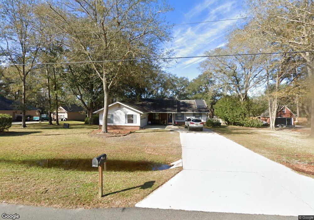
6298 Michele Rd MacClenny, FL 32063
Estimated Value: $351,000 - $440,000
5
Beds
3
Baths
2,238
Sq Ft
$177/Sq Ft
Est. Value
About This Home
This home is located at 6298 Michele Rd, MacClenny, FL 32063 and is currently estimated at $397,181, approximately $177 per square foot. 6298 Michele Rd is a home located in Baker County with nearby schools including Keller Intermediate School, MacClenny Elementary School, and Baker County Middle School.
Ownership History
Date
Name
Owned For
Owner Type
Purchase Details
Closed on
Aug 6, 2003
Sold by
Prudential Relocation Inc
Bought by
Outcalt Kenneth W and Outcalt Patricia A
Current Estimated Value
Home Financials for this Owner
Home Financials are based on the most recent Mortgage that was taken out on this home.
Original Mortgage
$68,000
Interest Rate
5.94%
Mortgage Type
Purchase Money Mortgage
Purchase Details
Closed on
Mar 22, 2003
Sold by
Williams Michael W and Williams Linda K
Bought by
Prudential Relocation Inc
Create a Home Valuation Report for This Property
The Home Valuation Report is an in-depth analysis detailing your home's value as well as a comparison with similar homes in the area
Home Values in the Area
Average Home Value in this Area
Purchase History
| Date | Buyer | Sale Price | Title Company |
|---|---|---|---|
| Outcalt Kenneth W | $148,000 | Homeside Title Inc | |
| Prudential Relocation Inc | $148,000 | -- |
Source: Public Records
Mortgage History
| Date | Status | Borrower | Loan Amount |
|---|---|---|---|
| Closed | Outcalt Kenneth W | $68,000 |
Source: Public Records
Tax History
| Year | Tax Paid | Tax Assessment Tax Assessment Total Assessment is a certain percentage of the fair market value that is determined by local assessors to be the total taxable value of land and additions on the property. | Land | Improvement |
|---|---|---|---|---|
| 2025 | $4,310 | $293,913 | -- | -- |
| 2024 | $4,028 | $267,194 | -- | -- |
| 2023 | $3,841 | $242,904 | $0 | $0 |
| 2022 | $3,597 | $220,822 | $0 | $0 |
| 2021 | $3,045 | $200,747 | $41,850 | $158,897 |
| 2020 | $2,961 | $192,792 | $0 | $0 |
| 2019 | $2,746 | $176,754 | $41,850 | $134,904 |
| 2018 | $2,693 | $171,125 | $0 | $0 |
| 2017 | $2,609 | $166,881 | $0 | $0 |
| 2016 | $2,604 | $162,583 | $0 | $0 |
| 2015 | $2,579 | $156,993 | $0 | $0 |
| 2014 | $2,580 | $155,379 | $0 | $0 |
Source: Public Records
Map
Nearby Homes
- 6121 Michele Rd
- 1168 Copper Gate Place
- 574 Independence Dr
- 570 Independence Dr
- 768 Constitution Place
- 906 Jacqueline Cir
- 551 Heritage Crossing
- 369 Owen Acres Dr
- 6116 Copper Dr
- 724 Liberty Cir
- 6120 Copper Dr
- 6110 Sands Pointe Dr
- 5980 Sands Pointe Dr
- 724 Miltondale Rd
- 406 Barbara Cir
- 11976 Bent Ct
- 12045 Sands Pointe Ct
- 10413 Greystone Dr
- 10407 Greystone Dr
- 10399 Greystone Dr
- 6298 Michelle
- 6264 Michele Rd
- 6328 Michele Rd
- 6179 Wells Rd
- 6246 Michele Rd
- 6246 Michele Rd
- 6188 Wells Rd
- 6274 Burnsed Ln
- 6333 Michele Rd
- 6249 Michele Rd
- 6294 Burnsed Ln
- 11236 Kristen Rd
- 6228 Michele Rd
- 11262 Kristen Rd
- 6193 Michele Rd
- 6166 Wells Rd
- 6216 Michele Rd
- 6269 Burnsed Ln
- 6163 Michele Rd
- 6163 Michelle
Your Personal Tour Guide
Ask me questions while you tour the home.