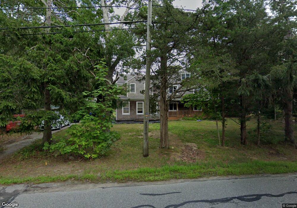
63 Depot Rd Bourne, MA 2532
Cataumet NeighborhoodEstimated Value: $775,000 - $972,000
4
Beds
2
Baths
2,876
Sq Ft
$306/Sq Ft
Est. Value
About This Home
This home is located at 63 Depot Rd, Bourne, MA 2532 and is currently estimated at $879,667, approximately $305 per square foot. 63 Depot Rd is a home located in Barnstable County with nearby schools including Bourne High School, Cadence Academy Preschool - Bourne, and Heritage Christian Academy.
Create a Home Valuation Report for This Property
The Home Valuation Report is an in-depth analysis detailing your home's value as well as a comparison with similar homes in the area
Home Values in the Area
Average Home Value in this Area
Tax History
We collect this data history from publicly available records. To have your information removed, we recommend requesting removal directly through your county’s website.
| Year | Tax Paid | Tax Assessment Tax Assessment Total Assessment is a certain percentage of the fair market value that is determined by local assessors to be the total taxable value of land and additions on the property. | Land | Improvement |
|---|---|---|---|---|
| 2025 | $5,715 | $731,800 | $244,000 | $487,800 |
| 2024 | $5,588 | $696,700 | $232,300 | $464,400 |
| 2023 | $5,437 | $617,100 | $205,600 | $411,500 |
| 2022 | $5,509 | $546,000 | $218,400 | $327,600 |
| 2021 | $5,359 | $497,600 | $198,700 | $298,900 |
| 2020 | $5,359 | $499,000 | $196,800 | $302,200 |
| 2019 | $5,070 | $482,400 | $196,800 | $285,600 |
| 2018 | $4,846 | $459,800 | $187,500 | $272,300 |
| 2017 | $4,753 | $461,500 | $191,900 | $269,600 |
| 2016 | $4,628 | $455,500 | $191,900 | $263,600 |
| 2015 | $4,462 | $443,100 | $179,500 | $263,600 |
Source: Public Records
Map
Nearby Homes
- 105 Scraggy Neck Rd
- 9 Scraggy Neck Road Extension
- 3 Tattler Cir
- 3 Willett Cir
- 48 Red Brook Harbor Rd
- 22 Nairn Rd
- 233 Scraggy Neck Rd
- 75 Winsor Rd
- 52 Club House Dr
- 679 N Falmouth Hwy
- 138 County Rd
- 66 Frederick b Douglas Rd
- 52 Circuit Ave
- 4 Quail Hill Rd
- 23 Club House Dr
- 60 Wamsutta Ave
- 5 Summerwind Ln
- 28 Nathan Ellis Hwy
- 2 Boulder Rd
- 27 Bellavista Dr
Your Personal Tour Guide
Ask me questions while you tour the home.