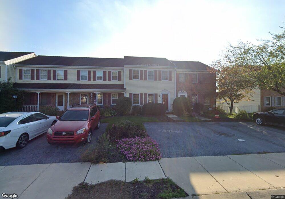
63 Laurie Ln Lititz, PA 17543
Estimated Value: $235,005 - $265,000
3
Beds
2
Baths
1,200
Sq Ft
$210/Sq Ft
Est. Value
About This Home
This home is located at 63 Laurie Ln, Lititz, PA 17543 and is currently estimated at $252,251, approximately $210 per square foot. 63 Laurie Ln is a home located in Lancaster County with nearby schools including Warwick Senior High School, Lititz Christian School, and Linden Hall.
Ownership History
Date
Name
Owned For
Owner Type
Purchase Details
Closed on
Mar 30, 1999
Sold by
Talbott Thomas E
Bought by
Ginder Mark A
Current Estimated Value
Home Financials for this Owner
Home Financials are based on the most recent Mortgage that was taken out on this home.
Original Mortgage
$82,413
Outstanding Balance
$16,984
Interest Rate
6.78%
Mortgage Type
FHA
Estimated Equity
$235,267
Create a Home Valuation Report for This Property
The Home Valuation Report is an in-depth analysis detailing your home's value as well as a comparison with similar homes in the area
Home Values in the Area
Average Home Value in this Area
Purchase History
We collect this data history from publicly available records. To have your information removed, we recommend requesting removal directly through your county’s website.
| Date | Buyer | Sale Price | Title Company |
|---|---|---|---|
| Ginder Mark A | $82,500 | -- |
Source: Public Records
Mortgage History
We collect this data history from publicly available records. To have your information removed, we recommend requesting removal directly through your county’s website.
| Date | Status | Borrower | Loan Amount |
|---|---|---|---|
| Open | Ginder Mark A | $82,413 |
Source: Public Records
Tax History
| Year | Tax Paid | Tax Assessment Tax Assessment Total Assessment is a certain percentage of the fair market value that is determined by local assessors to be the total taxable value of land and additions on the property. | Land | Improvement |
|---|---|---|---|---|
| 2026 | $2,661 | $134,900 | $39,800 | $95,100 |
| 2025 | $2,645 | $134,900 | $39,800 | $95,100 |
| 2024 | $2,645 | $134,900 | $39,800 | $95,100 |
| 2023 | $2,633 | $134,900 | $39,800 | $95,100 |
| 2022 | $2,633 | $134,900 | $39,800 | $95,100 |
| 2021 | $2,633 | $134,900 | $39,800 | $95,100 |
| 2020 | $2,633 | $134,900 | $39,800 | $95,100 |
| 2019 | $2,633 | $134,900 | $39,800 | $95,100 |
| 2018 | $2,094 | $134,900 | $39,800 | $95,100 |
| 2017 | $2,332 | $94,200 | $26,600 | $67,600 |
| 2016 | $2,332 | $94,200 | $26,600 | $67,600 |
| 2015 | $378 | $94,200 | $26,600 | $67,600 |
| 2014 | $1,742 | $94,200 | $26,600 | $67,600 |
Source: Public Records
Map
Nearby Homes
- 61 Brookfield Rd
- 305 Partridge Dr
- 433 Springfield Ct
- 213 Skylark Rd
- 113 Cameron Ln
- LOT 14 Thaton Rd
- LOT 12 Thaton Rd
- 333 Cameron Ln Unit NOTTINGHAM
- 333 Cameron Ln Unit HAWTHORNE
- 333 Cameron Ln Unit DEVONSHIRE
- 333 Cameron Ln Unit SEBASTIAN
- 333 Cameron Ln Unit SAVANNAH
- 115 Saybrooke Dr
- 122 S Cedar St
- 601 E Main St
- 135 S Cedar St
- 34 S Oak St
- 106 E 2nd Ave
- 102 E Third Ave
- 12 Pebble Creek Dr
Your Personal Tour Guide
Ask me questions while you tour the home.