6301 Harvest St Springfield, OH 45502
Estimated Value: $308,000 - $385,000
About This Home
This home is located at 6301 Harvest St, Springfield, OH 45502 and is currently estimated at $341,155, approximately $180 per square foot. 6301 Harvest St is a home located in Clark County with nearby schools including Northridge Elementary School and Kenton Ridge Middle & High School.
Ownership History
We collect this data history from publicly available records. To have your information removed, we recommend requesting removal directly through your county’s website.
Purchase Details
Purchase Details
Purchase Details
Home Values in the Area
Average Home Value in this Area
Purchase History
We collect this data history from publicly available records. To have your information removed, we recommend requesting removal directly through your county’s website.
| Date | Buyer | Sale Price | Title Company |
|---|---|---|---|
| -- | None Listed On Document | ||
| -- | -- | ||
| $13,000 | -- |
Tax History
We collect this data history from publicly available records. To have your information removed, we recommend requesting removal directly through your county’s website.
| Year | Tax Paid | Tax Assessment Tax Assessment Total Assessment is a certain percentage of the fair market value that is determined by local assessors to be the total taxable value of land and additions on the property. | Land | Improvement |
|---|---|---|---|---|
| 2025 | $3,150 | $101,540 | $14,530 | $87,010 |
| 2024 | $3,073 | $81,840 | $11,260 | $70,580 |
| 2023 | $3,073 | $81,840 | $11,260 | $70,580 |
| 2022 | $3,102 | $81,840 | $11,260 | $70,580 |
| 2021 | $2,675 | $62,170 | $8,040 | $54,130 |
| 2020 | $2,678 | $62,170 | $8,040 | $54,130 |
| 2019 | $2,729 | $62,170 | $8,040 | $54,130 |
| 2018 | $2,603 | $57,650 | $13,350 | $44,300 |
| 2017 | $2,231 | $56,963 | $13,346 | $43,617 |
| 2016 | $2,216 | $56,963 | $13,346 | $43,617 |
| 2015 | $2,180 | $54,408 | $12,835 | $41,573 |
| 2014 | $2,180 | $54,408 | $12,835 | $41,573 |
| 2013 | $2,129 | $54,408 | $12,835 | $41,573 |
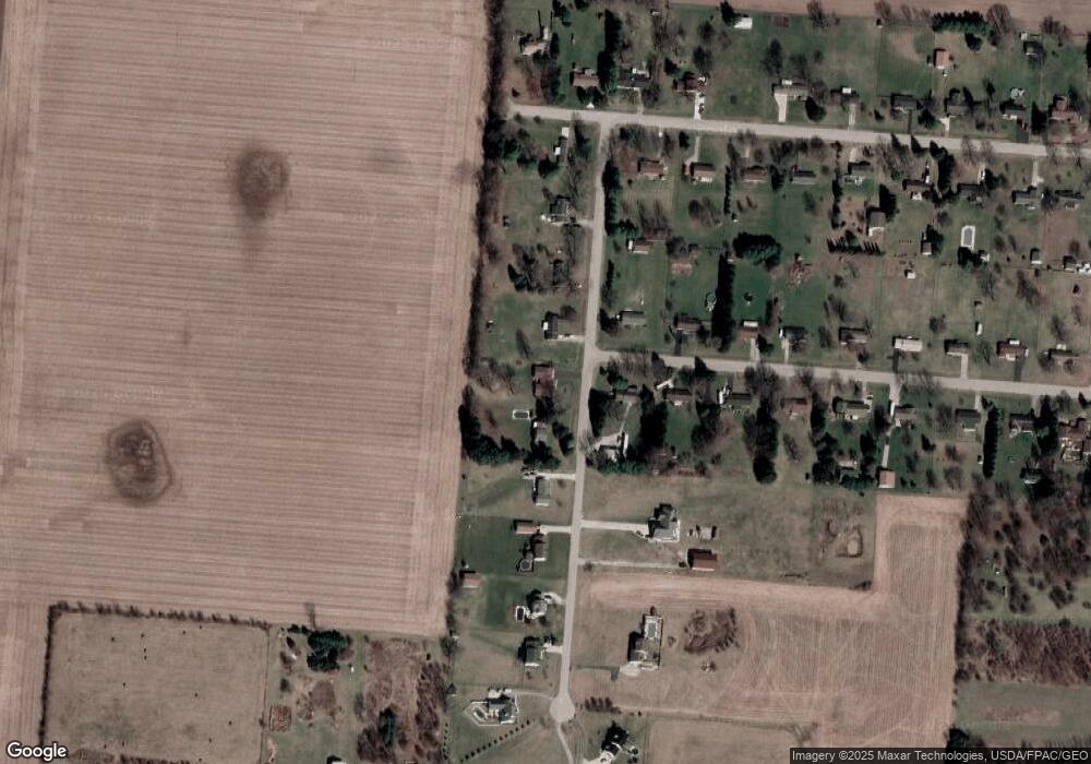
Map
- 5844 Morris Rd
- 3984 Morningside Cir
- 1992 Willoughby Ave
- 4401 Mumper Rd
- 1524 New Castle Ln
- 6055 Prairie Rd
- 4931 Bosart Rd
- 5235 Middle Urbana Rd
- 1703 Fox Ridge Dr E Unit 50
- 6407 Floyd Dr
- 5195 Burton Dr
- 4936 Brannan Dr E Unit 4936
- 1473 Knight Rd
- 4917 Auston St
- 5831 Ridgewood Rd W
- 937 Willow Rd
- 4954 E County Line Rd
- 4816 Middle Urbana Rd
- 4709 Chippendale Dr
- 4818 Cornell St
- 6327 Harvest St
- 6359 Harvest St
- 3080 Tamarack Ave
- 6277 Harvest St
- 6385 Harvest St
- 3081 Tamarack Ave
- 3104 Tamarack Ave
- 3105 Tamarack Ave
- 6253 Harvest St
- 6419 Harvest St
- 3077 Sandalwood Ave
- 3109 Sandalwood Ave
- 3132 Tamarack Ave
- 3137 Tamarack Ave
- 6229 Harvest St
- 6242 Harvest St
- 3040 Sandalwood Ave
- 3129 Sandalwood Ave
- 3072 Sandalwood Ave
- 3160 Tamarack Ave
Ask me questions while you tour the home.