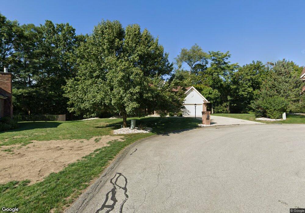
6307 Doe Cir Trafford, PA 15085
Estimated Value: $186,710 - $631,000
About This Home
This home is located at 6307 Doe Cir, Trafford, PA 15085 and is currently estimated at $403,428, approximately $352 per square foot. 6307 Doe Cir is a home located in Westmoreland County with nearby schools including Penn Trafford High School.
Ownership History
We collect this data history from publicly available records. To have your information removed, we recommend requesting removal directly through your county’s website.
Purchase Details
Home Financials for this Owner
Home Financials are based on the most recent Mortgage that was taken out on this home.Home Values in the Area
Average Home Value in this Area
Purchase History
We collect this data history from publicly available records. To have your information removed, we recommend requesting removal directly through your county’s website.
| Date | Buyer | Sale Price | Title Company |
|---|---|---|---|
| $330,000 | None Available |
Mortgage History
We collect this data history from publicly available records. To have your information removed, we recommend requesting removal directly through your county’s website.
| Date | Status | Borrower | Loan Amount |
|---|---|---|---|
| Open | $100,000 |
Tax History
We collect this data history from publicly available records. To have your information removed, we recommend requesting removal directly through your county’s website.
| Year | Tax Paid | Tax Assessment Tax Assessment Total Assessment is a certain percentage of the fair market value that is determined by local assessors to be the total taxable value of land and additions on the property. | Land | Improvement |
|---|---|---|---|---|
| 2026 | $5,835 | $41,400 | $2,940 | $38,460 |
| 2025 | $5,669 | $41,400 | $2,940 | $38,460 |
| 2024 | $5,628 | $41,400 | $2,940 | $38,460 |
| 2023 | $5,338 | $41,400 | $2,940 | $38,460 |
| 2022 | $5,276 | $41,400 | $2,940 | $38,460 |
| 2021 | $5,235 | $41,400 | $2,940 | $38,460 |
| 2020 | $5,193 | $41,400 | $2,940 | $38,460 |
| 2019 | $5,069 | $41,400 | $2,940 | $38,460 |
| 2018 | $4,924 | $41,400 | $2,940 | $38,460 |
| 2017 | $4,800 | $41,400 | $2,940 | $38,460 |
| 2016 | $4,659 | $41,400 | $2,940 | $38,460 |
| 2015 | $4,659 | $41,400 | $2,940 | $38,460 |
| 2014 | $4,576 | $41,400 | $2,940 | $38,460 |
Map
- 6187 Baker School Rd
- 1004 Christina Ct
- 92 Stella Dr
- 708 State Route 130
- 301 Pine Hollow Rd
- 103 Autumn Dr
- 106 Daums Ln
- 670 Meadowbrook Rd
- 602 State Route 130
- 314 Murrysville Rd
- 130 Mcdermott Rd
- 2220 Pleasant Valley Rd
- TBD State Rd 130
- 132 Twin Oaks Ln
- 107 Jeanine Ct
- 148 Belleau Wood Blvd
- 3132 Baker School Rd
- 308 Shadow Wood Ct
- 210 Timber Dr
- 7 Hawthorne Ln
- 6305 Doe Cir
- 6308 Doe Cir
- 6510 Ten Point Cir
- 6303 Doe Cir
- 6508 Ten Point Cir
- 6526 Ten Point Cir
- 6304 Doe Cir
- 6522 Ten Point Cir
- 6512 Ten Point Cir
- 6306 Doe Cir
- 6514 Ten Point Cir
- 10 Point Cir
- 6528 Ten Point Cir
- 6518 Ten Point Cir
- 6301 Doe Cir
- 6506 Ten Point Cir
- 6530 Ten Point Cir
- 6302 Doe Cir
- 6532 Ten Point Cir
- 6222 Antler Hill Dr
Ask me questions while you tour the home.