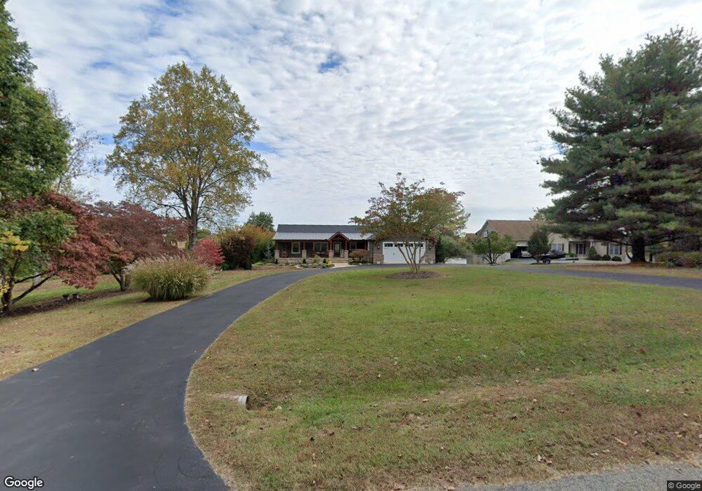
6309 Bobs Rd Mineral, VA 23117
Estimated Value: $796,000 - $1,026,000
4
Beds
3
Baths
1,480
Sq Ft
$627/Sq Ft
Est. Value
About This Home
This home is located at 6309 Bobs Rd, Mineral, VA 23117 and is currently estimated at $928,684, approximately $627 per square foot. 6309 Bobs Rd is a home located in Spotsylvania County with nearby schools including Livingston Elementary School, Post Oak Middle School, and Spotsylvania High School.
Ownership History
Date
Name
Owned For
Owner Type
Purchase Details
Closed on
Jul 20, 2005
Sold by
Pope Craig A
Bought by
Weatherholtz Troy D
Current Estimated Value
Home Financials for this Owner
Home Financials are based on the most recent Mortgage that was taken out on this home.
Original Mortgage
$150,000
Outstanding Balance
$78,352
Interest Rate
5.67%
Mortgage Type
New Conventional
Estimated Equity
$850,332
Create a Home Valuation Report for This Property
The Home Valuation Report is an in-depth analysis detailing your home's value as well as a comparison with similar homes in the area
Home Values in the Area
Average Home Value in this Area
Purchase History
| Date | Buyer | Sale Price | Title Company |
|---|---|---|---|
| Weatherholtz Troy D | $680,000 | -- |
Source: Public Records
Mortgage History
| Date | Status | Borrower | Loan Amount |
|---|---|---|---|
| Open | Weatherholtz Troy D | $150,000 |
Source: Public Records
Tax History
| Year | Tax Paid | Tax Assessment Tax Assessment Total Assessment is a certain percentage of the fair market value that is determined by local assessors to be the total taxable value of land and additions on the property. | Land | Improvement |
|---|---|---|---|---|
| 2025 | $5,490 | $747,600 | $285,000 | $462,600 |
| 2024 | $5,490 | $747,600 | $285,000 | $462,600 |
| 2023 | $5,541 | $718,000 | $261,300 | $456,700 |
| 2022 | $5,297 | $718,000 | $261,300 | $456,700 |
| 2021 | $4,533 | $560,100 | $237,500 | $322,600 |
| 2020 | $4,533 | $560,100 | $237,500 | $322,600 |
| 2019 | $4,612 | $544,300 | $237,500 | $306,800 |
| 2018 | $4,534 | $544,300 | $237,500 | $306,800 |
| 2017 | $4,498 | $529,200 | $237,500 | $291,700 |
| 2016 | $4,498 | $529,200 | $237,500 | $291,700 |
Source: Public Records
Map
Nearby Homes
- 6227 Eds Rd
- 6302 Belmont Rd
- 6206 Eds Rd
- 15408 Sunset Harbour Blvd
- 6121 Belmont Rd
- 6215 Connie Ln
- 15507 Heth Dr
- 15506 Heth Dr
- 6112 Eds Rd
- 15101 Plentiful Ln
- 0 Water View Ln
- 6608 Water View Ln
- 6028 Lost Cove Dr
- 6604 Morning Dew Dr
- 6207 Ruth Ln
- 6711 Morning Dew Dr
- 6713 Sunrise Bay Dr
- 6610 Dock Luck Ln
- 14814 Childs Cove Dr
- 6014 Stubbs Bridge Rd
Your Personal Tour Guide
Ask me questions while you tour the home.