6314 Old West Point Rd Lagrange, GA 30240
Estimated Value: $283,000 - $577,000
3
Beds
1
Bath
1,800
Sq Ft
$246/Sq Ft
Est. Value
About This Home
This home is located at 6314 Old West Point Rd, Lagrange, GA 30240 and is currently estimated at $442,607, approximately $245 per square foot. 6314 Old West Point Rd is a home located in Troup County with nearby schools including Long Cane Elementary School, Berta Weathersbee Elementary School, and Whitesville Road Elementary School.
Ownership History
Date
Name
Owned For
Owner Type
Purchase Details
Closed on
Dec 22, 2017
Sold by
Levens Walton D
Bought by
Redmond Charles S and Redmond Dawn L
Current Estimated Value
Purchase Details
Closed on
Jul 29, 1994
Sold by
Holloway Wm and Holloway Kay
Bought by
Levens Walton D and Levens Sandra G
Purchase Details
Closed on
May 1, 1985
Bought by
Holloway Wm and Holloway Kay
Purchase Details
Closed on
Jan 1, 1971
Create a Home Valuation Report for This Property
The Home Valuation Report is an in-depth analysis detailing your home's value as well as a comparison with similar homes in the area
Purchase History
We collect this data history from publicly available records. To have your information removed, we recommend requesting removal directly through your county’s website.
| Date | Buyer | Sale Price | Title Company |
|---|---|---|---|
| Redmond Charles S | -- | -- | |
| Levens Walton D | $160,100 | -- | |
| Holloway Wm | $26,000 | -- | |
| -- | -- | -- |
Source: Public Records
Tax History
| Year | Tax Paid | Tax Assessment Tax Assessment Total Assessment is a certain percentage of the fair market value that is determined by local assessors to be the total taxable value of land and additions on the property. | Land | Improvement |
|---|---|---|---|---|
| 2025 | $6,633 | $243,200 | $28,920 | $214,280 |
| 2024 | $5,905 | $216,520 | $28,920 | $187,600 |
| 2023 | $5,692 | $208,720 | $28,920 | $179,800 |
| 2022 | $5,473 | $196,080 | $28,920 | $167,160 |
| 2021 | $4,774 | $158,280 | $22,800 | $135,480 |
| 2020 | $4,755 | $157,656 | $22,176 | $135,480 |
| 2019 | $4,753 | $157,576 | $22,176 | $135,400 |
| 2018 | $4,381 | $145,256 | $22,176 | $123,080 |
| 2017 | $4,019 | $135,256 | $22,176 | $113,080 |
| 2016 | $4,013 | $135,051 | $22,176 | $112,875 |
| 2015 | $3,972 | $133,444 | $22,176 | $111,268 |
| 2014 | $3,978 | $133,444 | $22,176 | $111,268 |
| 2013 | -- | $133,444 | $22,176 | $111,268 |
Source: Public Records
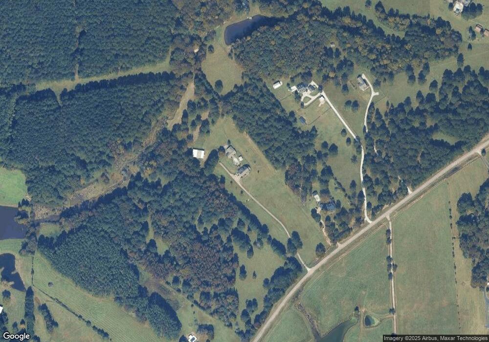
Map
Nearby Homes
- 2663-2683 W Point Rd
- 3658 W Point Rd
- 105 Redwood Dr
- 801 Glass Bridge Rd
- 102 Bridgewater Dr
- 5047 W Point Rd
- 107 Waters Edge Dr
- 22 Freeman Rd
- 104 Independence Ct
- 245 Teaver Rd
- 6 Hastings Ct
- 20 Hill Rd
- 311 Cumberland Dr
- 36 Hill Rd
- 101 Ivy Springs Dr
- 300 Cumberland Dr
- 1358 Glass Bridge Rd
- 474 Newton Rd
- 0 Bradfield Dr Unit 10568803
- 16 River Point Dr
- 6278 Old West Point Rd
- 6144 Old West Point Rd
- 6100 Old West Point Rd
- 6396 Old West Point Rd
- 6470 Old West Point Rd
- 336 Hudson Rd
- 261 Hudson Rd
- 6249 Old West Point Rd
- 121 Hudson Rd
- 4417 West Point Rd
- 4417 West Point Rd
- 6478 Old West Point Rd
- 6171 Old West Point Rd
- 5898 Old West Point Rd
- 202 Hudson Rd
- 6085 Old West Point Rd
- 78 Hudson Rd
- 68 Hudson Rd
- 284 Hudson Rd
- 56 Hudson Rd
Your Personal Tour Guide
Ask me questions while you tour the home.