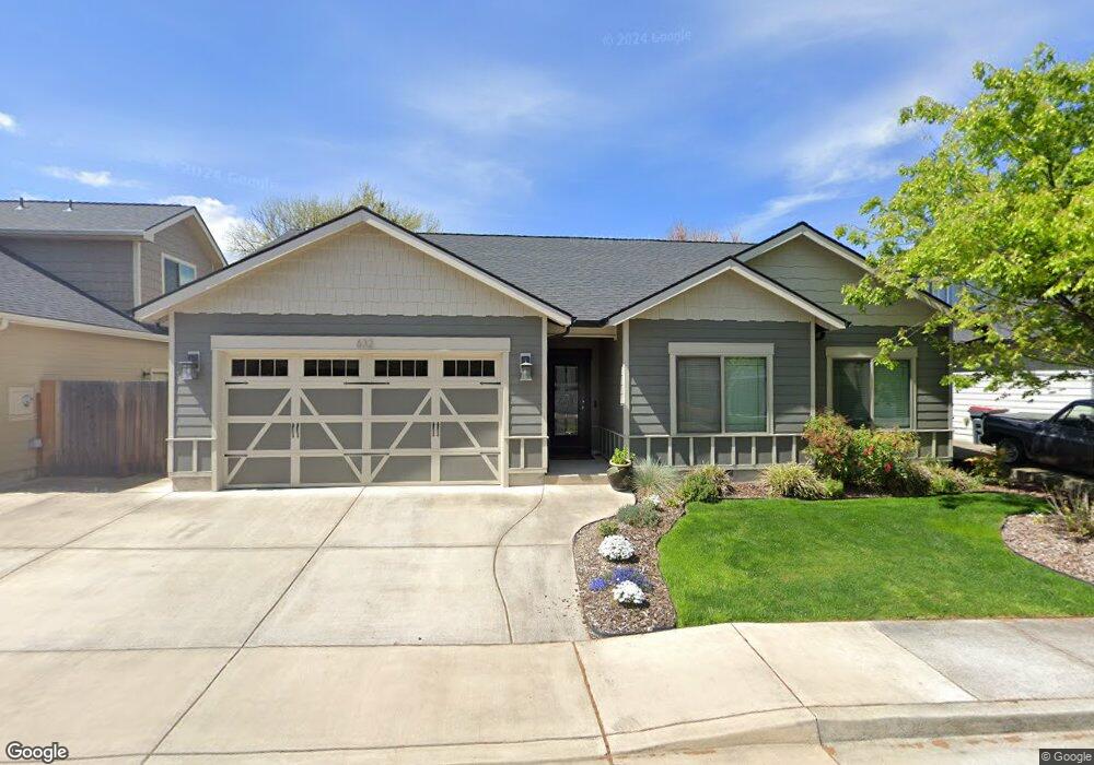
632 John Wayne Dr Unit 3 Central Point, OR 97502
Estimated Value: $387,216 - $450,000
3
Beds
2
Baths
1,599
Sq Ft
$265/Sq Ft
Est. Value
About This Home
This home is located at 632 John Wayne Dr Unit 3, Central Point, OR 97502 and is currently estimated at $423,804, approximately $265 per square foot. 632 John Wayne Dr Unit 3 is a home located in Jackson County with nearby schools including Richardson Elementary School, Scenic Middle School, and Crater High School.
Ownership History
Date
Name
Owned For
Owner Type
Purchase Details
Closed on
Jun 7, 2021
Sold by
Gold Family Group Llc
Bought by
Fleming Joseph B and Fleming Donna Lynn
Current Estimated Value
Purchase Details
Closed on
Mar 25, 2015
Sold by
Gold Bell Sally and Gold Randolph A
Bought by
Gold Family Group Llc
Home Financials for this Owner
Home Financials are based on the most recent Mortgage that was taken out on this home.
Original Mortgage
$118,500
Interest Rate
3.65%
Mortgage Type
New Conventional
Purchase Details
Closed on
Mar 18, 2015
Sold by
Carleton Robert J and Carleton Barbara A
Bought by
Bell Sally Gold and Gold Randolph A
Home Financials for this Owner
Home Financials are based on the most recent Mortgage that was taken out on this home.
Original Mortgage
$118,500
Interest Rate
3.65%
Mortgage Type
New Conventional
Create a Home Valuation Report for This Property
The Home Valuation Report is an in-depth analysis detailing your home's value as well as a comparison with similar homes in the area
Purchase History
| Date | Buyer | Sale Price | Title Company |
|---|---|---|---|
| Fleming Joseph B | $380,000 | First American | |
| Gold Family Group Llc | -- | Accommodation | |
| Bell Sally Gold | $228,000 | First American Title |
Source: Public Records
Mortgage History
| Date | Status | Borrower | Loan Amount |
|---|---|---|---|
| Previous Owner | Bell Sally Gold | $118,500 |
Source: Public Records
Tax History
| Year | Tax Paid | Tax Assessment Tax Assessment Total Assessment is a certain percentage of the fair market value that is determined by local assessors to be the total taxable value of land and additions on the property. | Land | Improvement |
|---|---|---|---|---|
| 2026 | $3,521 | $212,780 | -- | -- |
| 2025 | $3,435 | $206,590 | $49,250 | $157,340 |
| 2024 | $3,435 | $200,580 | $47,810 | $152,770 |
| 2023 | $3,324 | $194,740 | $46,420 | $148,320 |
| 2022 | $3,247 | $194,740 | $46,420 | $148,320 |
| 2021 | $3,154 | $189,070 | $45,070 | $144,000 |
| 2020 | $3,062 | $183,570 | $43,760 | $139,810 |
| 2019 | $2,987 | $173,040 | $41,250 | $131,790 |
| 2018 | $2,895 | $168,000 | $40,050 | $127,950 |
| 2017 | $2,823 | $168,000 | $40,050 | $127,950 |
| 2016 | $2,740 | $158,360 | $37,750 | $120,610 |
| 2015 | $955 | $175,150 | $38,650 | $136,500 |
| 2014 | $523 | $30,490 | $30,490 | $0 |
Source: Public Records
Map
Nearby Homes
- 632 John Wayne Dr
- 628 John Wayne Dr
- 636 John Wayne Dr
- 3348 Snowy Butte Unit Lot 1
- 3348 Snowy Butte Lot #1
- 3348 Snowy Butte
- 624 John Wayne Dr
- 3328 Snowy Butte Ln
- 606 Rita Way
- 631 John Wayne Dr Unit Lot 5
- 631 John Wayne Dr
- 0 John Wayne Dr Lot #7 Unit 102900618
- 3336 Snowy Butte Ln
- 0 John Wayne Dr Lot #3 Unit 102900620
- 627 John Wayne Dr
- 635 John Wayne Dr
- 607 Rita Way
- 639 John Wayne Dr
- 602 Rita Way
- 0 John Wayne Dr Lot #5 Unit 102900616
Your Personal Tour Guide
Ask me questions while you tour the home.