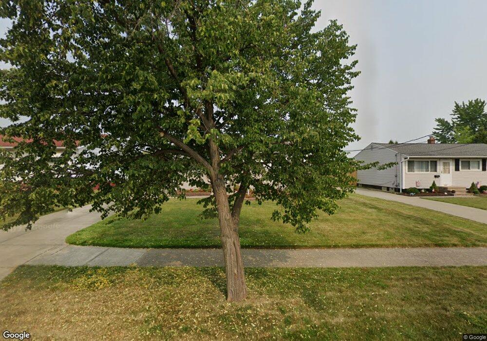
6322 Michael Dr Brookpark, OH 44142
Brook Park AreaEstimated Value: $191,000 - $220,000
About This Home
This home is located at 6322 Michael Dr, Brookpark, OH 44142 and is currently estimated at $209,425, approximately $219 per square foot. 6322 Michael Dr is a home located in Cuyahoga County with nearby schools including Berea-Midpark Middle School, Berea-Midpark High School, and Huber Heights Preparatory Academy Parma Academy.
Ownership History
We collect this data history from publicly available records. To have your information removed, we recommend requesting removal directly through your county’s website.
Purchase Details
Home Financials for this Owner
Home Financials are based on the most recent Mortgage that was taken out on this home.Purchase Details
Purchase Details
Home Values in the Area
Average Home Value in this Area
Purchase History
We collect this data history from publicly available records. To have your information removed, we recommend requesting removal directly through your county’s website.
| Date | Buyer | Sale Price | Title Company |
|---|---|---|---|
| -- | Attorney | ||
| -- | -- | ||
| -- | -- |
Mortgage History
We collect this data history from publicly available records. To have your information removed, we recommend requesting removal directly through your county’s website.
| Date | Status | Borrower | Loan Amount |
|---|---|---|---|
| Open | $70,000 | ||
| Closed | $60,000 | ||
| Closed | $40,000 |
Tax History
We collect this data history from publicly available records. To have your information removed, we recommend requesting removal directly through your county’s website.
| Year | Tax Paid | Tax Assessment Tax Assessment Total Assessment is a certain percentage of the fair market value that is determined by local assessors to be the total taxable value of land and additions on the property. | Land | Improvement |
|---|---|---|---|---|
| 2025 | $2,515 | $60,305 | $13,580 | $46,725 |
| 2024 | $2,548 | $60,305 | $13,580 | $46,725 |
| 2023 | $2,422 | $48,930 | $10,220 | $38,710 |
| 2022 | $2,430 | $48,930 | $10,220 | $38,710 |
| 2021 | $2,416 | $48,930 | $10,220 | $38,710 |
| 2020 | $2,056 | $38,850 | $8,120 | $30,730 |
| 2019 | $1,995 | $111,000 | $23,200 | $87,800 |
| 2018 | $1,859 | $38,850 | $8,120 | $30,730 |
| 2017 | $1,876 | $35,000 | $7,210 | $27,790 |
| 2016 | $1,860 | $35,000 | $7,210 | $27,790 |
| 2015 | $1,746 | $35,000 | $7,210 | $27,790 |
| 2014 | $1,746 | $35,000 | $7,210 | $27,790 |
Map
- 6176 Carol Dr
- 6379 Edgehurst Dr
- 6444 Schaaf Dr
- 15424 Holland Rd
- 15500 Richard Dr
- 6130 Smith Rd
- 14121 Donald Dr
- 15541 Susan Dr
- 13901 Franklyn Blvd
- 6377 Ledgebrook Dr
- 13963 Havendale Dr
- 16124 Holland Rd
- 14291 Gallatin Blvd
- 6526 Stonecrest Dr
- 13610 Starlite Dr
- 15504 Roxboro Dr
- 6391 Almont Dr
- 13548 Holland Rd
- 13495 Donald Dr
- 15460 Rademaker Dr
- 6317 Michael Dr
- 6309 Michael Dr
- 6325 Michael Dr
- 6303 Michael Dr
- 6333 Michael Dr
- 6297 Michael Dr
- 6341 Michael Dr
- 6314 Michael Dr
- 6304 Michael Dr
- 6293 Michael Dr
- 6349 Michael Dr
- 6300 Michael Dr
- 6338 Michael Dr
- 6294 Michael Dr
- 6357 Michael Dr
- 6287 Michael Dr
- 6346 Michael Dr
- 6290 Michael Dr
- 6220 Middlebrook Blvd
- 6214 Middlebrook Blvd
Ask me questions while you tour the home.