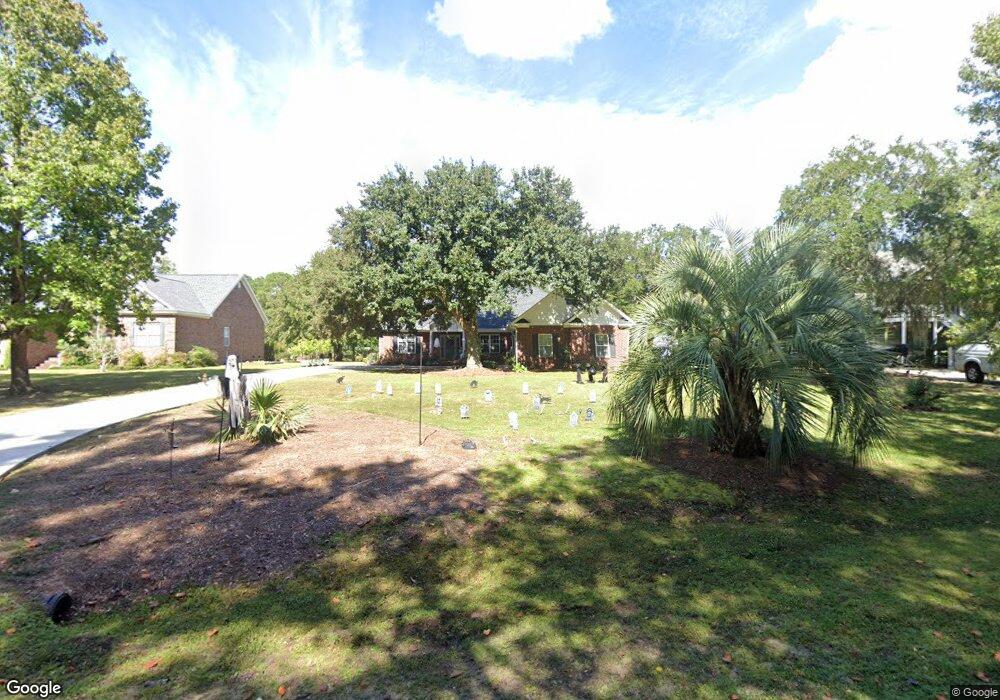
633 Robin Dr Georgetown, SC 29440
Estimated Value: $402,000 - $509,000
About This Home
This home is located at 633 Robin Dr, Georgetown, SC 29440 and is currently estimated at $440,903, approximately $211 per square foot. 633 Robin Dr is a home located in Georgetown County with nearby schools including Maryville Elementary School, Georgetown Middle School, and Georgetown High School.
Ownership History
We collect this data history from publicly available records. To have your information removed, we recommend requesting removal directly through your county’s website.
Purchase Details
Home Financials for this Owner
Home Financials are based on the most recent Mortgage that was taken out on this home.Purchase History
We collect this data history from publicly available records. To have your information removed, we recommend requesting removal directly through your county’s website.
| Date | Buyer | Sale Price | Title Company |
|---|---|---|---|
| $233,000 | -- |
Mortgage History
We collect this data history from publicly available records. To have your information removed, we recommend requesting removal directly through your county’s website.
| Date | Status | Borrower | Loan Amount |
|---|---|---|---|
| Open | $186,400 |
Tax History
We collect this data history from publicly available records. To have your information removed, we recommend requesting removal directly through your county’s website.
| Year | Tax Paid | Tax Assessment Tax Assessment Total Assessment is a certain percentage of the fair market value that is determined by local assessors to be the total taxable value of land and additions on the property. | Land | Improvement |
|---|---|---|---|---|
| 2025 | $1,633 | $11,533 | $1,800 | $9,733 |
| 2024 | $1,633 | $10,030 | $1,400 | $8,630 |
| 2023 | $1,542 | $10,030 | $1,400 | $8,630 |
| 2022 | $1,427 | $10,030 | $1,400 | $8,630 |
| 2021 | $1,389 | $10,028 | $1,400 | $8,628 |
| 2020 | $1,386 | $10,028 | $1,400 | $8,628 |
| 2019 | $1,301 | $9,420 | $1,200 | $8,220 |
| 2018 | $1,328 | $94,200 | $0 | $0 |
| 2017 | $1,141 | $94,200 | $0 | $0 |
| 2016 | $1,126 | $9,940 | $0 | $0 |
| 2015 | $921 | $0 | $0 | $0 |
| 2014 | $921 | $242,800 | $38,000 | $204,800 |
| 2012 | -- | $242,800 | $38,000 | $204,800 |
Map
- 753 Robin Dr
- 78 Sandpiper Ln
- 36 Heron Cove
- 43 Pheasant Loop Unit 304
- 43 Pheasant Loop Unit 302
- 27 Pheasant Loop Unit 293
- 133 Thrush Ct
- 153 Finch Dr Unit 283
- 117 Finch Dr Unit 272
- 8 Peter Horry Ct Unit 193
- 73 Finch Dr Unit 254
- 204 Bamboo Loop Unit 202
- 31 Battery White Ct Unit 1005
- 825 Commanders Island Rd
- 813 Commanders Island Rd
- Lot 142 Millbrook Rd
- tbd Oak Lawn Rd
- 719 Daisy Bank Cir
- 541 Oak Lawn Rd
- 3680 South Island Rd
- 611 Robin Dr
- 653 Robin Dr
- 0 Robin Dr
- 673 Robin Dr
- 583 Robin Dr
- 405 Robin Dr
- 539 Robin Dr
- 118 Widgeon Rd
- lot 8 Robin Dr
- lot 7 Robin Dr
- TBD Robin Dr Unit Lot 3 Belle Isle Est
- 262 Robin Dr
- 723 Robin Dr
- 84 Widgeon Rd
- Lot 33 Widgeon Dr
- Lot 33 Widgeon Dr Unit Pawleys Plantation
- 753 Robin Dr Unit Belle Isle Forest
- 149 Widgeon Rd
- 58 Widgeon Rd
- 125 Widgeon Rd
Ask me questions while you tour the home.