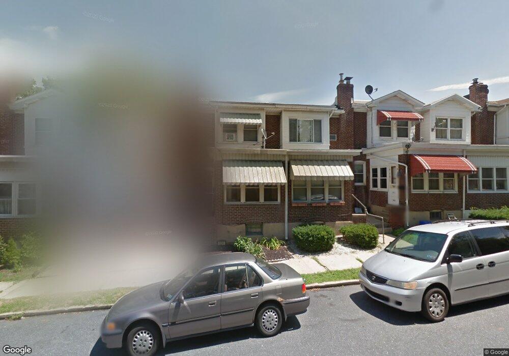
634 6th Ave Bethlehem, PA 18018
West Bethlehem NeighborhoodEstimated Value: $206,000 - $277,000
3
Beds
1
Bath
1,464
Sq Ft
$169/Sq Ft
Est. Value
About This Home
This home is located at 634 6th Ave, Bethlehem, PA 18018 and is currently estimated at $247,256, approximately $168 per square foot. 634 6th Ave is a home located in Lehigh County with nearby schools including James Buchanan Elementary School, Nitschmann Middle School, and Liberty High School.
Ownership History
Date
Name
Owned For
Owner Type
Purchase Details
Closed on
Aug 31, 2007
Sold by
Weaver Sheri L
Bought by
Harewood Lisa B
Current Estimated Value
Home Financials for this Owner
Home Financials are based on the most recent Mortgage that was taken out on this home.
Original Mortgage
$145,847
Outstanding Balance
$90,575
Interest Rate
6.74%
Mortgage Type
FHA
Estimated Equity
$156,681
Purchase Details
Closed on
Oct 11, 2002
Sold by
Kuti Guy S and Kuti Maryann C
Bought by
Weaver Sheri L
Home Financials for this Owner
Home Financials are based on the most recent Mortgage that was taken out on this home.
Original Mortgage
$84,823
Interest Rate
6.24%
Mortgage Type
FHA
Purchase Details
Closed on
Oct 29, 1980
Bought by
Kuti Guy S and Kuti Maryann C
Create a Home Valuation Report for This Property
The Home Valuation Report is an in-depth analysis detailing your home's value as well as a comparison with similar homes in the area
Home Values in the Area
Average Home Value in this Area
Purchase History
We collect this data history from publicly available records. To have your information removed, we recommend requesting removal directly through your county’s website.
| Date | Buyer | Sale Price | Title Company |
|---|---|---|---|
| Harewood Lisa B | $147,000 | -- | |
| Weaver Sheri L | $85,500 | -- | |
| Kuti Guy S | $38,500 | -- |
Source: Public Records
Mortgage History
We collect this data history from publicly available records. To have your information removed, we recommend requesting removal directly through your county’s website.
| Date | Status | Borrower | Loan Amount |
|---|---|---|---|
| Open | Harewood Lisa B | $145,847 | |
| Previous Owner | Weaver Sheri L | $84,823 |
Source: Public Records
Tax History
| Year | Tax Paid | Tax Assessment Tax Assessment Total Assessment is a certain percentage of the fair market value that is determined by local assessors to be the total taxable value of land and additions on the property. | Land | Improvement |
|---|---|---|---|---|
| 2026 | $3,156 | $107,300 | $9,600 | $97,700 |
| 2025 | $3,083 | $107,300 | $9,600 | $97,700 |
| 2024 | $3,047 | $107,300 | $9,600 | $97,700 |
| 2023 | $3,021 | $107,300 | $9,600 | $97,700 |
| 2022 | $3,070 | $107,300 | $97,700 | $9,600 |
| 2021 | $3,056 | $107,300 | $9,600 | $97,700 |
| 2020 | $2,958 | $107,300 | $9,600 | $97,700 |
| 2019 | $2,980 | $107,300 | $9,600 | $97,700 |
| 2018 | $2,922 | $107,300 | $9,600 | $97,700 |
| 2017 | $2,792 | $107,300 | $9,600 | $97,700 |
| 2016 | -- | $107,300 | $9,600 | $97,700 |
| 2015 | -- | $107,300 | $9,600 | $97,700 |
| 2014 | -- | $107,300 | $9,600 | $97,700 |
Source: Public Records
Map
Nearby Homes
Your Personal Tour Guide
Ask me questions while you tour the home.