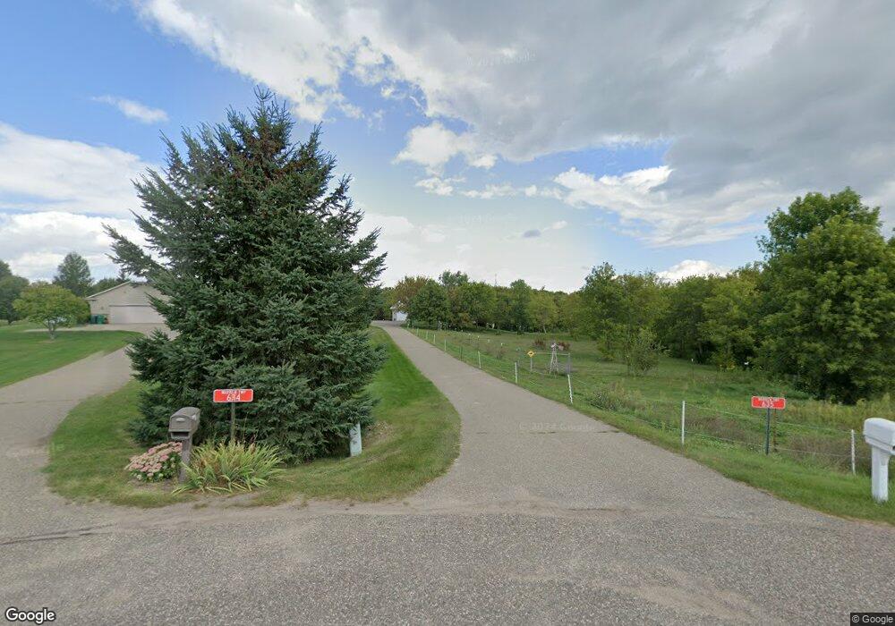
635 91st St Hudson, WI 54016
Warren NeighborhoodEstimated Value: $577,000 - $740,000
About This Home
This home is located at 635 91st St, Hudson, WI 54016 and is currently estimated at $678,221. 635 91st St is a home located in St. Croix County with nearby schools including Saint Croix Central Elementary School, Saint Croix Central Middle School, and St. Croix Central High School.
Ownership History
We collect this data history from publicly available records. To have your information removed, we recommend requesting removal directly through your county’s website.
Purchase Details
Home Financials for this Owner
Home Financials are based on the most recent Mortgage that was taken out on this home.Home Values in the Area
Average Home Value in this Area
Purchase History
We collect this data history from publicly available records. To have your information removed, we recommend requesting removal directly through your county’s website.
| Date | Buyer | Sale Price | Title Company |
|---|---|---|---|
| $49,000 | None Available | ||
| $48,000 | None Available |
Mortgage History
We collect this data history from publicly available records. To have your information removed, we recommend requesting removal directly through your county’s website.
| Date | Status | Borrower | Loan Amount |
|---|---|---|---|
| Open | $48,000 | ||
| Closed | $49,000 |
Tax History
We collect this data history from publicly available records. To have your information removed, we recommend requesting removal directly through your county’s website.
| Year | Tax Paid | Tax Assessment Tax Assessment Total Assessment is a certain percentage of the fair market value that is determined by local assessors to be the total taxable value of land and additions on the property. | Land | Improvement |
|---|---|---|---|---|
| 2025 | $6,673 | $592,200 | $118,800 | $473,400 |
| 2024 | $65 | $592,200 | $118,800 | $473,400 |
| 2023 | $5,464 | $341,200 | $76,100 | $265,100 |
| 2022 | $5,052 | $341,200 | $76,100 | $265,100 |
| 2021 | $5,116 | $341,200 | $76,100 | $265,100 |
| 2020 | $4,913 | $341,200 | $76,100 | $265,100 |
| 2019 | $4,164 | $341,200 | $76,100 | $265,100 |
| 2018 | $4,238 | $306,300 | $76,100 | $230,200 |
| 2017 | $4,489 | $233,100 | $44,900 | $188,200 |
| 2016 | $4,489 | $233,100 | $44,900 | $188,200 |
| 2015 | $3,933 | $229,600 | $44,900 | $184,700 |
| 2014 | $3,026 | $172,700 | $44,900 | $127,800 |
| 2013 | $756 | $44,900 | $44,900 | $0 |
Map
- 594 Boundary Rd
- 660 100th St
- TBD Lot 10 65th Ave
- 967 65th Ave
- 909 Acorn Ct
- 1013 70th Ave
- 794 Sumac Trail
- 896 Highlander Trail
- 739 Magoo Rd
- 545 Kreuziger Rd
- 481 Sleepy Hollow Dr
- 908 87th Ave
- 488 (Lot 16) Summit Ridge
- 491 (Lot 10) Prominence Way
- 469 (Lot 1) Prominence Way
- 722 (Lot 40) Crest Curve
- 725 (Lot 53) Crest Curve
- 467 Prominence Way
- 392 Candy Ln
- 372 Candy Ln
Ask me questions while you tour the home.