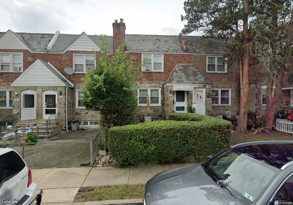
635 Andover Rd Upper Darby, PA 19082
Estimated Value: $174,000 - $195,000
3
Beds
1
Bath
1,284
Sq Ft
$145/Sq Ft
Est. Value
About This Home
This home is located at 635 Andover Rd, Upper Darby, PA 19082 and is currently estimated at $186,040, approximately $144 per square foot. 635 Andover Rd is a home located in Delaware County with nearby schools including Upper Darby Kdg Center, Upper Darby High School, and Vision Academy Charter School.
Ownership History
Date
Name
Owned For
Owner Type
Purchase Details
Closed on
Jul 15, 1999
Sold by
Silverman Albert
Bought by
Garwhedeh Richard and Sirleas Cietta
Current Estimated Value
Home Financials for this Owner
Home Financials are based on the most recent Mortgage that was taken out on this home.
Original Mortgage
$56,050
Outstanding Balance
$15,613
Interest Rate
7.49%
Estimated Equity
$170,427
Create a Home Valuation Report for This Property
The Home Valuation Report is an in-depth analysis detailing your home's value as well as a comparison with similar homes in the area
Home Values in the Area
Average Home Value in this Area
Purchase History
| Date | Buyer | Sale Price | Title Company |
|---|---|---|---|
| Garwhedeh Richard | $59,000 | Commonwealth Land Title Ins |
Source: Public Records
Mortgage History
| Date | Status | Borrower | Loan Amount |
|---|---|---|---|
| Open | Garwhedeh Richard | $56,050 |
Source: Public Records
Tax History
| Year | Tax Paid | Tax Assessment Tax Assessment Total Assessment is a certain percentage of the fair market value that is determined by local assessors to be the total taxable value of land and additions on the property. | Land | Improvement |
|---|---|---|---|---|
| 2025 | $3,779 | $89,360 | $14,400 | $74,960 |
| 2024 | $3,779 | $89,360 | $14,400 | $74,960 |
| 2023 | $3,744 | $89,360 | $14,400 | $74,960 |
| 2022 | $3,643 | $89,360 | $14,400 | $74,960 |
| 2021 | $4,912 | $89,360 | $14,400 | $74,960 |
| 2020 | $3,635 | $56,190 | $18,010 | $38,180 |
| 2019 | $3,571 | $56,190 | $18,010 | $38,180 |
| 2018 | $3,530 | $56,190 | $0 | $0 |
| 2017 | $3,438 | $56,190 | $0 | $0 |
| 2016 | $315 | $56,190 | $0 | $0 |
| 2015 | $315 | $56,190 | $0 | $0 |
| 2014 | $315 | $56,190 | $0 | $0 |
Source: Public Records
Map
Nearby Homes
- 607 Briarcliff Rd
- 6866 Clover Ln
- 7043 Radbourne Rd
- 7000 Greenwood Ave
- 535 Wiltshire Rd
- 6993 Guilford Rd
- 6997 Guilford Rd
- 6243 Carpenter St
- 7042 Clinton Rd
- 7023 Guilford Rd
- 7056 Aberdeen Rd
- 7010 Atlantic Ave
- 6212 Ellsworth St
- 6209 Carpenter St
- 7160 Clover Ln
- 614 Littlecroft Rd
- 7117 Atlantic Ave
- 513 Woodcliffe Rd
- 550 Wiltshire Rd
- 6147 Christian St
- 637 Andover Rd
- 633 Andover Rd
- 631 Andover Rd
- 639 Andover Rd
- 629 Andover Rd
- 627 Andover Rd
- 642 Briarcliff Rd
- 640 Briarcliff Rd
- 644 Briarcliff Rd
- 638 Briarcliff Rd
- 625 Andover Rd
- 636 Briarcliff Rd
- 634 Briarcliff Rd
- 6841 Radbourne Rd
- 6839 Radbourne Rd
- 623 Andover Rd
- 6837 Radbourne Rd
- 6843 Radbourne Rd
- 632 Briarcliff Rd
- 6835 Radbourne Rd
Your Personal Tour Guide
Ask me questions while you tour the home.