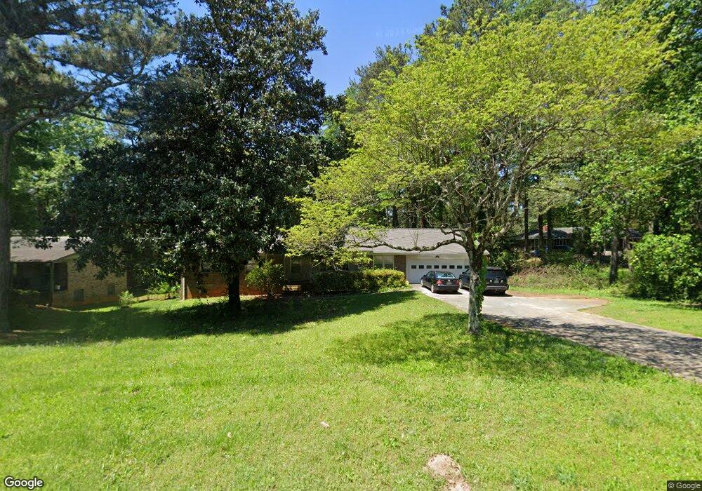
635 Rowland Rd Stone Mountain, GA 30083
Estimated Value: $254,000 - $277,000
3
Beds
2
Baths
1,870
Sq Ft
$141/Sq Ft
Est. Value
About This Home
This home is located at 635 Rowland Rd, Stone Mountain, GA 30083 and is currently estimated at $264,191, approximately $141 per square foot. 635 Rowland Rd is a home located in DeKalb County with nearby schools including Allgood Elementary School, Freedom Middle School, and Clarkston High School.
Ownership History
Date
Name
Owned For
Owner Type
Purchase Details
Closed on
Jul 8, 2019
Sold by
Anderson Patricia A
Bought by
May Toe and Nyen Ma
Current Estimated Value
Create a Home Valuation Report for This Property
The Home Valuation Report is an in-depth analysis detailing your home's value as well as a comparison with similar homes in the area
Home Values in the Area
Average Home Value in this Area
Purchase History
| Date | Buyer | Sale Price | Title Company |
|---|---|---|---|
| May Toe | $185,000 | -- |
Source: Public Records
Tax History
| Year | Tax Paid | Tax Assessment Tax Assessment Total Assessment is a certain percentage of the fair market value that is determined by local assessors to be the total taxable value of land and additions on the property. | Land | Improvement |
|---|---|---|---|---|
| 2025 | $5,072 | $105,240 | $15,200 | $90,040 |
| 2024 | $4,576 | $93,920 | $15,200 | $78,720 |
| 2023 | $4,576 | $109,160 | $15,200 | $93,960 |
Source: Public Records
Map
Nearby Homes
- 592 Allgood Rd
- 736 Valley Creek Dr
- 4578 Craghill Cir
- 755 Valley Creek Dr
- 4563 Ruby Rd
- 737 Allgood Valley Ct
- 527 Rimrock Trail
- 4595 Garden Hills Dr
- 4561 Garden Hills Dr
- 4584 Garden Hills Dr
- 488 Barclay Ct
- 804 Rowland Rd
- 4616 Garden Hills Dr Unit 1
- 4820 Banner Elk Dr
- 486 Prince of Wales
- 497 Prince of Wales
- 4634 Garden Hills Dr
- 448 Prince of Wales
- 539 Prince of Wales
- 457 Prince of Wales
- 4610 Delanie Ct
- 4602 Delanie Ct Unit 2
- 4497 Heavitree Ct
- 621 Rowland Rd
- 4489 Heavitree Ct
- 4596 Delanie Ct Unit 2
- 4481 Heavitree Ct
- 4609 Delanie Ct
- 4586 Delanie Ct
- 4595 Delanie Ct
- 605 Rowland Rd
- 4473 Heavitree Ct
- 4496 Heavitree Ct
- 4488 Heavitree Ct
- 669 Rowland Rd
- 602 Rowland Rd
- 666 Delanie Way
- 4578 Delanie Ct
- 4465 Heavitree Ct
- 4480 Heavitree Ct Unit 875
Your Personal Tour Guide
Ask me questions while you tour the home.