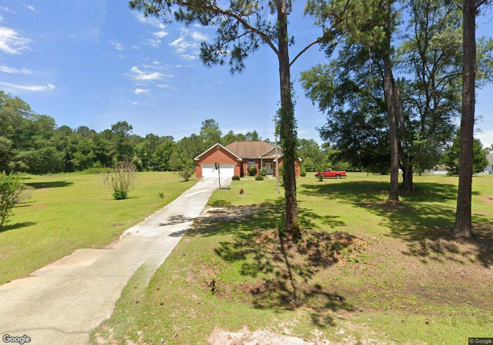
635 Selman Rd Quincy, FL 32351
Estimated Value: $300,258 - $374,000
3
Beds
2
Baths
1,870
Sq Ft
$179/Sq Ft
Est. Value
About This Home
This home is located at 635 Selman Rd, Quincy, FL 32351 and is currently estimated at $335,065, approximately $179 per square foot. 635 Selman Rd is a home located in Gadsden County with nearby schools including Crossroad Academy.
Ownership History
Date
Name
Owned For
Owner Type
Purchase Details
Closed on
Jan 31, 2021
Sold by
Washington Terricka
Bought by
Washington Donnie
Current Estimated Value
Purchase Details
Closed on
Apr 14, 2005
Sold by
Sheline Yvonne E
Bought by
Poole Corey D and Poole Angela M
Home Financials for this Owner
Home Financials are based on the most recent Mortgage that was taken out on this home.
Original Mortgage
$173,565
Outstanding Balance
$92,327
Interest Rate
5.79%
Mortgage Type
Construction
Estimated Equity
$242,738
Create a Home Valuation Report for This Property
The Home Valuation Report is an in-depth analysis detailing your home's value as well as a comparison with similar homes in the area
Purchase History
| Date | Buyer | Sale Price | Title Company |
|---|---|---|---|
| Washington Donnie | -- | None Available | |
| Poole Corey D | $23,000 | Stewart Title Of Tallahassee | |
| Washington Donnie M | $35,000 | Stewart Title Of Tallahassee |
Source: Public Records
Mortgage History
| Date | Status | Borrower | Loan Amount |
|---|---|---|---|
| Open | Washington Donnie M | $173,565 |
Source: Public Records
Tax History
| Year | Tax Paid | Tax Assessment Tax Assessment Total Assessment is a certain percentage of the fair market value that is determined by local assessors to be the total taxable value of land and additions on the property. | Land | Improvement |
|---|---|---|---|---|
| 2025 | $1,314 | $133,372 | -- | -- |
| 2024 | $1,282 | $129,614 | -- | -- |
| 2023 | $1,235 | $125,839 | $0 | $0 |
| 2022 | $1,187 | $122,174 | $0 | $0 |
| 2021 | $1,169 | $118,616 | $0 | $0 |
| 2020 | $1,143 | $116,979 | $5,000 | $111,979 |
| 2019 | $1,191 | $118,251 | $5,000 | $113,251 |
| 2018 | $1,214 | $118,251 | $0 | $0 |
| 2017 | $1,203 | $117,146 | $0 | $0 |
| 2016 | $1,245 | $118,411 | $0 | $0 |
| 2015 | $1,282 | $119,083 | $0 | $0 |
| 2014 | $1,316 | $120,774 | $0 | $0 |
Source: Public Records
Map
Nearby Homes
- 1215 Selman Rd
- 145 Oak Grove Ln
- Peachtree Ln
- 1165 Selman Rd
- 000 Circle Dr
- 1127 Hill St
- 762 Strong Rd
- 167 Sparkleberry Blvd
- XXXX Strong Rd
- 217 Sparkleberry Blvd
- 319 Mclendon Ln
- 228 Bradley St
- 210 Marshall St
- 310 S Chalk St
- 818 Moore Rd
- 135 Ball Farm Rd
- XXXX Jetty Ave
- 224 Camellia Dr
- 332 S Shadow St
- 201 Dupont Ave
- 705 Selman Rd
- 565 Selman Rd
- 755 Selman Rd Unit 1
- 755 Selman Rd
- 730 Selman Rd
- 55 Peachtree
- 55 Peachtree Unit 4
- 785 Selman Rd
- 750 Selman Rd
- 0 Peachtree Dr Unit 304310
- 0 Peachtree Dr Unit 304309
- 0 Peachtree Dr Unit 304308
- 0 Peachtree Dr Unit 304305
- 0 Peachtree Dr Unit 304263
- 0 Peachtree Dr Unit 304262
- 0 Peachtree Dr Unit 304261
- 0 Peachtree Dr Unit 304260
- 0 Peachtree Dr Unit 304259
- 0 Peachtree Dr Unit 304258
- 0 Peachtree Dr Unit 304257
Your Personal Tour Guide
Ask me questions while you tour the home.