Estimated Value: $181,680 - $249,000
3
Beds
2
Baths
1,704
Sq Ft
$123/Sq Ft
Est. Value
About This Home
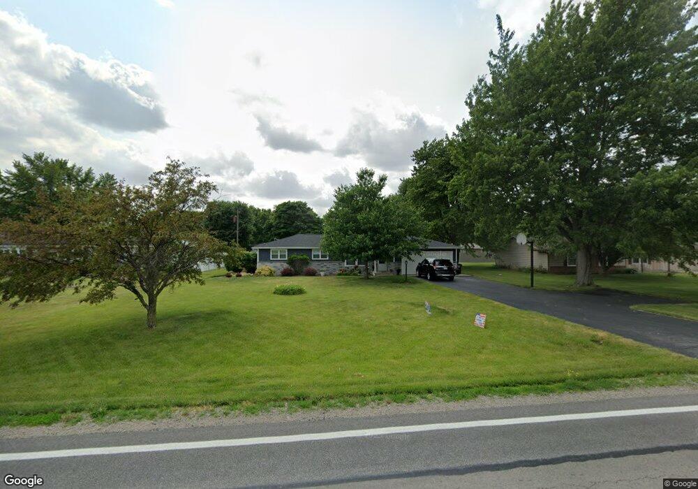
This home is located at 6353 State Route 49, Payne, OH 45880 and is currently estimated at $210,420, approximately $123 per square foot. 6353 State Route 49 is a home located in Paulding County with nearby schools including Wayne Trace High School and Divine Mercy School.
Ownership History
Date
Name
Owned For
Owner Type
Purchase Details
Closed on
Sep 24, 2010
Sold by
Lamb Anthony and Lamb Rita
Bought by
Jerome Michael E and Jerome Teri R
Current Estimated Value
Home Financials for this Owner
Home Financials are based on the most recent Mortgage that was taken out on this home.
Original Mortgage
$94,050
Outstanding Balance
$60,870
Interest Rate
4.36%
Mortgage Type
Purchase Money Mortgage
Estimated Equity
$149,550
Purchase Details
Closed on
Jan 1, 1990
Bought by
Jerome Michael E and Jerome Teri R
Create a Home Valuation Report for This Property
The Home Valuation Report is an in-depth analysis detailing your home's value as well as a comparison with similar homes in the area
Purchase History
We collect this data history from publicly available records. To have your information removed, we recommend requesting removal directly through your county’s website.
| Date | Buyer | Sale Price | Title Company |
|---|---|---|---|
| Jerome Michael E | $104,500 | None Available | |
| Jerome Michael E | -- | -- |
Source: Public Records
Mortgage History
We collect this data history from publicly available records. To have your information removed, we recommend requesting removal directly through your county’s website.
| Date | Status | Borrower | Loan Amount |
|---|---|---|---|
| Open | Jerome Michael E | $94,050 |
Source: Public Records
Tax History
| Year | Tax Paid | Tax Assessment Tax Assessment Total Assessment is a certain percentage of the fair market value that is determined by local assessors to be the total taxable value of land and additions on the property. | Land | Improvement |
|---|---|---|---|---|
| 2025 | $1,771 | $55,900 | $9,560 | $46,340 |
| 2024 | $1,771 | $43,650 | $7,460 | $36,190 |
| 2023 | $1,446 | $43,650 | $7,460 | $36,190 |
| 2022 | $1,480 | $43,650 | $7,460 | $36,190 |
| 2021 | $1,456 | $38,650 | $7,460 | $31,190 |
| 2020 | $1,505 | $38,650 | $7,460 | $31,190 |
| 2019 | $1,512 | $34,590 | $7,460 | $27,130 |
| 2018 | $1,234 | $34,590 | $7,460 | $27,130 |
| 2017 | $1,235 | $34,590 | $7,460 | $27,130 |
| 2016 | $1,235 | $34,590 | $7,460 | $27,130 |
| 2015 | $1,057 | $30,350 | $7,460 | $22,890 |
| 2014 | $1,071 | $30,350 | $7,460 | $22,890 |
| 2013 | $1,307 | $32,910 | $7,460 | $25,450 |
Source: Public Records
Map
Nearby Homes
- 6312 Meadowlark Ln
- 427 Fox St
- 412 S Laura St
- 820 Brian Dr
- 518 W Merrin St
- 6306 Road 55
- 3497 Road 49
- 8664 Road 71
- 2125 Road 144
- 6576 Elm Sugar Rd
- 11051 Road 93
- 4679 Legacy Cove
- 26001 Gore Rd
- 22902 Woodburn Rd
- 22238 Travertine Run
- 9266 Road 107
- 314 E Canal St
- 19900 Dawkins Rd
- 5310 Indiana 101
- 5038 Chickadee Dr
- 6367 State Route 49
- 6367 49
- 6348 Meadowlark Ln
- 6368 Meadowlark Ln
- 6327 State Route 49
- 6330 Meadowlark Ln
- 6385 State Route 49
- 6281 Ohio 49
- 6292 Meadowlark Ln
- 6341 Meadowlark Ln
- 6379 Meadowlark Ln
- 6325 Meadowlark Ln
- 4987 Flatrock Trail
- 4965 Flatrock Trail
- 0 Meadowlark Ln Unit 4650780
- 0 Meadowlark Ln Unit 5004214
- 6299 Meadowlark Ln
- 4927 Flatrock Trail
- 4897 Flatrock Trail
- 4862 Flatrock Trail
Your Personal Tour Guide
Ask me questions while you tour the home.