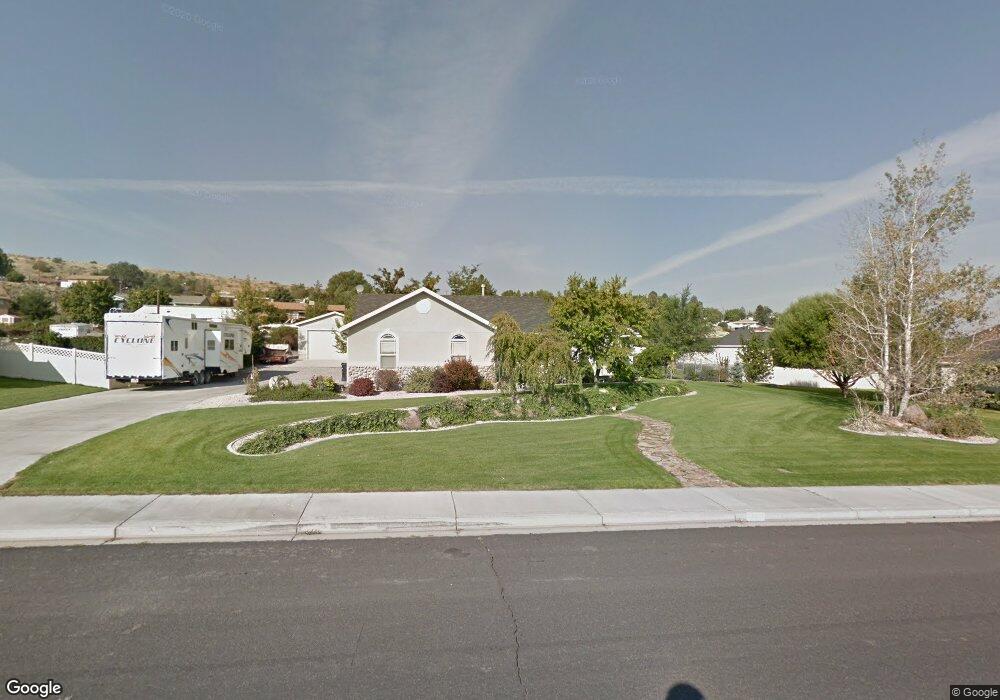
636 S 1200 E Unit 21 Payson, UT 84651
Estimated Value: $501,000 - $653,629
2
Beds
2
Baths
1,656
Sq Ft
$350/Sq Ft
Est. Value
About This Home
This home is located at 636 S 1200 E Unit 21, Payson, UT 84651 and is currently estimated at $579,657, approximately $350 per square foot. 636 S 1200 E Unit 21 is a home located in Utah County with nearby schools including Barnett Elementary School, Salem Junior High School, and Valley View Middle School.
Ownership History
Date
Name
Owned For
Owner Type
Purchase Details
Closed on
Aug 24, 2016
Sold by
Tanner Martin B and Tanner Carol R
Bought by
Tanner Martin B and Tanner Carol R
Current Estimated Value
Purchase Details
Closed on
Sep 4, 2002
Sold by
Tanner Carol R and Tanner Martin B
Bought by
Tanner Martin B and Tanner Carol R
Home Financials for this Owner
Home Financials are based on the most recent Mortgage that was taken out on this home.
Original Mortgage
$154,000
Outstanding Balance
$64,566
Interest Rate
6.29%
Estimated Equity
$515,091
Purchase Details
Closed on
May 8, 2001
Sold by
Tanner Martin Bert and Tanner Carol
Bought by
Tanner Martin B and Tanner Carol R
Home Financials for this Owner
Home Financials are based on the most recent Mortgage that was taken out on this home.
Original Mortgage
$151,000
Interest Rate
6.89%
Purchase Details
Closed on
May 5, 2000
Sold by
Av Construction Inc
Bought by
Wilson Carol
Create a Home Valuation Report for This Property
The Home Valuation Report is an in-depth analysis detailing your home's value as well as a comparison with similar homes in the area
Home Values in the Area
Average Home Value in this Area
Purchase History
| Date | Buyer | Sale Price | Title Company |
|---|---|---|---|
| Tanner Martin B | -- | None Available | |
| Tanner Martin B | -- | Pro Title & Escrow Inc | |
| Tanner Martin B | -- | Pro Title & Escrow Inc | |
| Wilson Carol | -- | Empire Land Title Company |
Source: Public Records
Mortgage History
| Date | Status | Borrower | Loan Amount |
|---|---|---|---|
| Open | Tanner Martin B | $154,000 | |
| Closed | Tanner Martin B | $151,000 |
Source: Public Records
Tax History
| Year | Tax Paid | Tax Assessment Tax Assessment Total Assessment is a certain percentage of the fair market value that is determined by local assessors to be the total taxable value of land and additions on the property. | Land | Improvement |
|---|---|---|---|---|
| 2025 | $3,140 | $338,690 | -- | -- |
| 2024 | $3,140 | $319,550 | $0 | $0 |
| 2023 | $3,209 | $327,525 | $0 | $0 |
| 2022 | $3,021 | $303,215 | $0 | $0 |
| 2021 | $2,533 | $407,800 | $161,700 | $246,100 |
| 2020 | $2,356 | $371,000 | $140,600 | $230,400 |
| 2019 | $2,101 | $339,200 | $116,300 | $222,900 |
| 2018 | $2,046 | $318,400 | $106,700 | $211,700 |
| 2017 | $1,911 | $159,940 | $0 | $0 |
| 2016 | $1,813 | $150,755 | $0 | $0 |
| 2015 | $1,600 | $132,165 | $0 | $0 |
| 2014 | $1,430 | $118,965 | $0 | $0 |
Source: Public Records
Map
Nearby Homes
- 753 N Emery Ln Unit 57
- 678 N Mountain View Dr
- 552 E Longview Dr Unit 29
- 348 E Dr E Unit 26
- 5620 W 8800 S Unit 2
- 643 E Longview Dr Unit 8
- 337 W 100 S
- 844 N Emery Ln Unit 59
- 942 W Wilcock Cove
- 4100 W 12400 S
- 523 1045 S 1700 S Unit 523
- 61 S Lighthouse Cir Unit 14
- 823 N Mountain Dr Unit 62
- 320 E East Ridgeview Dr Unit 27
- 526 E Sophie Cir Unit 1
- 700 S Hillside Dr E
- 792 N Mountain View Dr
- 791 N Emery Ln Unit 55
- 648 N Cosette Cove E Unit 5
- 831 N Emery Ln Unit 54
- 636 S 1200 E
- 603 S Loafer View Dr
- 615 S Loafer View Dr
- 652 S 1200 E
- 652 S 1200 E Unit 20
- 616 S Loafer View Dr
- 597 S Loafer View Dr
- 596 S Loafer View Dr
- 589 S 1150 E
- 1191 E Salem Canal Rd
- 621 S 1150 E
- 1155 E 577 S
- 1213 E 640 S
- 1213 E 640 S Unit 9
- 584 S Loafer View Dr
- 1208 E Loafer View Dr
- 662 S 1200 E
- 662 S 1200 E Unit 19
- 693 S 1150 E
- 1212 E 640 S
Your Personal Tour Guide
Ask me questions while you tour the home.