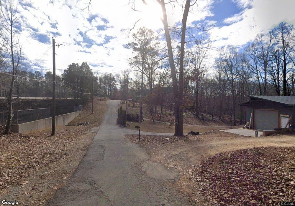
6368 Tuggle Dr Buford, GA 30518
Estimated Value: $441,000 - $532,000
About This Home
This home is located at 6368 Tuggle Dr, Buford, GA 30518 and is currently estimated at $479,849, approximately $200 per square foot. 6368 Tuggle Dr is a home with nearby schools including Friendship Elementary School, C.W. Davis Middle School, and Flowery Branch High School.
Ownership History
We collect this data history from publicly available records. To have your information removed, we recommend requesting removal directly through your county’s website.
Purchase Details
Purchase Details
Purchase Details
Purchase Details
Home Financials for this Owner
Home Financials are based on the most recent Mortgage that was taken out on this home.Home Values in the Area
Average Home Value in this Area
Purchase History
We collect this data history from publicly available records. To have your information removed, we recommend requesting removal directly through your county’s website.
| Date | Buyer | Sale Price | Title Company |
|---|---|---|---|
| $177,700 | -- | ||
| -- | -- | ||
| $138,000 | -- | ||
| $40,000 | -- |
Mortgage History
We collect this data history from publicly available records. To have your information removed, we recommend requesting removal directly through your county’s website.
| Date | Status | Borrower | Loan Amount |
|---|---|---|---|
| Previous Owner | $80,597 |
Tax History
We collect this data history from publicly available records. To have your information removed, we recommend requesting removal directly through your county’s website.
| Year | Tax Paid | Tax Assessment Tax Assessment Total Assessment is a certain percentage of the fair market value that is determined by local assessors to be the total taxable value of land and additions on the property. | Land | Improvement |
|---|---|---|---|---|
| 2025 | $3,709 | $152,600 | $4,320 | $148,280 |
| 2024 | $3,714 | $147,520 | $4,320 | $143,200 |
| 2023 | $3,503 | $138,960 | $4,320 | $134,640 |
| 2022 | $3,010 | $114,120 | $4,320 | $109,800 |
| 2021 | $2,975 | $110,640 | $4,320 | $106,320 |
| 2020 | $2,934 | $105,920 | $4,320 | $101,600 |
| 2019 | $2,845 | $101,680 | $5,120 | $96,560 |
| 2018 | $2,742 | $94,760 | $4,400 | $90,360 |
| 2017 | $2,505 | $87,240 | $4,400 | $82,840 |
| 2016 | $2,445 | $90,800 | $4,400 | $86,400 |
| 2015 | $3,340 | $105,960 | $4,400 | $101,560 |
| 2014 | $3,340 | $119,200 | $17,640 | $101,560 |
Map
- 5885 Bay View Dr
- 1969 Lanier Harbor Point
- 1930 Lanier Harbor Point
- 1900 Lanier Harbor Point
- 6298 Lanier Harbor Landing
- 5574 Lanier Islands Pkwy
- 5033 Lanier Islands Pkwy
- 6238 Cascade Falls Dr
- 5832 Bay View Dr
- 5966 Island View Dr
- 6142 Bethany View Trail
- 6146 Bethany View Trail
- 6119 Bethany View Trail
- 3600 Shoreland Dr
- 6093 Shadburn Ferry Rd
- 6225 Bridgewood Dr
- 6222 Bridgewood Dr
- 0 N Waterworks Rd Unit 10673691
- 0 N Waterworks Rd Unit 7705447
- 6172 New Bethany Rd
- 6376 Tuggle Dr Unit 28
- 6376 Tuggle Dr
- 6372 Tuggle Dr
- 6380 Tuggle Dr
- 6386 Tuggle Dr
- 6398 Tuggle Dr
- 6410 Tuggle Dr
- 6480 Tuggle Dr
- 5881 Bay View Dr
- 5875 Bay View Dr
- 2852 Coles Mill Dr
- 5887 Bay View Dr
- 6302 Lanier Islands Pkwy
- 6490 Tuggle Dr
- 5863 Bay View Dr
- 2857 Merritt Dr
- 5891 Bay View Dr
- 2863 Merritt Dr
- 2853 Merritt Dr
- 5859 Bay View Dr
Ask me questions while you tour the home.