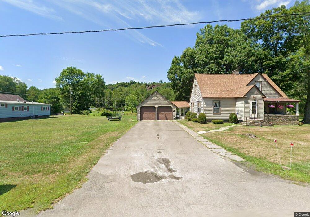
637 Springbrook Dr Canton, PA 17724
Estimated Value: $125,000 - $176,000
2
Beds
3
Baths
--
Sq Ft
34,412
Sq Ft Lot
About This Home
This home is located at 637 Springbrook Dr, Canton, PA 17724 and is currently estimated at $151,132. 637 Springbrook Dr is a home located in Bradford County with nearby schools including Canton Area Elementary School and Canton Junior/Senior High School.
Ownership History
Date
Name
Owned For
Owner Type
Purchase Details
Closed on
Dec 20, 2006
Sold by
Griffin Scott E
Bought by
May Randy E and May Deanna A
Current Estimated Value
Home Financials for this Owner
Home Financials are based on the most recent Mortgage that was taken out on this home.
Original Mortgage
$85,000
Outstanding Balance
$50,622
Interest Rate
6.24%
Mortgage Type
New Conventional
Estimated Equity
$100,510
Create a Home Valuation Report for This Property
The Home Valuation Report is an in-depth analysis detailing your home's value as well as a comparison with similar homes in the area
Purchase History
| Date | Buyer | Sale Price | Title Company |
|---|---|---|---|
| May Randy E | $85,000 | None Available |
Source: Public Records
Mortgage History
| Date | Status | Borrower | Loan Amount |
|---|---|---|---|
| Open | May Randy E | $85,000 |
Source: Public Records
Tax History
| Year | Tax Paid | Tax Assessment Tax Assessment Total Assessment is a certain percentage of the fair market value that is determined by local assessors to be the total taxable value of land and additions on the property. | Land | Improvement |
|---|---|---|---|---|
| 2025 | $1,542 | $27,800 | $0 | $0 |
| 2024 | $1,482 | $27,800 | $0 | $0 |
| 2023 | $1,482 | $27,800 | $0 | $0 |
| 2022 | $1,466 | $27,800 | $0 | $0 |
| 2021 | $1,466 | $27,800 | $0 | $0 |
| 2020 | $1,450 | $27,800 | $0 | $0 |
| 2019 | $1,448 | $27,800 | $0 | $0 |
| 2018 | $1,386 | $27,800 | $0 | $0 |
| 2017 | $1,380 | $28,050 | $0 | $0 |
| 2016 | -- | $28,050 | $0 | $0 |
| 2015 | -- | $28,050 | $0 | $0 |
| 2014 | $685 | $28,050 | $0 | $0 |
Source: Public Records
Map
Nearby Homes
- 55 Clinton St
- 49-51 T-329
- 374 S Minnequa Ave
- 20 E South Ave
- 94 N Center St
- 160 N Center St
- 108 S Washington St
- 85 N Minnequa Ave
- 386 Troy St
- 151 Montague St
- 490 N Center St
- 7129 Route 14
- 203 De-Morgan Acres Ln
- 14751 Route 14
- 15130 Route 14
- 13632 Route 414
- 12240 Route 154
- 2537 Ogdensburg Rd
- PARCEL 030 Glory Ridge Rd
- Parc 030 Glory Ridge Rd
- 673 Springbrook Dr
- 613 Springbrook Dr
- 628 Springbrook Dr
- 5860 Rr1 Box
- 652 Springbrook Dr
- 697 Springbrook Dr
- 610 Springbrook Dr
- 571 Springbrook Dr
- 673 W South Ave Unit 689
- 551 Springbrook Dr
- Lot 46
- 523 Springbrook Dr
- 620 Lycoming St
- 477 Springbrook Dr
- 615 W South Ave
- 584 Lycoming St
- 66 T-329
- 62 T-329
- 59 T-329
- 564 W South Ave
Your Personal Tour Guide
Ask me questions while you tour the home.