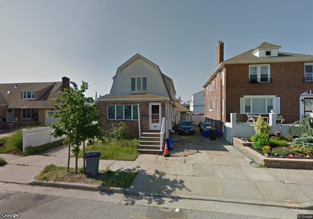
638 E Walnut St Long Beach, NY 11561
Estimated Value: $844,647 - $1,046,000
2
Beds
1
Bath
1,926
Sq Ft
$491/Sq Ft
Est. Value
About This Home
This home is located at 638 E Walnut St, Long Beach, NY 11561 and is currently estimated at $945,324, approximately $490 per square foot. 638 E Walnut St is a home located in Nassau County with nearby schools including Lido Elementary School, East Elementary School, and Lindell Elementary School.
Ownership History
Date
Name
Owned For
Owner Type
Purchase Details
Closed on
Jan 18, 2022
Sold by
Kostallas John and Kostallas Anastasia
Bought by
Kostallas Nicholas
Current Estimated Value
Purchase Details
Closed on
Jul 28, 2017
Sold by
Referee Of Nassau County and Schaffer
Bought by
Kostallas John and Kostallas Nicholas
Purchase Details
Closed on
Apr 28, 2006
Sold by
Mcgrath Karen
Bought by
Bedia Thomas
Purchase Details
Closed on
Dec 30, 1999
Sold by
Mcgrath Dennis J and Mcgrath Karen
Bought by
Mcgrath Karen
Create a Home Valuation Report for This Property
The Home Valuation Report is an in-depth analysis detailing your home's value as well as a comparison with similar homes in the area
Home Values in the Area
Average Home Value in this Area
Purchase History
| Date | Buyer | Sale Price | Title Company |
|---|---|---|---|
| Kostallas Nicholas | -- | Home Abstract Corp | |
| Kostallas Nicholas | -- | Home Abstract Corp | |
| Kostallas Nicholas | -- | Home Abstract Corp | |
| Kostallas John | $41,000 | None Available | |
| Kostallas John | $41,000 | None Available | |
| Kostallas John | $41,000 | None Available | |
| Bedia Thomas | $560,000 | -- | |
| Bedia Thomas | $560,000 | -- | |
| Mcgrath Karen | -- | Fidelity National Title Ins | |
| Mcgrath Karen | -- | Fidelity National Title Ins |
Source: Public Records
Mortgage History
| Date | Status | Borrower | Loan Amount |
|---|---|---|---|
| Closed | Kostallas John | $0 |
Source: Public Records
Tax History
| Year | Tax Paid | Tax Assessment Tax Assessment Total Assessment is a certain percentage of the fair market value that is determined by local assessors to be the total taxable value of land and additions on the property. | Land | Improvement |
|---|---|---|---|---|
| 2025 | $9,100 | $632 | $243 | $389 |
| 2024 | $1,135 | $641 | $247 | $394 |
Source: Public Records
Map
Nearby Homes
- 714 E Park Ave
- 215 Roosevelt Blvd
- 136 Taft Ave
- 538 E Park Ave
- 134 Coolidge Ave
- 549 E Olive St
- 27 Kerrigan St
- 535 E Olive St
- 804 E Chester St
- 7 Vinton St
- 806 E Chester St
- 128 Belmont Ave
- 107 Pacific Blvd
- 140 Mitchell Ave
- 113 Belmont Ave
- 51 Forester St
- 711 Shore Rd Unit 2C
- 711 Shore Rd Unit 3B
- 711 Shore Rd Unit 1J
- 711 Shore Rd Unit 3C
- 638 E Walnut St Unit Upper
- 638 E Walnut St Unit 2
- 634 E Walnut St
- 634 E Walnut St
- 634 E Walnut St Unit upper
- 634 E Walnut St Unit Main
- 642 E Walnut St
- 624 E Walnut St
- 624 E Walnut St Unit upper
- 624 E Walnut St Unit Lower
- 641 E Olive St Unit Upper
- 641 E Olive St
- 645 E Olive St
- 635 E Olive St
- 635 E Olive St Unit 1
- 649 E Olive St
- 629 E Olive St
- 629 E Olive St Unit Upper
- 635 E Walnut St
- 635 E Walnut St Unit Upper
Your Personal Tour Guide
Ask me questions while you tour the home.