638 Talc Mine Rd Murphy, NC 28906
Estimated Value: $445,417 - $648,000
3
Beds
3
Baths
3,437
Sq Ft
$159/Sq Ft
Est. Value
About This Home
This home is located at 638 Talc Mine Rd, Murphy, NC 28906 and is currently estimated at $546,604, approximately $159 per square foot. 638 Talc Mine Rd is a home located in Cherokee County with nearby schools including Murphy Elementary School, Murphy Middle School, and Murphy High School.
Ownership History
Date
Name
Owned For
Owner Type
Purchase Details
Closed on
Jul 14, 2017
Sold by
Lovingood Alton Jack and Lovingood Sonia W
Bought by
Crapse Harold Leroy
Current Estimated Value
Home Financials for this Owner
Home Financials are based on the most recent Mortgage that was taken out on this home.
Original Mortgage
$273,600
Outstanding Balance
$227,315
Interest Rate
3.89%
Mortgage Type
New Conventional
Estimated Equity
$319,289
Purchase Details
Closed on
Jun 1, 1994
Bought by
Lovingood Alton Jack and Lovingood W
Create a Home Valuation Report for This Property
The Home Valuation Report is an in-depth analysis detailing your home's value as well as a comparison with similar homes in the area
Home Values in the Area
Average Home Value in this Area
Purchase History
| Date | Buyer | Sale Price | Title Company |
|---|---|---|---|
| Crapse Harold Leroy | $288,000 | None Available | |
| Lovingood Alton Jack | $16,000 | -- |
Source: Public Records
Mortgage History
| Date | Status | Borrower | Loan Amount |
|---|---|---|---|
| Open | Crapse Harold Leroy | $273,600 |
Source: Public Records
Tax History
| Year | Tax Paid | Tax Assessment Tax Assessment Total Assessment is a certain percentage of the fair market value that is determined by local assessors to be the total taxable value of land and additions on the property. | Land | Improvement |
|---|---|---|---|---|
| 2025 | $2,137 | $285,060 | $0 | $0 |
| 2024 | $21 | $285,060 | $0 | $0 |
| 2023 | $2,126 | $285,060 | $0 | $0 |
| 2022 | $2,126 | $285,060 | $0 | $0 |
| 2021 | $1,787 | $285,060 | $20,000 | $265,060 |
| 2020 | $1,670 | $285,060 | $0 | $0 |
| 2019 | $1,469 | $221,390 | $0 | $0 |
| 2018 | $1,470 | $221,390 | $0 | $0 |
| 2017 | $1,497 | $221,540 | $0 | $0 |
| 2016 | $1,500 | $221,540 | $0 | $0 |
| 2015 | $1,502 | $221,540 | $35,000 | $186,540 |
| 2012 | -- | $221,540 | $35,000 | $186,540 |
Source: Public Records
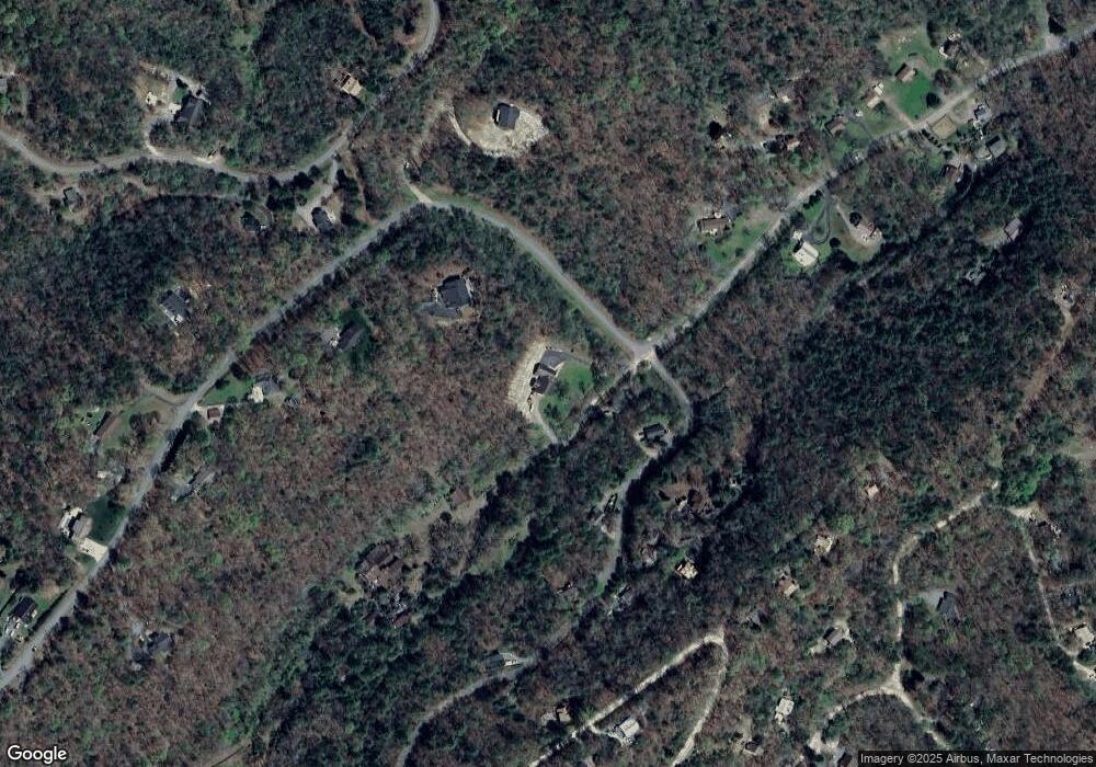
Map
Nearby Homes
- 00 Robin Rd & Wren Ln
- 00 Robin Rd
- 33 Hundred Acre Woods Dr
- 67 Hundred Acre Woods Dr
- Lot 12 Smokin Ridge
- 325 Trickling Branch Way
- 12-4 Cardinal Rd
- 1033 Cardinal Rd
- Lot 127 Timber Ridge Dr
- 96 Holiday Dr
- 43 Hitchcock St
- 420 W Ridge Dr
- 389 Skyview Acres Dr
- 0 Skyview Acres Dr Unit 153407
- 0 Skyview Acres Dr Unit 417622
- Lot 10 Holly Hill Ridge
- 0 Trillium Trail
- 000 Trillium Trail
- Lt 527-4 Farmers Top Dr
- Lt 527-3 Farmers Top Dr
- 638 Talc Mine Dr
- 638 Talc Mine Dr
- 638 Talc Mine Dr Unit 3
- 195 Tarheel West Dr
- 58 Warren Dr Unit 1A
- LOT 3 Tract 1 Warren Dr
- 30 Warren Dr
- 195 Tarheel Dr W
- 118 Warren Dr
- 29 Loblolly Ct
- 45 Loblolly Ct
- 150 Warren Dr
- 79 Loblolly Ct
- 79 Loblolly Ct Unit 5
- 79 Loblolly Ct
- 500 Talc Mine Rd
- 159 Warren Dr
- 42 Loblolly Ct
- 640 Talc Mine Dr
- 150 Tarheel West Dr
Your Personal Tour Guide
Ask me questions while you tour the home.