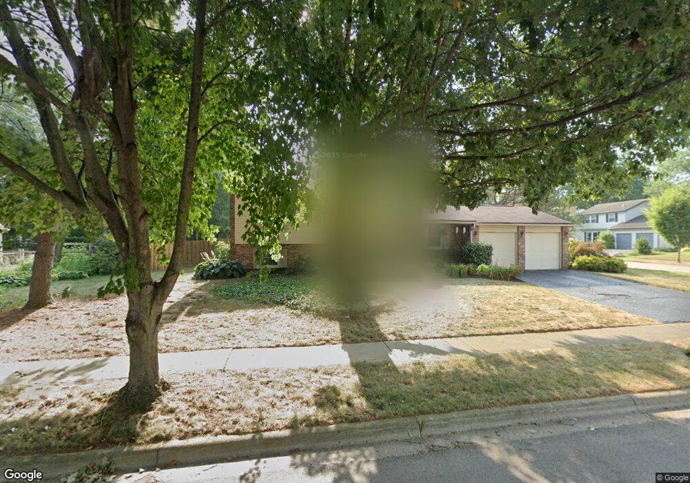
6384 Amston Dr Dublin, OH 43017
Riverside NeighborhoodEstimated Value: $339,000 - $369,000
About This Home
This home is located at 6384 Amston Dr, Dublin, OH 43017 and is currently estimated at $354,285, approximately $272 per square foot. 6384 Amston Dr is a home located in Franklin County with nearby schools including Riverside Elementary School, Ann Simpson Davis Middle School, and Dublin Scioto High School.
Ownership History
We collect this data history from publicly available records. To have your information removed, we recommend requesting removal directly through your county’s website.
Purchase Details
Purchase Details
Home Financials for this Owner
Home Financials are based on the most recent Mortgage that was taken out on this home.Purchase Details
Home Financials for this Owner
Home Financials are based on the most recent Mortgage that was taken out on this home.Purchase Details
Purchase Details
Purchase Details
Home Values in the Area
Average Home Value in this Area
Purchase History
We collect this data history from publicly available records. To have your information removed, we recommend requesting removal directly through your county’s website.
| Date | Buyer | Sale Price | Title Company |
|---|---|---|---|
| -- | Fati | ||
| $149,300 | Title First | ||
| $118,900 | -- | ||
| $86,600 | -- | ||
| $81,300 | -- | ||
| $74,300 | -- |
Mortgage History
We collect this data history from publicly available records. To have your information removed, we recommend requesting removal directly through your county’s website.
| Date | Status | Borrower | Loan Amount |
|---|---|---|---|
| Open | $148,129 | ||
| Previous Owner | $88,900 |
Tax History
We collect this data history from publicly available records. To have your information removed, we recommend requesting removal directly through your county’s website.
| Year | Tax Paid | Tax Assessment Tax Assessment Total Assessment is a certain percentage of the fair market value that is determined by local assessors to be the total taxable value of land and additions on the property. | Land | Improvement |
|---|---|---|---|---|
| 2025 | $5,881 | $97,230 | $38,220 | $59,010 |
| 2024 | $5,881 | $97,230 | $38,220 | $59,010 |
| 2023 | $5,798 | $97,230 | $38,220 | $59,010 |
| 2022 | $4,916 | $76,620 | $35,840 | $40,780 |
| 2021 | $4,996 | $76,620 | $35,840 | $40,780 |
| 2020 | $4,966 | $76,620 | $35,840 | $40,780 |
| 2019 | $4,315 | $58,940 | $27,580 | $31,360 |
| 2018 | $4,105 | $58,940 | $27,580 | $31,360 |
| 2017 | $3,984 | $58,940 | $27,580 | $31,360 |
| 2016 | $3,854 | $53,560 | $17,820 | $35,740 |
| 2015 | $3,878 | $53,560 | $17,820 | $35,740 |
| 2014 | $3,882 | $53,560 | $17,820 | $35,740 |
| 2013 | $1,876 | $50,995 | $16,975 | $34,020 |
Map
- 6352 Shaftsbury Ln
- 6349 Emberwood Rd
- 3098 Grange Hill Place
- 2960 Sawdust Ln Unit 2960
- 2950 Charmwood Ct
- 2942 Sawdust Ln Unit 2942
- 6171 Water Bank St
- 6188 Michaelkenney Ln
- 3327 Wolf Ridge Dr
- 5965 Buffalo Head Trail
- 6841 Riverside Glen Ct
- 6478 Reflections Dr Unit C
- 6550 Reflections Dr Unit C
- 6546 Reflections Dr Unit D
- 6310 Riverside Dr
- 3268 Newgate Ct Unit 3268
- 3266 Newgate Ct
- 4231 Hertford Ln
- 2905 W Case Rd
- 5735 Newbank Cir Unit 101
- 3130 Wakeshire Dr
- 6398 Amston Dr
- 3122 Wakeshire Dr
- 6389 Amston Dr
- 6381 Amston Dr
- 3139 Wakeshire Dr
- 3131 Wakeshire Dr
- 6373 Amston Dr
- 6401 Amston Dr
- 3110 Wakeshire Dr
- 3123 Wakeshire Dr
- 3113 Hamden Ct
- 6365 Amston Dr
- 3131 Cranston Dr
- 3115 Wakeshire Dr
- 286 Cranston Dr
- 3177 Cranston Dr
- 3196 Leesville Way
- 3100 Wakeshire Dr
- 3190 Leesville Way
Ask me questions while you tour the home.