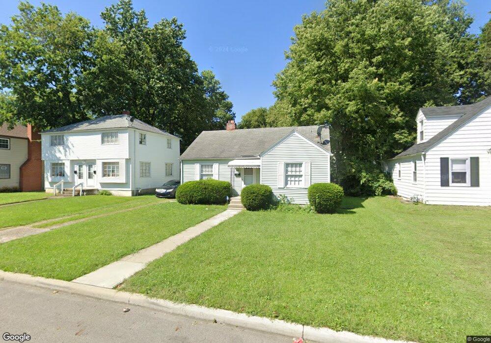
639 Rhoads Ave Columbus, OH 43205
South of Main NeighborhoodEstimated Value: $121,000 - $161,601
2
Beds
1
Bath
888
Sq Ft
$160/Sq Ft
Est. Value
About This Home
This home is located at 639 Rhoads Ave, Columbus, OH 43205 and is currently estimated at $142,150, approximately $160 per square foot. 639 Rhoads Ave is a home located in Franklin County with nearby schools including Ohio Avenue Elementary School, Champion Middle School, and East High School.
Ownership History
Date
Name
Owned For
Owner Type
Purchase Details
Closed on
Mar 28, 2017
Sold by
Carrico George
Bought by
Hoover Lawrence
Current Estimated Value
Home Financials for this Owner
Home Financials are based on the most recent Mortgage that was taken out on this home.
Original Mortgage
$34,366
Outstanding Balance
$28,453
Interest Rate
4.37%
Mortgage Type
FHA
Estimated Equity
$113,697
Purchase Details
Closed on
Dec 3, 2008
Sold by
Carrico George R and Carrico Nancy L
Bought by
Carrico George
Purchase Details
Closed on
Mar 1, 1987
Create a Home Valuation Report for This Property
The Home Valuation Report is an in-depth analysis detailing your home's value as well as a comparison with similar homes in the area
Home Values in the Area
Average Home Value in this Area
Purchase History
| Date | Buyer | Sale Price | Title Company |
|---|---|---|---|
| Hoover Lawrence | $35,000 | None Available | |
| Carrico George | -- | Attorney | |
| -- | $29,900 | -- |
Source: Public Records
Mortgage History
| Date | Status | Borrower | Loan Amount |
|---|---|---|---|
| Open | Hoover Lawrence | $34,366 |
Source: Public Records
Tax History
| Year | Tax Paid | Tax Assessment Tax Assessment Total Assessment is a certain percentage of the fair market value that is determined by local assessors to be the total taxable value of land and additions on the property. | Land | Improvement |
|---|---|---|---|---|
| 2025 | $1,863 | $41,510 | $22,050 | $19,460 |
| 2024 | $1,863 | $41,510 | $22,050 | $19,460 |
| 2023 | $1,839 | $41,510 | $22,050 | $19,460 |
| 2022 | $750 | $14,460 | $2,030 | $12,430 |
| 2021 | $751 | $14,460 | $2,030 | $12,430 |
| 2020 | $752 | $14,460 | $2,030 | $12,430 |
| 2019 | $730 | $12,040 | $1,680 | $10,360 |
| 2018 | $727 | $12,040 | $1,680 | $10,360 |
| 2017 | $807 | $12,040 | $1,680 | $10,360 |
| 2016 | $865 | $11,730 | $3,010 | $8,720 |
| 2015 | $726 | $11,730 | $3,010 | $8,720 |
| 2014 | $727 | $11,730 | $3,010 | $8,720 |
| 2013 | $378 | $12,355 | $3,185 | $9,170 |
Source: Public Records
Map
Nearby Homes
- 601 Rhoads Ave
- 572 Bulen Ave
- 758 Bulen Ave
- 544 Seymour Ave
- 623 Seymour Ave
- 1707 E Main St Unit 1705
- 711 Seymour Ave
- 1751 Bide A Wee Park Ave
- 423 Stoddart Ave
- 378-380 Stoddart Ave
- 415-417 Morrison Ave
- 403 Morrison Ave
- 768 Berkeley Rd
- 0 Lilley Ave
- 778 Berkeley Rd
- 782 Berkeley Rd
- 551 Lilley Ave
- 605-611 Lilley Ave
- 1703 Bryden Rd
- 389-391 Berkeley Rd Unit 391
- 645 Rhoads Ave Unit 647
- 633 Rhoads Ave
- 645-647 Rhoads Ave
- 1825 E Fulton St
- 653 Rhoads Ave
- 651 Rhoads Ave Unit 653
- 651-653 Rhoads Ave
- 1819 E Fulton St
- 619 Rhoads Ave
- 659 Rhoads Ave
- 640 Rhoads Ave
- 646 Rhoads Ave
- 634 Rhoads Ave
- 1811 E Fulton St
- 652 Rhoads Ave Unit 654
- 652-654 Rhoads Ave
- 1826 E Fulton St
- 667 Rhoads Ave
- 665 Rhoads Ave Unit 667
- 665-667 Rhoads Ave
Your Personal Tour Guide
Ask me questions while you tour the home.