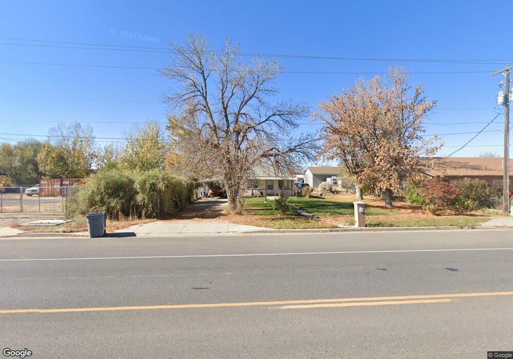
64 S 1600 W Mapleton, UT 84664
Estimated Value: $419,000 - $837,000
2
Beds
1
Bath
864
Sq Ft
$644/Sq Ft
Est. Value
About This Home
This home is located at 64 S 1600 W, Mapleton, UT 84664 and is currently estimated at $556,648, approximately $644 per square foot. 64 S 1600 W is a home located in Utah County with nearby schools including Maple Ridge Elementary, Mapleton Junior High School, and Maple Mountain High School.
Ownership History
Date
Name
Owned For
Owner Type
Purchase Details
Closed on
Feb 19, 2025
Sold by
Perry Robert B
Bought by
Robert Perry Trust and Perry
Current Estimated Value
Purchase Details
Closed on
Jun 2, 2017
Sold by
Halverson Boyd M and Halverson Edward Joe
Bought by
Perry Robert B
Purchase Details
Closed on
Jun 25, 2007
Sold by
Kissell Doris Barbara and Kissel Doris Barbara
Bought by
Kissel Doris Barbara Halverson
Purchase Details
Closed on
Aug 16, 2000
Sold by
Steele Rosmarie Halverson and Kissell Doris Barbara
Bought by
Perry Robert B
Create a Home Valuation Report for This Property
The Home Valuation Report is an in-depth analysis detailing your home's value as well as a comparison with similar homes in the area
Home Values in the Area
Average Home Value in this Area
Purchase History
| Date | Buyer | Sale Price | Title Company |
|---|---|---|---|
| Robert Perry Trust | -- | None Listed On Document | |
| Perry Robert B | -- | Provo Land Title Co | |
| Kissel Doris Barbara Halverson | -- | None Available | |
| Perry Robert B | -- | Security Title & Abstract |
Source: Public Records
Tax History
| Year | Tax Paid | Tax Assessment Tax Assessment Total Assessment is a certain percentage of the fair market value that is determined by local assessors to be the total taxable value of land and additions on the property. | Land | Improvement |
|---|---|---|---|---|
| 2025 | $1,965 | $211,530 | -- | -- |
| 2024 | $1,965 | $192,500 | $0 | $0 |
| 2023 | $1,949 | $192,170 | $0 | $0 |
| 2022 | $1,992 | $194,205 | $0 | $0 |
| 2021 | $1,567 | $234,500 | $160,900 | $73,600 |
| 2020 | $1,492 | $216,000 | $142,400 | $73,600 |
| 2019 | $1,364 | $201,600 | $137,600 | $64,000 |
| 2018 | $1,260 | $177,300 | $113,300 | $64,000 |
| 2017 | $1,149 | $85,745 | $0 | $0 |
| 2016 | $0 | $75,900 | $0 | $0 |
| 2015 | -- | $71,170 | $0 | $0 |
| 2014 | -- | $67,705 | $0 | $0 |
Source: Public Records
Map
Nearby Homes
- 1780 W Maple St
- 2652 W Maple St Unit 281
- 1655 W 200 S Unit A
- 1656 W 300 S Unit B
- 216 N 1750 W
- 1810 W 300 S Unit D
- 203 N 1900 W
- 1222 W 190 N
- 1272 W 220 N
- 262 N Santa fe Dr
- 715 W 4600 S Unit Lot I303
- 715 W 4600 S Unit Lot I304
- 281 N Pheasant Dr
- 1142 W 220 N
- 415 S 1200 W
- 293 N Pheasant Dr
- 1631 W Century Ln Unit B
- 2216 W Silver Leaf Dr Unit 35
- 141 N Pinnacle Ave
- 1512 W 600 N Unit 4
- 1655 W Maple St
- 50 S 1600 W
- 10 S 1600 W
- 1685 W Maple St
- 15 N 1600 W
- 170 S 1600 W
- 103 S 1600 W
- 1650 W Maple St
- 1672 W 200 S Unit A
- 1672 W 200 S Unit C
- 1672 W 200 S Unit B
- 1672 W 200 S Unit D
- 1690 W Maple St
- 33 N 1600 W
- 1785 W Maple St
- 1720 W Maple St
- 125 S 1600 W
- 1722 W 200 S
- 1722 W 200 S Unit D
- 1722 W 200 S Unit D
Your Personal Tour Guide
Ask me questions while you tour the home.