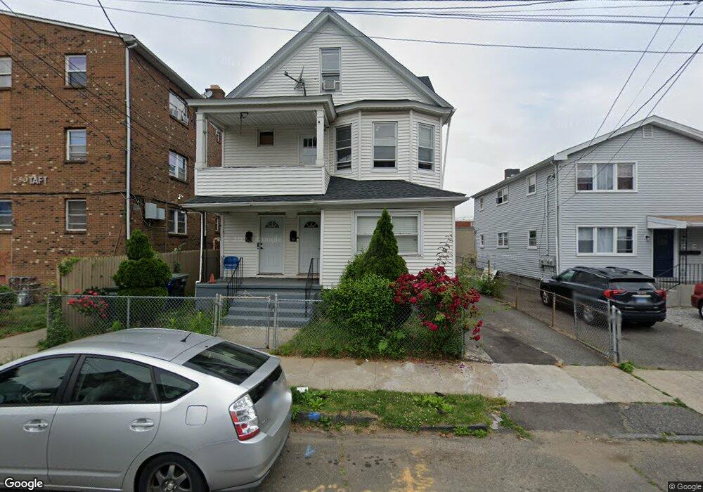
64 Taft Ave Unit 66 Bridgeport, CT 06606
Brooklawn-Saint Vincent NeighborhoodEstimated Value: $412,738 - $618,000
4
Beds
2
Baths
2,236
Sq Ft
$227/Sq Ft
Est. Value
About This Home
This home is located at 64 Taft Ave Unit 66, Bridgeport, CT 06606 and is currently estimated at $508,685, approximately $227 per square foot. 64 Taft Ave Unit 66 is a home located in Fairfield County with nearby schools including Geraldine Johnson School, Central High School, and Catholic Academy of Bridgeport-St. Raphael Academy.
Ownership History
Date
Name
Owned For
Owner Type
Purchase Details
Closed on
Jul 15, 1999
Sold by
Dmowski Kevin
Bought by
Ellis Ilsington R
Current Estimated Value
Create a Home Valuation Report for This Property
The Home Valuation Report is an in-depth analysis detailing your home's value as well as a comparison with similar homes in the area
Home Values in the Area
Average Home Value in this Area
Purchase History
| Date | Buyer | Sale Price | Title Company |
|---|---|---|---|
| Ellis Ilsington R | $95,000 | -- | |
| Ellis Ilsington R | $95,000 | -- |
Source: Public Records
Mortgage History
| Date | Status | Borrower | Loan Amount |
|---|---|---|---|
| Open | Ellis Ilsington R | $292,000 | |
| Closed | Ellis Ilsington R | $203,000 | |
| Closed | Ellis Ilsington R | $171,000 | |
| Closed | Ellis Ilsington R | $106,500 |
Source: Public Records
Tax History
| Year | Tax Paid | Tax Assessment Tax Assessment Total Assessment is a certain percentage of the fair market value that is determined by local assessors to be the total taxable value of land and additions on the property. | Land | Improvement |
|---|---|---|---|---|
| 2025 | $6,654 | $153,140 | $67,350 | $85,790 |
| 2024 | $6,654 | $153,140 | $67,350 | $85,790 |
| 2023 | $6,654 | $153,140 | $67,350 | $85,790 |
| 2022 | $6,654 | $153,140 | $67,350 | $85,790 |
| 2021 | $6,654 | $153,140 | $67,350 | $85,790 |
| 2020 | $5,698 | $105,540 | $40,820 | $64,720 |
| 2019 | $5,698 | $105,540 | $40,820 | $64,720 |
| 2018 | $5,738 | $105,540 | $40,820 | $64,720 |
| 2017 | $5,738 | $105,540 | $40,820 | $64,720 |
| 2016 | $5,738 | $105,540 | $40,820 | $64,720 |
| 2015 | $5,770 | $136,720 | $43,230 | $93,490 |
| 2014 | $5,770 | $136,720 | $43,230 | $93,490 |
Source: Public Records
Map
Nearby Homes
- 23-25 Morgan Ave
- 78 Fairmount Ave
- 356 Madison Terrace
- 2078 Park Ave Unit 2082
- 1522 North Ave
- 493 W Taft Ave
- 523 W Jackson Ave
- 92 Lincoln Ave
- 130 Holroyd St
- 85-89 Alexander Dr
- 318 Center St
- 155 Marion St
- 248 Salem St
- 125-127 Alexander Dr
- 25 Myron Ave
- 11 Myron Ave
- 1515 Capitol Ave Unit 1517
- 660 W Jackson Ave
- 345 Capitol Ave
- 1554 Capitol Ave
- 58 Taft Ave
- 56 Taft Ave Unit 58
- 46 Taft Ave Unit 48
- 48 Taft Ave
- 46-48 Taft Ave Unit 1
- 46-48 Taft Ave
- 80 Taft Ave Unit 18
- 80 Taft Ave Unit 17
- 80 Taft Ave Unit 16
- 80 Taft Ave Unit 15
- 80 Taft Ave Unit 14
- 80 Taft Ave Unit 13
- 80 Taft Ave Unit 12
- 80 Taft Ave Unit 11
- 80 Taft Ave Unit 10
- 80 Taft Ave Unit 9
- 80 Taft Ave Unit 8
- 80 Taft Ave Unit 7
- 80 Taft Ave Unit 6
- 80 Taft Ave Unit 5
Your Personal Tour Guide
Ask me questions while you tour the home.