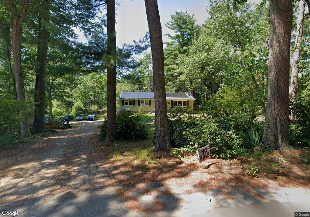
64 Timothy Ln Carlisle, MA 01741
Estimated Value: $811,000 - $1,027,000
3
Beds
3
Baths
1,976
Sq Ft
$459/Sq Ft
Est. Value
About This Home
This home is located at 64 Timothy Ln, Carlisle, MA 01741 and is currently estimated at $907,634, approximately $459 per square foot. 64 Timothy Ln is a home located in Middlesex County with nearby schools including Carlisle School and Concord Carlisle High School.
Create a Home Valuation Report for This Property
The Home Valuation Report is an in-depth analysis detailing your home's value as well as a comparison with similar homes in the area
Home Values in the Area
Average Home Value in this Area
Tax History
| Year | Tax Paid | Tax Assessment Tax Assessment Total Assessment is a certain percentage of the fair market value that is determined by local assessors to be the total taxable value of land and additions on the property. | Land | Improvement |
|---|---|---|---|---|
| 2025 | $9,356 | $709,900 | $558,000 | $151,900 |
| 2024 | $9,338 | $700,500 | $514,400 | $186,100 |
| 2023 | $9,359 | $661,400 | $509,900 | $151,500 |
| 2022 | $9,598 | $581,700 | $418,800 | $162,900 |
| 2021 | $16,471 | $576,600 | $418,800 | $157,800 |
| 2020 | $15,982 | $489,500 | $331,700 | $157,800 |
| 2019 | $8,816 | $482,000 | $331,700 | $150,300 |
| 2018 | $8,642 | $475,600 | $331,700 | $143,900 |
| 2017 | $8,380 | $475,600 | $331,700 | $143,900 |
| 2016 | $7,855 | $456,700 | $331,700 | $125,000 |
| 2015 | $7,708 | $405,700 | $318,600 | $87,100 |
| 2014 | $7,562 | $405,700 | $318,600 | $87,100 |
Source: Public Records
Map
Nearby Homes
- 234 Tophet Rd
- 61 Meadowbrook Rd
- 5 Lowell St Unit 5
- 225 Lowell St
- 3 Oak Knoll Rd
- 384 River Rd
- 204 Nashua Rd
- 16 Garrison Way
- 389 River Rd
- 5 Sherwood Dr
- 58 Johnson Rd
- 210 Monument Farm Rd
- 215 Monument Farm Rd
- 4 Arbella Rd Unit 67
- 397 Concord Rd
- 305 Concord Rd Unit 2
- 167 South St
- 262 South St
- 1437-3 Monument St
- 1409 Monument St
Your Personal Tour Guide
Ask me questions while you tour the home.