64 Wilson Rd Litchfield, CT 06759
Estimated Value: $455,000 - $579,000
3
Beds
4
Baths
1,836
Sq Ft
$268/Sq Ft
Est. Value
About This Home
This home is located at 64 Wilson Rd, Litchfield, CT 06759 and is currently estimated at $491,546, approximately $267 per square foot. 64 Wilson Rd is a home located in Litchfield County with nearby schools including Center School, Litchfield Intermediate School, and Litchfield High School.
Ownership History
Date
Name
Owned For
Owner Type
Purchase Details
Closed on
Feb 5, 2026
Sold by
Trusz Michael and Trusz Sondra J
Bought by
Trusz Michael and Trusz Sondra J
Current Estimated Value
Purchase Details
Closed on
Mar 23, 1993
Sold by
Tyrrell George and Tyrrell Elaine
Bought by
Trusz Michael and Trusz Sondra
Home Financials for this Owner
Home Financials are based on the most recent Mortgage that was taken out on this home.
Original Mortgage
$135,840
Interest Rate
7.75%
Mortgage Type
Purchase Money Mortgage
Create a Home Valuation Report for This Property
The Home Valuation Report is an in-depth analysis detailing your home's value as well as a comparison with similar homes in the area
Home Values in the Area
Average Home Value in this Area
Purchase History
| Date | Buyer | Sale Price | Title Company |
|---|---|---|---|
| Trusz Michael | -- | -- | |
| Trusz Michael | $169,800 | -- |
Source: Public Records
Mortgage History
| Date | Status | Borrower | Loan Amount |
|---|---|---|---|
| Previous Owner | Trusz Michael | $91,800 | |
| Previous Owner | Trusz Michael | $135,840 | |
| Previous Owner | Trusz Michael | $150,000 |
Source: Public Records
Tax History
| Year | Tax Paid | Tax Assessment Tax Assessment Total Assessment is a certain percentage of the fair market value that is determined by local assessors to be the total taxable value of land and additions on the property. | Land | Improvement |
|---|---|---|---|---|
| 2025 | $5,913 | $295,670 | $69,210 | $226,460 |
| 2024 | $5,470 | $295,670 | $69,210 | $226,460 |
| 2023 | $5,352 | $200,450 | $62,770 | $137,680 |
| 2022 | $5,372 | $200,450 | $62,770 | $137,680 |
| 2021 | $5,532 | $200,450 | $62,770 | $137,680 |
| 2020 | $5,552 | $200,450 | $62,770 | $137,680 |
| 2019 | $5,653 | $200,450 | $62,770 | $137,680 |
| 2018 | $5,723 | $206,610 | $81,690 | $124,920 |
| 2017 | $5,702 | $206,610 | $81,690 | $124,920 |
| 2016 | $5,516 | $206,610 | $81,690 | $124,920 |
| 2015 | -- | $206,610 | $81,690 | $124,920 |
| 2014 | $5,207 | $206,610 | $81,690 | $124,920 |
Source: Public Records
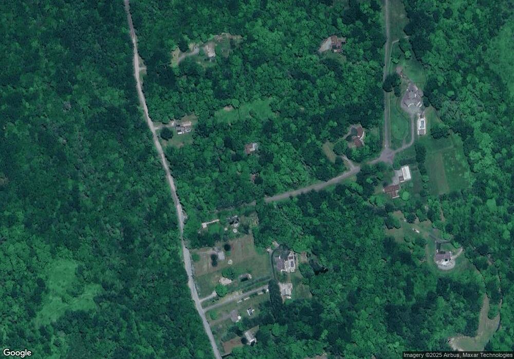
Map
Nearby Homes
- 83 Chelsea Ct
- 0 Sally Burr Rd
- 405 Hunter Dr Unit 405
- 86 Hyde St
- 294 Hunter Dr Unit 294
- 258 Hunter Dr Unit 258
- 250 Hunter Dr Unit 250
- 3 Sally Burr Rd
- 136 Peck Rd
- 971 New Litchfield St
- 19 Hillcrest St
- 80 Baron Ln
- 112 Greenfield Dr
- 85 Ford Ln
- 7 Ford Ln
- 140 Homestead Rd
- 129 Oakbrook Ln
- 398 Funston Ave
- 184 Fern Ave
- 155 Allen Rd
Your Personal Tour Guide
Ask me questions while you tour the home.