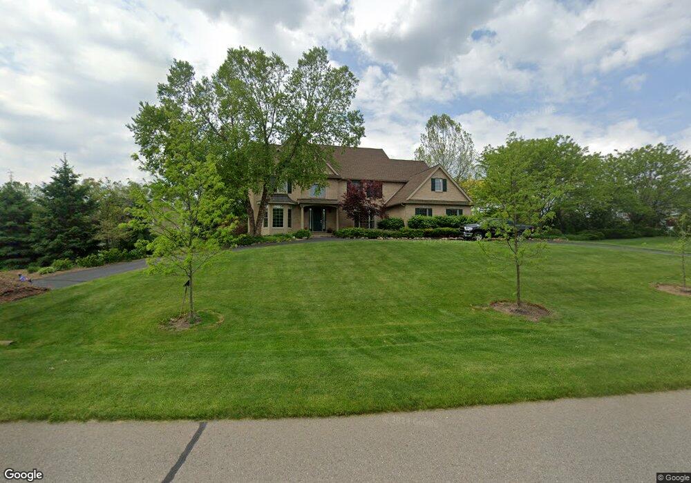
6400 Brookview Dr Saline, MI 48176
Estimated Value: $949,000 - $1,214,000
3
Beds
4
Baths
4,578
Sq Ft
$229/Sq Ft
Est. Value
About This Home
This home is located at 6400 Brookview Dr, Saline, MI 48176 and is currently estimated at $1,050,611, approximately $229 per square foot. 6400 Brookview Dr is a home located in Washtenaw County with nearby schools including Woodland Meadows Elementary School, Heritage School, and Saline Middle School.
Ownership History
Date
Name
Owned For
Owner Type
Purchase Details
Closed on
Mar 31, 2005
Sold by
Wexford Builders Inc
Bought by
Reeves Jimmie A and Reeves Pamela J
Current Estimated Value
Home Financials for this Owner
Home Financials are based on the most recent Mortgage that was taken out on this home.
Original Mortgage
$639,800
Outstanding Balance
$328,662
Interest Rate
5.71%
Estimated Equity
$721,949
Purchase Details
Closed on
Aug 19, 2003
Sold by
Burr Oak Partners Iii
Bought by
Wexford Builders Inc
Create a Home Valuation Report for This Property
The Home Valuation Report is an in-depth analysis detailing your home's value as well as a comparison with similar homes in the area
Home Values in the Area
Average Home Value in this Area
Purchase History
We collect this data history from publicly available records. To have your information removed, we recommend requesting removal directly through your county’s website.
| Date | Buyer | Sale Price | Title Company |
|---|---|---|---|
| Reeves Jimmie A | -- | -- | |
| Wexford Builders Inc | -- | Liberty Title Agency |
Source: Public Records
Mortgage History
We collect this data history from publicly available records. To have your information removed, we recommend requesting removal directly through your county’s website.
| Date | Status | Borrower | Loan Amount |
|---|---|---|---|
| Open | Reeves Jimmie A | $639,800 |
Source: Public Records
Tax History
| Year | Tax Paid | Tax Assessment Tax Assessment Total Assessment is a certain percentage of the fair market value that is determined by local assessors to be the total taxable value of land and additions on the property. | Land | Improvement |
|---|---|---|---|---|
| 2025 | $11,800 | $507,335 | $0 | $0 |
| 2024 | $11,466 | $485,786 | $0 | $0 |
| 2023 | $10,940 | $405,600 | $0 | $0 |
| 2022 | $14,525 | $391,500 | $0 | $0 |
| 2021 | $14,115 | $387,400 | $0 | $0 |
| 2020 | $13,539 | $381,200 | $0 | $0 |
| 2019 | $13,193 | $386,000 | $386,000 | $0 |
| 2018 | $12,018 | $363,800 | $0 | $0 |
| 2017 | $11,463 | $351,800 | $0 | $0 |
| 2016 | $8,500 | $297,869 | $0 | $0 |
| 2015 | -- | $296,979 | $0 | $0 |
| 2014 | -- | $287,700 | $0 | $0 |
| 2013 | -- | $287,700 | $0 | $0 |
Source: Public Records
Map
Nearby Homes
- 6345 Brookview Dr
- 631 Gretchen Ln
- 698 Gretchen Ln
- 688 Gretchen Ln
- 751 Haywood Dr
- 1819 Brookview Dr
- 672 Gretchen Ln
- 676 Gretchen Ln
- 795 Ford Mill Dr
- 1835 Brookview Dr
- 1453 Maplewood Dr
- 848 Kuss Dr
- 826 Kuss Dr
- 873 Risdon Trail S
- 834 Risdon Trail S
- 430 Cottonwood Ln Unit 6
- 5559 Creekview Dr
- 5359 Pinnacle Ct
- 6140 Saline Ann Arbor Rd
- 5290 Pinnacle Ct Unit 16
- 6460 Brookview Dr
- 2420 Highridge Cir
- 2450 Highridge Cir
- 6445 Brookview Dr
- 6405 Brookview Dr
- 6470 Brookview Dr
- 6425 Brookview Dr
- 6385 Brookview Dr
- 6365 Brookview Dr
- 2460 Highridge Cir
- 1736 Stoneridge Dr
- 1718 Stoneridge Dr
- 6550 N Maple Rd
- 1754 Stoneridge Dr
- 1771 Brookview Dr
- 2421 Highridge Cir
- 1772 Stoneridge Dr
- 2461 Highridge Cir
- 2451 Highridge Cir
- 6380 N Maple Rd
Your Personal Tour Guide
Ask me questions while you tour the home.