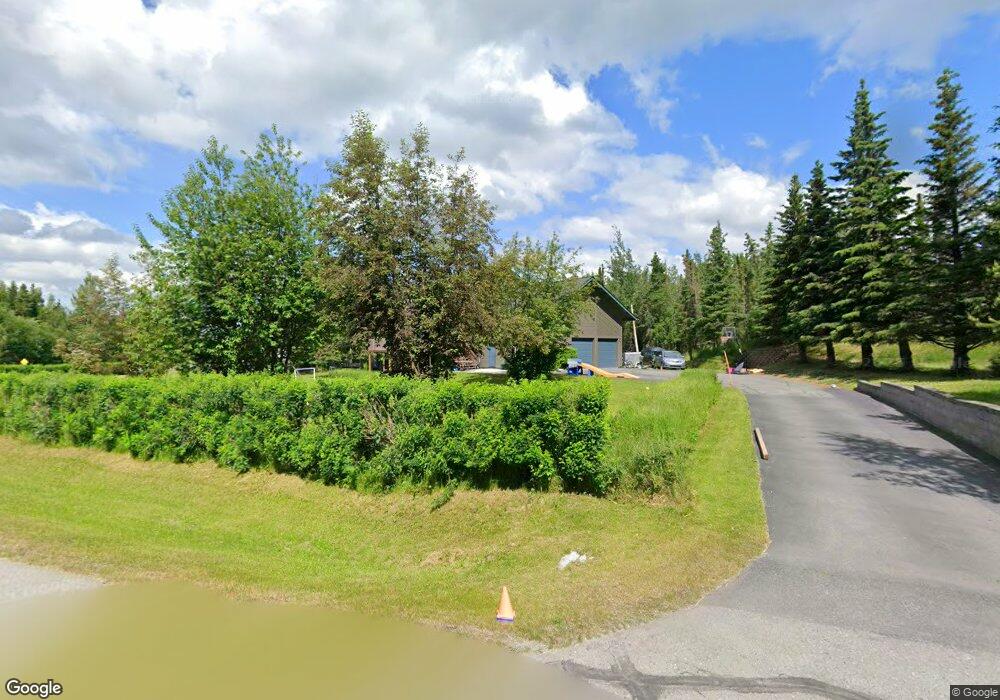
6401 Shale Cir Anchorage, AK 99507
Mid-Hillside NeighborhoodEstimated Value: $607,000 - $852,913
About This Home
This home is located at 6401 Shale Cir, Anchorage, AK 99507 and is currently estimated at $724,728, approximately $227 per square foot. 6401 Shale Cir is a home located in Anchorage Municipality with nearby schools including O'Malley Elementary School, Hanshew Middle School, and Service High School.
Ownership History
We collect this data history from publicly available records. To have your information removed, we recommend requesting removal directly through your county’s website.
Purchase Details
Home Financials for this Owner
Home Financials are based on the most recent Mortgage that was taken out on this home.Purchase Details
Home Values in the Area
Average Home Value in this Area
Purchase History
We collect this data history from publicly available records. To have your information removed, we recommend requesting removal directly through your county’s website.
| Date | Buyer | Sale Price | Title Company |
|---|---|---|---|
| -- | Sta | ||
| -- | -- |
Mortgage History
We collect this data history from publicly available records. To have your information removed, we recommend requesting removal directly through your county’s website.
| Date | Status | Borrower | Loan Amount |
|---|---|---|---|
| Open | $490,000 |
Tax History
We collect this data history from publicly available records. To have your information removed, we recommend requesting removal directly through your county’s website.
| Year | Tax Paid | Tax Assessment Tax Assessment Total Assessment is a certain percentage of the fair market value that is determined by local assessors to be the total taxable value of land and additions on the property. | Land | Improvement |
|---|---|---|---|---|
| 2025 | $7,584 | $741,300 | $168,500 | $572,800 |
| 2024 | $6,499 | $655,800 | $159,400 | $496,400 |
| 2023 | $9,540 | $609,600 | $152,600 | $457,000 |
| 2022 | $6,154 | $589,500 | $152,600 | $436,900 |
| 2021 | $9,583 | $564,700 | $152,600 | $412,100 |
| 2020 | $8,051 | $553,400 | $152,600 | $400,800 |
| 2019 | $7,573 | $546,600 | $152,600 | $394,000 |
| 2018 | $6,951 | $506,100 | $157,800 | $348,300 |
| 2017 | $7,398 | $515,200 | $157,800 | $357,400 |
| 2016 | $6,732 | $540,700 | $157,800 | $382,900 |
| 2015 | $6,732 | $507,900 | $152,600 | $355,300 |
| 2014 | $6,732 | $503,300 | $152,200 | $351,100 |
Map
- 5900 Yukon Rd
- 7102 Theresa Mae Cir
- 7300 Newby Ave
- 6142 Summit St Unit L 31
- L7 Panorama Dr
- L6 Panorama Dr
- L5 Panoramic Cir
- 112 Chelsea St
- 000 Valley View Dr
- 5014 E 98th Ave
- 6707 Double Tree Ct
- 10650 Lone Tree Dr
- 10501 Treeline Ct
- 10581 Hillside Dr
- 10100 Zermatt Cir
- 10190 Our Rd
- L3 Totem Rd
- 10960 Totem Rd
- 4243 Birch Run Dr
- 6421 Rockridge Dr
- 9231 Main Tree Dr
- 6431 Shale Cir
- 6240 Rockhill Cir
- 6501 Shale Cir
- 6420 Shale Cir
- 9201 Main Tree Dr
- L10 B4 Main Tree Dr
- L27 B2 Main Tree Dr
- 9400 Main Tree Dr
- 6333 Limestone Cir
- 6450 Shale Cir
- 6200 Rockhill Cir
- 6541 Limestone Cir
- 6531 Shale Cir
- 6301 Barry Ave
- 6551 Limestone Cir
- 6241 Rockhill Cir
- 6530 Shale Cir
- 6221 Barry Ave
- 9200 Main Tree Dr
Ask me questions while you tour the home.