6404 Carter Rd Spring Arbor, MI 49283
Estimated Value: $433,000 - $501,000
Studio
--
Bath
2,458
Sq Ft
$191/Sq Ft
Est. Value
About This Home
This home is located at 6404 Carter Rd, Spring Arbor, MI 49283 and is currently estimated at $469,083, approximately $190 per square foot. 6404 Carter Rd is a home located in Jackson County with nearby schools including Western High School, Trinity Lutheran School, and Lumen Christi Catholic School.
Ownership History
Date
Name
Owned For
Owner Type
Purchase Details
Closed on
Sep 24, 2021
Sold by
Hill Darold L and Hill Marjorie L
Bought by
Quillen Miriam J and Quillen Jason M
Current Estimated Value
Home Financials for this Owner
Home Financials are based on the most recent Mortgage that was taken out on this home.
Original Mortgage
$125,000
Outstanding Balance
$95,413
Interest Rate
2.1%
Mortgage Type
New Conventional
Estimated Equity
$373,670
Purchase Details
Closed on
Apr 21, 1998
Sold by
Martin James A and Mary Lou
Bought by
Hill Darold L and Hill Marjorie L
Purchase Details
Closed on
Mar 26, 1998
Sold by
Martin James A and Mary Lou
Bought by
Rice Jeffrey R
Create a Home Valuation Report for This Property
The Home Valuation Report is an in-depth analysis detailing your home's value as well as a comparison with similar homes in the area
Purchase History
| Date | Buyer | Sale Price | Title Company |
|---|---|---|---|
| Quillen Miriam J | $425,000 | None Available | |
| Hill Darold L | $185,000 | -- | |
| Rice Jeffrey R | -- | -- |
Source: Public Records
Mortgage History
| Date | Status | Borrower | Loan Amount |
|---|---|---|---|
| Open | Quillen Miriam J | $125,000 |
Source: Public Records
Tax History
| Year | Tax Paid | Tax Assessment Tax Assessment Total Assessment is a certain percentage of the fair market value that is determined by local assessors to be the total taxable value of land and additions on the property. | Land | Improvement |
|---|---|---|---|---|
| 2025 | $6,593 | $212,800 | $0 | $0 |
| 2024 | $39 | $210,500 | $0 | $0 |
| 2023 | $3,914 | $193,600 | $0 | $0 |
| 2022 | $5,983 | $156,700 | $0 | $0 |
| 2021 | $4,529 | $148,130 | $0 | $0 |
| 2020 | $4,475 | $145,720 | $0 | $0 |
| 2019 | $4,254 | $136,910 | $0 | $0 |
| 2018 | $4,239 | $144,390 | $19,320 | $125,070 |
| 2017 | $4,015 | $145,990 | $0 | $0 |
| 2016 | $2,562 | $129,100 | $129,100 | $0 |
| 2015 | $105,298 | $118,670 | $118,670 | $0 |
| 2014 | $105,298 | $108,940 | $0 | $0 |
| 2013 | -- | $108,940 | $108,940 | $0 |
Source: Public Records
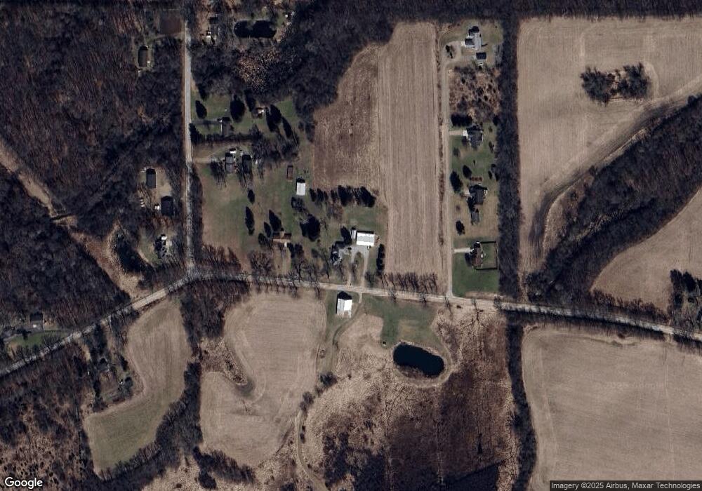
Map
Nearby Homes
- V/L S Dearing Rd Unit 40 Acres Vacant Land
- 6728 King Rd
- 7052 Gilroy Ct
- 7117 King Rd
- 5427 Vrooman Rd
- 7315 King Rd
- 68 Dickens St
- 5513 Sherwood Dr
- 8257 Lockerbie Dr
- 2503 Milford Rd
- 7969 Brandon Dr
- V/L Ikram Oaks Ln Unit 23
- V/L Ikram Oaks Ln Unit 2
- V/L Ikram Oaks Ln
- V/L Ikram Oaks Ln Unit 18
- V/L Ikram Oaks Ln Unit 1
- 5010 Ikram Oaks Ln Unit 3
- V/L Ikram Oaks Ln Unit 9
- V/L Ikram Oaks Ln Unit 24
- 5033 Ikram Oaks Ln
- 6460 Carter Rd
- 6460 Carter Rd
- 6330 Carter Rd
- 6310 Carter Rd
- 6350 Carter Rd
- 4051 Emerson Rd
- 4023 Emerson Rd
- 4118 Emerson Rd
- 6370 Carter Rd
- 4003 Emerson Rd
- 4003 Emerson Rd
- 3999 Emerson Rd
- 6535 Carter Rd
- 3701 Emerson Rd
- 6144 Carter Rd
- 6700 Carter Rd
- 6732 Carter Rd
- 6715 Carter Rd
- 4018 Moscow Rd
- 4029 Moscow Rd
Your Personal Tour Guide
Ask me questions while you tour the home.