64044 Robinson Rd Cassopolis, MI 49031
Estimated Value: $72,000 - $412,000
Studio
--
Bath
--
Sq Ft
187,744
Sq Ft Lot
About This Home
This home is located at 64044 Robinson Rd, Cassopolis, MI 49031 and is currently estimated at $242,000. 64044 Robinson Rd is a home located in Cass County with nearby schools including Sam Adams Elementary School, Cassopolis Middle School, and Cassopolis Ross Beatty High School.
Ownership History
Date
Name
Owned For
Owner Type
Purchase Details
Closed on
Dec 6, 2012
Sold by
Majewski David A and Majewski Monica J
Bought by
Irrevocable Hawkins Heather Marie and Monica J Majewski Irrevocable Trust
Current Estimated Value
Purchase Details
Closed on
Oct 30, 2006
Sold by
Majewski David A and Majewski Monica J
Bought by
Majewski Monica J and Majewski David A
Purchase Details
Closed on
May 31, 2005
Sold by
Conn Larry A and Conn Charlene M
Bought by
Majewski David A and Majewski Monica J
Create a Home Valuation Report for This Property
The Home Valuation Report is an in-depth analysis detailing your home's value as well as a comparison with similar homes in the area
Purchase History
| Date | Buyer | Sale Price | Title Company |
|---|---|---|---|
| Irrevocable Hawkins Heather Marie | -- | None Available | |
| Irrevocable Hawkins Heather Marie | -- | None Available | |
| Majewski Monica J | -- | None Available | |
| Majewski David A | $180,000 | Meridian Title Corp |
Source: Public Records
Tax History
| Year | Tax Paid | Tax Assessment Tax Assessment Total Assessment is a certain percentage of the fair market value that is determined by local assessors to be the total taxable value of land and additions on the property. | Land | Improvement |
|---|---|---|---|---|
| 2025 | $312 | $21,900 | $21,900 | $0 |
| 2024 | $129 | $19,900 | $19,900 | $0 |
| 2023 | $123 | $18,200 | $0 | $0 |
| 2022 | $117 | $18,200 | $0 | $0 |
| 2021 | $276 | $15,700 | $0 | $0 |
| 2020 | $284 | $14,900 | $0 | $0 |
| 2019 | $257 | $21,700 | $0 | $0 |
| 2018 | $108 | $21,700 | $0 | $0 |
| 2017 | $106 | $16,400 | $0 | $0 |
| 2016 | $105 | $16,400 | $0 | $0 |
| 2015 | -- | $10,000 | $0 | $0 |
| 2011 | -- | $8,978 | $0 | $0 |
Source: Public Records
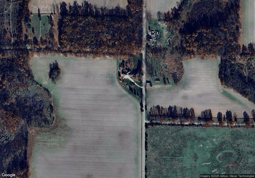
Map
Nearby Homes
- 21932 Buffalo Ln
- 21733 Puterbaugh Ln
- 23476 Jefferson Center St
- 23841 Jefferson Center St
- 21373 Sail Bay Dr
- 21557 Lake St
- 62546 Diamond View Dr
- Tract 4 Deep Woods Dr
- Tract 3 Deep Woods Dr
- Tract 1 Deep Woods Dr
- Tract 6 Brookside Ct
- Tract 5 Brookside Ct
- Tract #2 Deep Woods Dr
- 23549 Forest Shores Dr
- 0 Hilltop Ln
- 21344 Carlton Ave
- 804 Sherman Ln
- 23536 Forest Shores Dr
- 0 Forest Shores Dr Unit 22 25032452
- 0 Forest Shores Dr Unit 23 25032476
- 64044 Robinson Rd
- 64044 Robinson Rd
- 64044 Robinson Rd
- 64044 Robinson Rd
- 63962 Robinson Rd
- 63963 Robinson Rd
- 22967 Cemetery St
- 64111 Brick Church Rd
- 1 Buffalo Ln
- 2 Buffalo Ln
- 3 Buffalo Ln
- 0 Buffalo Ln
- 99999 Buffalo Ln
- VL Buffalo Ln
- V/L Buffalo Ln
- 22999 Brick Church Rd
- 22999 Brick Church Rd
- 64245 Robinson Rd
- 64275 Robinson Rd
- 22957 Cemetery St
Your Personal Tour Guide
Ask me questions while you tour the home.