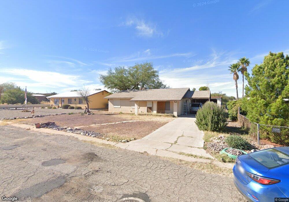
641 E Apache Cir Benson, AZ 85602
Estimated Value: $187,000 - $222,000
Studio
--
Bath
1,151
Sq Ft
$178/Sq Ft
Est. Value
About This Home
This home is located at 641 E Apache Cir, Benson, AZ 85602 and is currently estimated at $205,146, approximately $178 per square foot. 641 E Apache Cir is a home located in Cochise County with nearby schools including Benson Primary School, Benson Middle School, and Benson High School.
Ownership History
Date
Name
Owned For
Owner Type
Purchase Details
Closed on
Nov 6, 2007
Sold by
Nikitas David A and Nikitas Mariza
Bought by
Sharp Constance L
Current Estimated Value
Home Financials for this Owner
Home Financials are based on the most recent Mortgage that was taken out on this home.
Original Mortgage
$121,600
Outstanding Balance
$76,508
Interest Rate
6.36%
Mortgage Type
New Conventional
Estimated Equity
$128,638
Purchase Details
Closed on
Oct 30, 2006
Sold by
Trujillo Michael D and Trujillo Melissa
Bought by
Nikitas David A and Nikitas Mariza
Home Financials for this Owner
Home Financials are based on the most recent Mortgage that was taken out on this home.
Original Mortgage
$145,000
Interest Rate
6.28%
Mortgage Type
New Conventional
Purchase Details
Closed on
Apr 19, 2005
Sold by
Carter Roy D
Bought by
Trujillo Michael D and Trujillo Melissa
Home Financials for this Owner
Home Financials are based on the most recent Mortgage that was taken out on this home.
Original Mortgage
$117,000
Interest Rate
5.84%
Mortgage Type
New Conventional
Create a Home Valuation Report for This Property
The Home Valuation Report is an in-depth analysis detailing your home's value as well as a comparison with similar homes in the area
Home Values in the Area
Average Home Value in this Area
Purchase History
| Date | Buyer | Sale Price | Title Company |
|---|---|---|---|
| Sharp Constance L | $152,000 | Pioneer Title Agency | |
| Nikitas David A | $145,000 | Fidelity National Title | |
| Trujillo Michael D | $117,000 | Pioneer Title Agency |
Source: Public Records
Mortgage History
| Date | Status | Borrower | Loan Amount |
|---|---|---|---|
| Open | Sharp Constance L | $121,600 | |
| Previous Owner | Nikitas David A | $145,000 | |
| Previous Owner | Trujillo Michael D | $117,000 |
Source: Public Records
Tax History
| Year | Tax Paid | Tax Assessment Tax Assessment Total Assessment is a certain percentage of the fair market value that is determined by local assessors to be the total taxable value of land and additions on the property. | Land | Improvement |
|---|---|---|---|---|
| 2025 | $1,337 | $13,658 | $1,920 | $11,738 |
| 2024 | $1,337 | $12,275 | $1,920 | $10,355 |
| 2023 | $1,284 | $10,492 | $1,920 | $8,572 |
| 2022 | $1,224 | $9,437 | $1,920 | $7,517 |
| 2021 | $1,243 | $8,657 | $1,920 | $6,737 |
| 2020 | $1,233 | $0 | $0 | $0 |
| 2019 | $1,230 | $0 | $0 | $0 |
| 2018 | $1,180 | $0 | $0 | $0 |
| 2017 | $1,273 | $0 | $0 | $0 |
| 2016 | $1,168 | $0 | $0 | $0 |
| 2015 | -- | $0 | $0 | $0 |
Source: Public Records
Map
Nearby Homes
- 885 S Post Rd
- 681 E Post Rd
- 1110 S Highway 80 -- Unit 70
- 1110 Arizona 80 Unit 24
- 775 E Country Club Dr
- 1150 S Highway 80 Hwy
- 774 E Country Club Dr
- 0 S Highway 80 Unit 6938861
- 0 S Highway 80 Unit 22527745
- tbd S Hwy 80 Way
- 1110 S Hwy 80 Unit 8
- 442 E Silverwood Ln
- 536 E Silverwood Ln
- 487 E Patrick Dr
- 1256 S Lenora Loop
- 1257 S Maria Carmela Ln
- 140 W Yale Dr
- 734 S Hermosa Dr
- 801 S La Mesa Dr
- 773 S Ridge Dr
- 629 E Apache Cir
- 651 E Apache Cir
- 612 E Santa fe Cir
- 955 S Post Rd
- 1017 S Post Rd
- 624 E Santa fe Cir
- 634 E Apache Cir
- 634 E Apache Cir
- 650 E Apache Cir
- 937 S Post Rd
- 605 E Apache Cir
- 628 E Apache Cir
- 648 E Santa fe Cir
- 654 E Apache Cir
- 654 E Apache Cir
- 984 S Saint David Dr
- 616 E Apache Cir
- 607 E Santa fe Cir
- 985 S Saint David Dr
- 954 S Post Rd
Your Personal Tour Guide
Ask me questions while you tour the home.