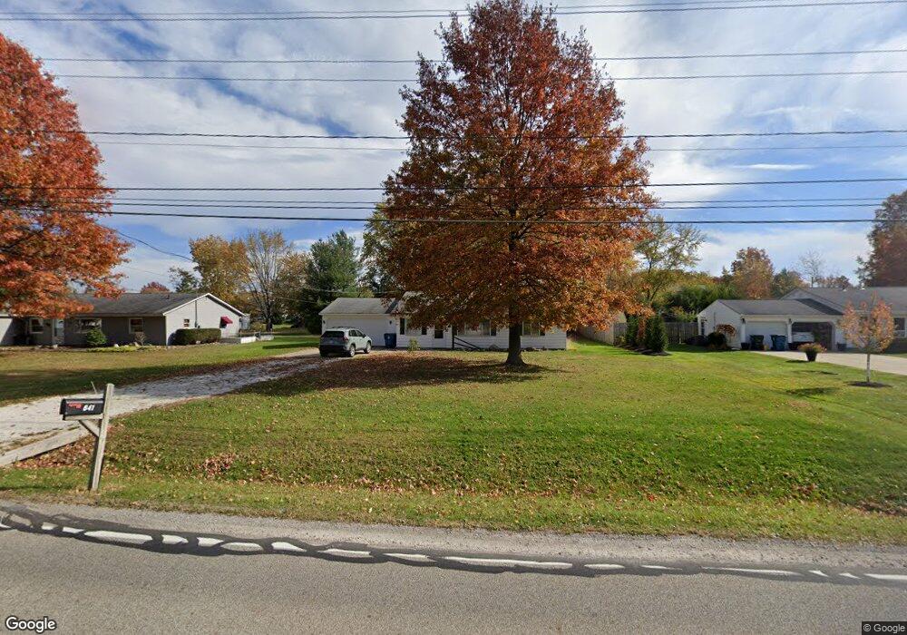
641 Substation Rd Brunswick, OH 44212
Estimated Value: $186,000 - $256,000
About This Home
This home is located at 641 Substation Rd, Brunswick, OH 44212 and is currently estimated at $226,513, approximately $176 per square foot. 641 Substation Rd is a home located in Medina County with nearby schools including Hickory Ridge Elementary School, Willets Middle School, and Brunswick High School.
Ownership History
We collect this data history from publicly available records. To have your information removed, we recommend requesting removal directly through your county’s website.
Purchase Details
Home Financials for this Owner
Home Financials are based on the most recent Mortgage that was taken out on this home.Purchase Details
Home Values in the Area
Average Home Value in this Area
Purchase History
We collect this data history from publicly available records. To have your information removed, we recommend requesting removal directly through your county’s website.
| Date | Buyer | Sale Price | Title Company |
|---|---|---|---|
| $160,000 | -- | ||
| $140,000 | Revere Title |
Mortgage History
We collect this data history from publicly available records. To have your information removed, we recommend requesting removal directly through your county’s website.
| Date | Status | Borrower | Loan Amount |
|---|---|---|---|
| Open | $120,000 |
Tax History
We collect this data history from publicly available records. To have your information removed, we recommend requesting removal directly through your county’s website.
| Year | Tax Paid | Tax Assessment Tax Assessment Total Assessment is a certain percentage of the fair market value that is determined by local assessors to be the total taxable value of land and additions on the property. | Land | Improvement |
|---|---|---|---|---|
| 2025 | $3,292 | $62,760 | $25,550 | $37,210 |
| 2024 | $3,292 | $54,190 | $25,090 | $29,100 |
| 2023 | $3,123 | $53,720 | $25,090 | $28,630 |
| 2022 | $2,945 | $53,720 | $25,090 | $28,630 |
| 2021 | $2,023 | $41,970 | $19,600 | $22,370 |
| 2020 | $1,838 | $41,970 | $19,600 | $22,370 |
| 2019 | $1,838 | $41,970 | $19,600 | $22,370 |
| 2018 | $1,673 | $37,840 | $17,810 | $20,030 |
| 2017 | $1,675 | $37,840 | $17,810 | $20,030 |
| 2016 | $1,674 | $37,840 | $17,810 | $20,030 |
| 2015 | $1,544 | $35,700 | $16,800 | $18,900 |
| 2014 | $1,541 | $35,700 | $16,800 | $18,900 |
| 2013 | $1,544 | $35,700 | $16,800 | $18,900 |
Map
- 595 Montgomery Dr
- 498 Rockledge Ln
- 446 Rockledge Ln
- 891 Pepperwood Dr
- 434 Sugarbush Cir
- 484 Water Pointe Ln
- 298 Substation Rd
- 817 Glencairn Ln
- 673 Northfork Way
- 979 Lonetree Ct
- 4457 Stone Creek Dr
- 1107 Country Way
- 4802 Wolff Dr
- 4611 Basswood Oval
- 5279 Creekside Blvd Unit P12
- 870 Glenrock Dr
- 807 Timberlake Trail Dr
- 441 Bridge Pointe Ln
- 4801 Stag Thicket Ln
- 5291 Stonehurst Dr
- 629 Substation Rd
- 651 Substation Rd
- 4819 Aldersyde Cir
- 619 Substation Rd
- 659 Substation Rd
- 4815 Aldersyde Cir
- 4816 Aldersyde Cir
- 638 Substation Rd
- 4807 Aldersyde Cir
- 644 Substation Rd
- 611 Substation Rd
- 669 Substation Rd
- 630 Substation Rd
- 4810 Aldersyde Cir
- 4804 Aldersyde Cir
- 601 Substation Rd
- 679 Substation Rd
- 4799 Aldersyde Cir
- 610 Substation Rd
- 4886 Orchard Dr
Ask me questions while you tour the home.