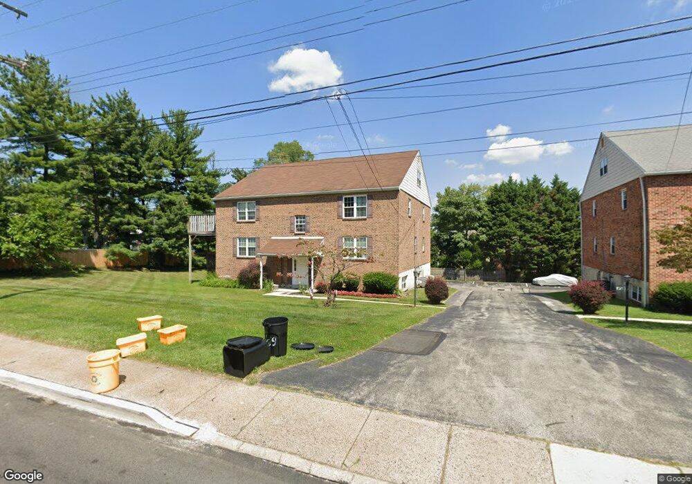
641 W Springfield Rd Unit B1 Springfield, PA 19064
Springfield AreaEstimated Value: $230,000 - $314,000
About This Home
This home is located at 641 W Springfield Rd Unit B1, Springfield, PA 19064 and is currently estimated at $279,338, approximately $272 per square foot. 641 W Springfield Rd Unit B1 is a home located in Delaware County with nearby schools including Springfield Literacy Center, ET Richardson Middle School, and Springfield High School.
Ownership History
We collect this data history from publicly available records. To have your information removed, we recommend requesting removal directly through your county’s website.
Purchase Details
Home Financials for this Owner
Home Financials are based on the most recent Mortgage that was taken out on this home.Home Values in the Area
Average Home Value in this Area
Purchase History
We collect this data history from publicly available records. To have your information removed, we recommend requesting removal directly through your county’s website.
| Date | Buyer | Sale Price | Title Company |
|---|---|---|---|
| $140,000 | Commonwealth Land Title Ins |
Mortgage History
We collect this data history from publicly available records. To have your information removed, we recommend requesting removal directly through your county’s website.
| Date | Status | Borrower | Loan Amount |
|---|---|---|---|
| Open | $89,500 | ||
| Closed | $40,000 | ||
| Closed | $18,000 | ||
| Closed | $112,000 |
Tax History
We collect this data history from publicly available records. To have your information removed, we recommend requesting removal directly through your county’s website.
| Year | Tax Paid | Tax Assessment Tax Assessment Total Assessment is a certain percentage of the fair market value that is determined by local assessors to be the total taxable value of land and additions on the property. | Land | Improvement |
|---|---|---|---|---|
| 2026 | $5,262 | $175,580 | $28,260 | $147,320 |
| 2025 | $4,935 | $175,580 | $28,260 | $147,320 |
| 2024 | $4,935 | $175,580 | $28,260 | $147,320 |
| 2023 | $4,752 | $175,580 | $28,260 | $147,320 |
| 2022 | $4,649 | $175,580 | $28,260 | $147,320 |
| 2021 | $7,200 | $175,580 | $28,260 | $147,320 |
| 2020 | $4,231 | $93,370 | $24,580 | $68,790 |
| 2019 | $4,132 | $93,370 | $24,580 | $68,790 |
| 2018 | $4,072 | $93,370 | $0 | $0 |
| 2017 | $3,978 | $93,370 | $0 | $0 |
| 2016 | $512 | $93,370 | $0 | $0 |
| 2015 | $512 | $93,370 | $0 | $0 |
| 2014 | $512 | $93,370 | $0 | $0 |
Map
- 55 N State Rd
- 105 Grandview Rd
- 450 Foster Dr
- 506 Flora Cir
- 116 Plymouth Rd
- 217 Hemlock Ln
- 356 N State Rd
- 200 W Springfield Rd
- 89 Saxer Ave
- 125 N Rolling Rd
- 29 School Ln
- 38 Wayne Ave
- 41 Wayne Ave
- 23 W Woodland Ave
- 401 N Rolling Rd
- 341 N Rolling Rd
- 271 Ballymore Rd
- 326 Ballymore Rd
- 316 Powell Rd
- 292 Valley View Rd
- 641 W Springfield Rd Unit B4
- 641 W Springfield Rd Unit B3
- 641 W Springfield Rd Unit B2
- 641 W Springfield Rd
- 639 W Springfield Rd Unit A4
- 639 W Springfield Rd Unit A3
- 639 W Springfield Rd Unit A2
- 639 W Springfield Rd Unit A1
- 624 Foster Dr
- 646 W Springfield Rd
- 633 W Springfield Rd
- 658 W Springfield Rd
- 620 Foster Dr
- 628 Foster Dr
- 638 W Springfield Rd
- 1 S State Rd
- 7 Curtis Rd
- 616 Foster Dr
- 6 Curtis Rd
- 627 W Springfield Rd
Ask me questions while you tour the home.