Estimated Value: $301,126 - $339,000
3
Beds
2
Baths
1,547
Sq Ft
$207/Sq Ft
Est. Value
About This Home
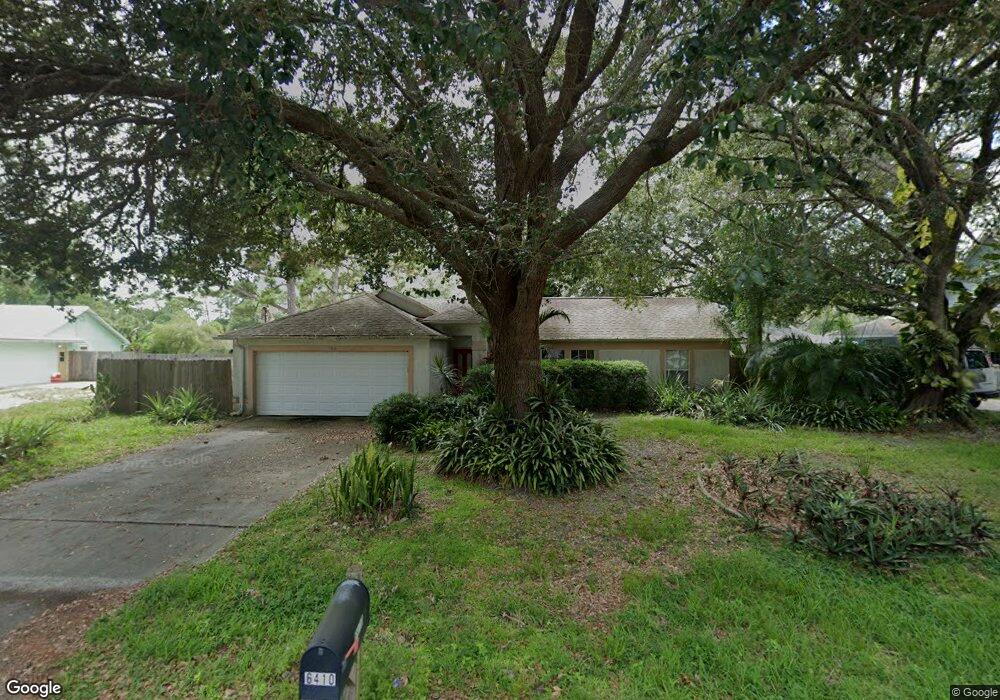
This home is located at 6410 Abisco Rd, Cocoa, FL 32927 and is currently estimated at $320,532, approximately $207 per square foot. 6410 Abisco Rd is a home located in Brevard County with nearby schools including Challenger 7 Elementary School, Space Coast Junior/Senior High School, and Sculptor Charter School.
Ownership History
Date
Name
Owned For
Owner Type
Purchase Details
Closed on
Feb 13, 2012
Sold by
Little Susan M
Bought by
Little William L
Current Estimated Value
Home Financials for this Owner
Home Financials are based on the most recent Mortgage that was taken out on this home.
Original Mortgage
$45,000
Outstanding Balance
$5,463
Interest Rate
3.91%
Estimated Equity
$315,069
Purchase Details
Closed on
Mar 16, 1999
Sold by
Brucker David J and Brucker Lauriee A
Bought by
Litte William L and Little Susan M
Home Financials for this Owner
Home Financials are based on the most recent Mortgage that was taken out on this home.
Original Mortgage
$68,000
Interest Rate
6.74%
Create a Home Valuation Report for This Property
The Home Valuation Report is an in-depth analysis detailing your home's value as well as a comparison with similar homes in the area
Home Values in the Area
Average Home Value in this Area
Purchase History
| Date | Buyer | Sale Price | Title Company |
|---|---|---|---|
| Little William L | -- | Fidelity National Title Of F | |
| Litte William L | $85,000 | -- |
Source: Public Records
Mortgage History
| Date | Status | Borrower | Loan Amount |
|---|---|---|---|
| Open | Little William L | $45,000 | |
| Previous Owner | Litte William L | $68,000 |
Source: Public Records
Tax History
| Year | Tax Paid | Tax Assessment Tax Assessment Total Assessment is a certain percentage of the fair market value that is determined by local assessors to be the total taxable value of land and additions on the property. | Land | Improvement |
|---|---|---|---|---|
| 2025 | $1,237 | $88,400 | -- | -- |
| 2024 | $1,200 | $85,910 | -- | -- |
| 2023 | $1,200 | $83,410 | $0 | $0 |
| 2022 | $1,115 | $80,860 | $0 | $0 |
| 2021 | $1,104 | $78,510 | $0 | $0 |
| 2020 | $1,038 | $77,430 | $0 | $0 |
| 2019 | $971 | $75,690 | $0 | $0 |
| 2018 | $967 | $74,280 | $0 | $0 |
| 2017 | $967 | $72,760 | $0 | $0 |
| 2016 | $976 | $71,270 | $18,000 | $53,270 |
| 2015 | $986 | $70,780 | $15,000 | $55,780 |
| 2014 | $991 | $70,220 | $11,000 | $59,220 |
Source: Public Records
Map
Nearby Homes
- 00 Unknown
- 6450 Ember Ave
- 6398 Cable Ave
- 5220 Holden Rd
- 6375 Cable Ave
- 0000 Grissom Pkwy
- 6240 Grissom Pkwy
- 4975 Fay Blvd
- 5221 Carrick Rd
- 6438 Hudson Rd
- 6615 Dock Ave
- 6094 Cardiff Ave
- 6620 Grissom Pkwy
- 6760 Cairo Rd
- 6020 Cannon Ave
- 6481 La Brea Ave
- 6310 Depot Ave
- 6815 Bryant Rd
- 6581 Bancroft Ave
- 5680 Banos Ave
Your Personal Tour Guide
Ask me questions while you tour the home.