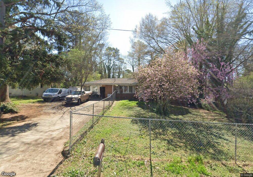
6429 Timothy Ln Unit 2 Austell, GA 30168
Estimated Value: $207,000 - $237,000
2
Beds
2
Baths
1,175
Sq Ft
$191/Sq Ft
Est. Value
About This Home
This home is located at 6429 Timothy Ln Unit 2, Austell, GA 30168 and is currently estimated at $224,410, approximately $190 per square foot. 6429 Timothy Ln Unit 2 is a home located in Cobb County with nearby schools including Bryant Elementary School, Lindley Middle School, and Pebblebrook High School.
Ownership History
Date
Name
Owned For
Owner Type
Purchase Details
Closed on
Oct 9, 2001
Sold by
Nix Mary G
Bought by
Parks Tiffany and Parks David
Current Estimated Value
Home Financials for this Owner
Home Financials are based on the most recent Mortgage that was taken out on this home.
Original Mortgage
$120,650
Interest Rate
6.05%
Mortgage Type
New Conventional
Create a Home Valuation Report for This Property
The Home Valuation Report is an in-depth analysis detailing your home's value as well as a comparison with similar homes in the area
Home Values in the Area
Average Home Value in this Area
Purchase History
| Date | Buyer | Sale Price | Title Company |
|---|---|---|---|
| Parks Tiffany | $97,000 | -- |
Source: Public Records
Mortgage History
| Date | Status | Borrower | Loan Amount |
|---|---|---|---|
| Previous Owner | Parks Tiffany | $120,650 |
Source: Public Records
Tax History
| Year | Tax Paid | Tax Assessment Tax Assessment Total Assessment is a certain percentage of the fair market value that is determined by local assessors to be the total taxable value of land and additions on the property. | Land | Improvement |
|---|---|---|---|---|
| 2025 | $1,817 | $83,280 | $20,000 | $63,280 |
| 2024 | $1,196 | $54,588 | $12,000 | $42,588 |
| 2023 | $653 | $54,588 | $12,000 | $42,588 |
Source: Public Records
Map
Nearby Homes
- 1961 Abbey Province
- 1972 Cox Dr Unit 5
- 6581 Coventry Point Unit 1
- 0 Maxham Rd Unit 10652291
- 6488 Drake Manor
- 6496 Drake Manor
- 6718 Roscommon Dr
- 1920 Silver Creek Dr Unit 4
- 6083 Oak Hill Dr
- 6563 Brandemere Way
- 1710 S Gordon Rd
- 110 Creekway Dr
- 1138 Pontiac Cir
- 1138 Pontiac Cir Unit 23
- 6445 Sherwood Trail
- 1576 S Gordon Rd
- 2030 Linda Dr
- 6595 Malvin Dr
- 1794 Blossom Ln
- 1792 Gold Finch Way
- 6419 Timothy Ln
- 6439 Timothy Ln
- 6449 Timothy Ln
- 6420 Timothy Ln
- 6430 Timothy Ln
- 2075 Cardell Rd
- 2111 Cardell Rd
- 6440 Timothy Ln
- 2069 Cardell Rd Unit 3
- 2069 Cardell Rd
- 2101 Cardell Rd
- 2055 Cardell Rd
- 2093 Cardell Rd
- 2084 Cardell Rd Unit 1
- 2076 Cardell Rd
- 2103 Cardell Rd Unit 1
- 2100 Cardell Rd Unit 1
- 1356 Pritchett Industrial Blvd
- 2063 Cardell Rd
- 2053 Cardell Rd
Your Personal Tour Guide
Ask me questions while you tour the home.